49 Williams Cir Toccoa, GA 30577
Estimated Value: $235,000 - $388,000
2
Beds
1
Bath
2,412
Sq Ft
$121/Sq Ft
Est. Value
About This Home
This home is located at 49 Williams Cir, Toccoa, GA 30577 and is currently estimated at $290,913, approximately $120 per square foot. 49 Williams Cir is a home located in Stephens County with nearby schools including Stephens County High School.
Ownership History
Date
Name
Owned For
Owner Type
Purchase Details
Closed on
Apr 4, 2023
Sold by
Harbert Zackery C
Bought by
Carter John L
Current Estimated Value
Purchase Details
Closed on
Jul 26, 2005
Sold by
Harbert Stevie
Bought by
Harbert Zack and Mckie Susan
Create a Home Valuation Report for This Property
The Home Valuation Report is an in-depth analysis detailing your home's value as well as a comparison with similar homes in the area
Purchase History
| Date | Buyer | Sale Price | Title Company |
|---|---|---|---|
| Carter John L | -- | -- | |
| Harbert Zack | -- | -- |
Source: Public Records
Tax History
| Year | Tax Paid | Tax Assessment Tax Assessment Total Assessment is a certain percentage of the fair market value that is determined by local assessors to be the total taxable value of land and additions on the property. | Land | Improvement |
|---|---|---|---|---|
| 2025 | $158 | $5,762 | $5,762 | $0 |
| 2024 | $1,405 | $46,152 | $5,762 | $40,390 |
| 2023 | $698 | $42,930 | $5,762 | $37,168 |
| 2022 | $1,145 | $40,462 | $5,762 | $34,700 |
| 2021 | $1,097 | $37,077 | $5,762 | $31,315 |
| 2020 | $1,121 | $37,493 | $5,762 | $31,731 |
| 2019 | $659 | $22,788 | $5,488 | $17,300 |
| 2018 | $651 | $22,532 | $5,488 | $17,044 |
| 2017 | $661 | $22,532 | $5,488 | $17,044 |
| 2016 | $651 | $22,532 | $5,488 | $17,044 |
| 2015 | $630 | $20,978 | $5,488 | $15,490 |
| 2014 | $659 | $21,528 | $5,488 | $16,040 |
| 2013 | -- | $22,900 | $6,860 | $16,040 |
Source: Public Records
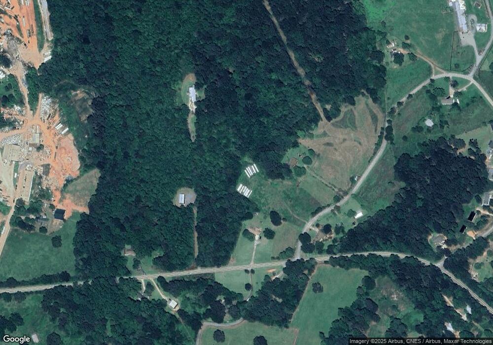
Map
Nearby Homes
- 3.35 ACRES Keener Rd
- 513 S Red Rock Rd
- 46 Cedar Ridge Dr
- 900 Defoor Rd
- 451 Defoor Rd
- Lot 21 Deer Chase
- 535 Deer Chase
- 5.10 ACRES Hwy 123
- 2986 Defoor Rd
- 78 Wards Pond Way
- 8 Fornoff Dr
- 68 Wards Pond Way
- 12 Ward's Pond Way
- 109 Coneflower Ln
- 300 Rock Creek Trail
- 101 Cottage Ln
- 0 Scott Rd Unit 10702484
- 15 Cottage Ln
- 15 Cottage Ln Unit 102
- 17 Cottage Ln Unit 202
- 101 Williams Cir
- 4201 Rock Creek Rd
- 48 Williams Cir
- 31 Mitchell Rd
- 4202 Rock Creek Rd
- 4073 Rock Creek Rd
- 4096 Rock Creek Rd
- 223 Mitchell Rd
- 320 Williams Cir
- 620 Williams Cir
- 415 Old Brookhaven Cir
- 534 Williams Cir
- 517 Williams Cir Unit B
- 100 McJunkin Rd
- 100 McJunkin Rd
- 576 Williams Cir
- 684 Old Brookhaven Cir
- 801 Old Brookhaven Cir
- 498 Williams Cir
- 5173 Williams Cir Unit B
Your Personal Tour Guide
Ask me questions while you tour the home.