Estimated Value: $119,000 - $235,597
3
Beds
2
Baths
1,500
Sq Ft
$126/Sq Ft
Est. Value
About This Home
This home is located at 490 Ambs Rd, Colon, MI 49040 and is currently estimated at $188,899, approximately $125 per square foot. 490 Ambs Rd is a home located in Branch County.
Ownership History
Date
Name
Owned For
Owner Type
Purchase Details
Closed on
Jan 17, 2003
Bought by
Carr Phillip E and Carr Darcie C
Current Estimated Value
Create a Home Valuation Report for This Property
The Home Valuation Report is an in-depth analysis detailing your home's value as well as a comparison with similar homes in the area
Purchase History
| Date | Buyer | Sale Price | Title Company |
|---|---|---|---|
| Carr Phillip E | $110,000 | -- |
Source: Public Records
Tax History
| Year | Tax Paid | Tax Assessment Tax Assessment Total Assessment is a certain percentage of the fair market value that is determined by local assessors to be the total taxable value of land and additions on the property. | Land | Improvement |
|---|---|---|---|---|
| 2025 | $1,561 | $76,900 | $0 | $0 |
| 2024 | $5 | $78,400 | $0 | $0 |
| 2023 | $524 | $76,200 | $0 | $0 |
| 2022 | $524 | $76,800 | $0 | $0 |
| 2020 | -- | $62,600 | $0 | $0 |
| 2019 | -- | $55,100 | $0 | $0 |
| 2018 | -- | $53,000 | $0 | $0 |
| 2017 | -- | $57,000 | $0 | $0 |
| 2016 | -- | $58,845 | $0 | $0 |
| 2015 | -- | $42,919 | $0 | $0 |
| 2014 | -- | $43,013 | $0 | $0 |
| 2013 | -- | $44,739 | $0 | $0 |
Source: Public Records
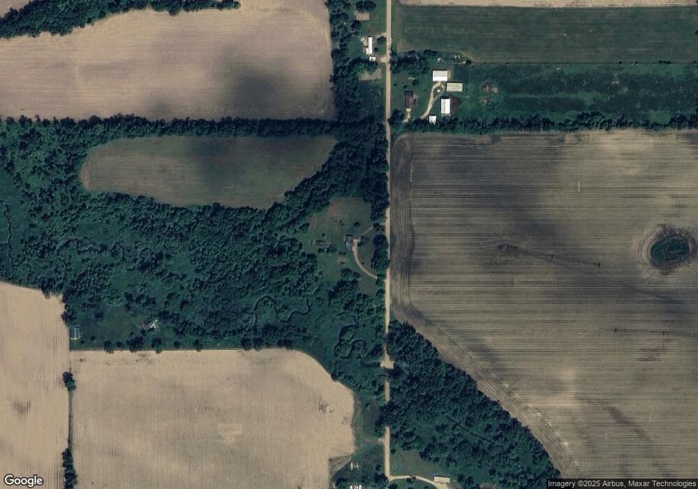
Map
Nearby Homes
- 59178 Nora Dr
- 804 E State St
- 0 N Burr Oak Rd
- 33273 E Palmer Lake Rd
- 407 Barry St
- 161 Palmer Ave
- 120 Palmer Ave
- 210 E South St
- 309 N Blackstone Ave
- 3741 N Blackstone Ave
- 917 Elm St
- VL Bowman St
- 58954 Lakeshore Dr
- 31908 Decker Rd
- 31688 W Colon Rd
- 0 Coohon Rd
- 30725 Orla Engle Rd
- 1121 Heights Dr
- VL Heights Dr
- 0 Dunks Rd
Your Personal Tour Guide
Ask me questions while you tour the home.