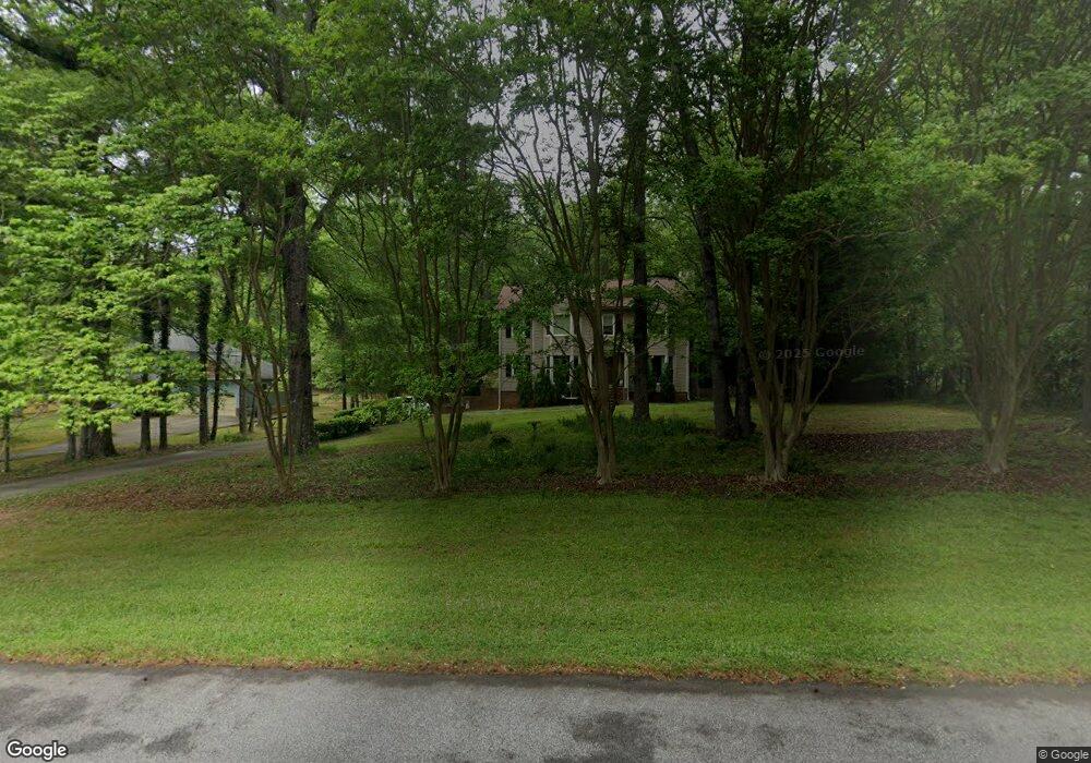
490 Anthony Dr Unit 7-107 Tyrone, GA 30290
Estimated Value: $438,097 - $454,000
Studio
3
Baths
2,262
Sq Ft
$197/Sq Ft
Est. Value
About This Home
This home is located at 490 Anthony Dr Unit 7-107, Tyrone, GA 30290 and is currently estimated at $446,024, approximately $197 per square foot. 490 Anthony Dr Unit 7-107 is a home located in Fayette County with nearby schools including Robert J. Burch Elementary School, Flat Rock Middle School, and Sandy Creek High School.
Ownership History
Date
Name
Owned For
Owner Type
Purchase Details
Closed on
Feb 24, 2017
Sold by
Scafe Rohan L
Bought by
Meyer Jared Adam and Meyer Emily Rose
Current Estimated Value
Home Financials for this Owner
Home Financials are based on the most recent Mortgage that was taken out on this home.
Original Mortgage
$191,250
Outstanding Balance
$156,769
Interest Rate
4.19%
Mortgage Type
New Conventional
Estimated Equity
$289,255
Purchase Details
Closed on
Sep 7, 2006
Sold by
Lynch Ralph J and Lynch Patti C
Bought by
Scafe Rohan L and Scafe Patricia A
Home Financials for this Owner
Home Financials are based on the most recent Mortgage that was taken out on this home.
Original Mortgage
$158,400
Interest Rate
6.52%
Mortgage Type
New Conventional
Create a Home Valuation Report for This Property
The Home Valuation Report is an in-depth analysis detailing your home's value as well as a comparison with similar homes in the area
Home Values in the Area
Average Home Value in this Area
Purchase History
We collect this data history from publicly available records. To have your information removed, we recommend requesting removal directly through your county’s website.
| Date | Buyer | Sale Price | Title Company |
|---|---|---|---|
| Meyer Jared Adam | $225,000 | -- | |
| Scafe Rohan L | $198,000 | -- |
Source: Public Records
Mortgage History
We collect this data history from publicly available records. To have your information removed, we recommend requesting removal directly through your county’s website.
| Date | Status | Borrower | Loan Amount |
|---|---|---|---|
| Open | Meyer Jared Adam | $191,250 | |
| Previous Owner | Scafe Rohan L | $158,400 |
Source: Public Records
Tax History
| Year | Tax Paid | Tax Assessment Tax Assessment Total Assessment is a certain percentage of the fair market value that is determined by local assessors to be the total taxable value of land and additions on the property. | Land | Improvement |
|---|---|---|---|---|
| 2025 | $3,420 | $156,866 | $23,540 | $133,326 |
| 2024 | $3,330 | $146,604 | $22,000 | $124,604 |
| 2023 | $2,954 | $148,880 | $22,000 | $126,880 |
| 2022 | $3,165 | $131,000 | $22,000 | $109,000 |
| 2021 | $2,943 | $112,720 | $22,000 | $90,720 |
| 2020 | $3,136 | $102,920 | $14,400 | $88,520 |
| 2019 | $3,043 | $99,000 | $14,400 | $84,600 |
| 2018 | $2,569 | $83,120 | $14,400 | $68,720 |
| 2017 | $2,784 | $89,560 | $14,400 | $75,160 |
| 2016 | $2,331 | $73,960 | $14,400 | $59,560 |
| 2015 | $2,069 | $64,880 | $14,400 | $50,480 |
| 2014 | $1,829 | $56,720 | $14,400 | $42,320 |
| 2013 | -- | $55,040 | $0 | $0 |
Source: Public Records
Map
Nearby Homes
- 475 Anthony Dr
- 285 Pendleton Trail
- 717 Tyrone Rd
- 100 Brookfield Ct
- 365 Pendleton Trail
- 919 Tyrone Rd
- 195 Farr Lake Dr
- 125 Farr Lake Dr
- 250 Chimney Springs
- 165 Swanson Valley Dr
- 140 Devonshire Place
- 110 Foster Ln
- 175 Annabelle Ln
- 105 Scott Blvd
- 0 Erwin Run Unit 10585589
- 215 Berry Hill Ln
- 105 Havenbrooke Ct
- 0 Georgia 74
- 110 Wickham Dr
- 100 Wickham Dr
- 490 Anthony Dr
- 480 Anthony Dr Unit 86
- 480 Anthony Dr
- 500 Anthony Dr Unit 84
- 500 Anthony Dr
- 470 Anthony Dr
- 505 Anthony Dr
- 505 Anthony Dr Unit 105
- 525 Anthony Dr
- 345 Michael Rd
- 495 Anthony Dr
- 515 Anthony Dr
- 460 Anthony Dr
- 335 Michael Rd
- 355 Michael Rd
- 115 Whitney Ct
- 485 Anthony Dr
- 400 Michael Rd
- 365 Michael Rd
- 125 Whitney Ct
Your Personal Tour Guide
Ask me questions while you tour the home.