Estimated Value: $585,680 - $622,000
3
Beds
2
Baths
2,321
Sq Ft
$259/Sq Ft
Est. Value
About This Home
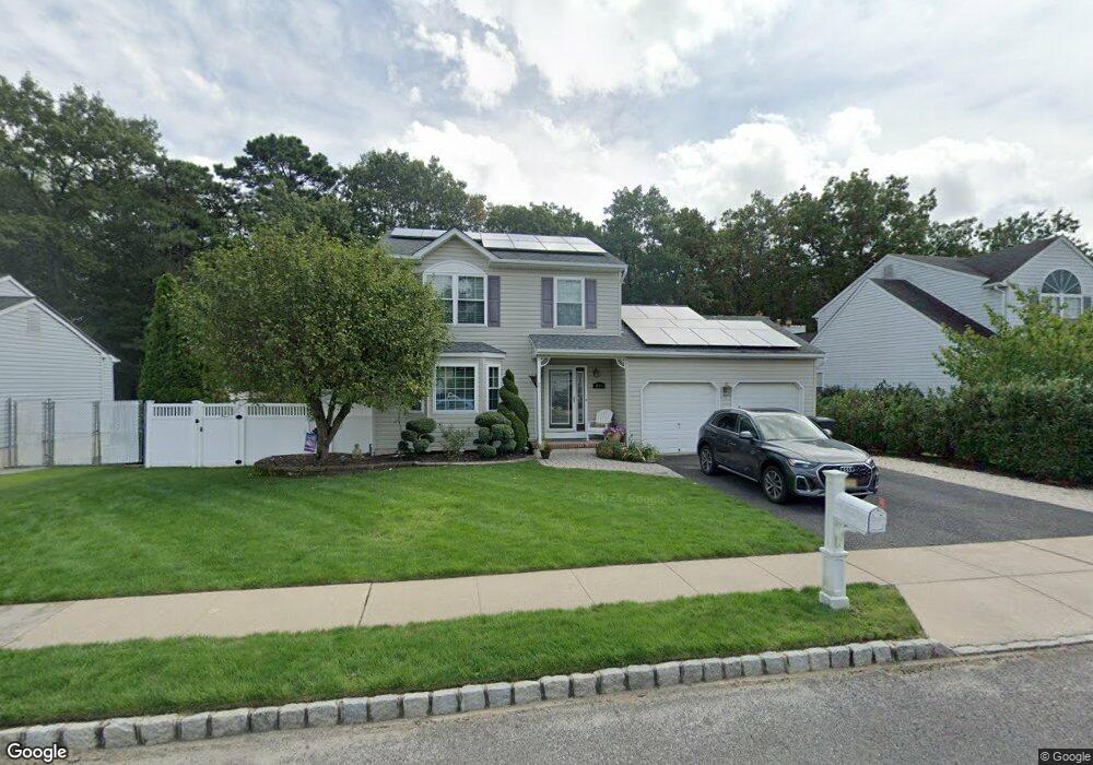
This home is located at 490 Austin Ave, Brick, NJ 08724 and is currently estimated at $600,920, approximately $258 per square foot. 490 Austin Ave is a home located in Ocean County with nearby schools including Veterans Memorial Elementary School, Veterans Memorial Middle School, and Brick Township Memorial High School.
Ownership History
Date
Name
Owned For
Owner Type
Purchase Details
Closed on
Oct 23, 2002
Current Estimated Value
Purchase Details
Closed on
Oct 30, 2001
Sold by
Thompson Renee Zuccarilli
Bought by
Combs Preston and Mc Grath Cheryl
Home Financials for this Owner
Home Financials are based on the most recent Mortgage that was taken out on this home.
Original Mortgage
$160,000
Interest Rate
6.82%
Purchase Details
Closed on
Dec 21, 1999
Sold by
Meseck Robert
Bought by
Zuccarelli Renee
Home Financials for this Owner
Home Financials are based on the most recent Mortgage that was taken out on this home.
Original Mortgage
$138,400
Interest Rate
7.79%
Purchase Details
Closed on
Jan 19, 1994
Sold by
Arya Properties
Bought by
Meseck Robert A and Meseck Sharon A
Home Financials for this Owner
Home Financials are based on the most recent Mortgage that was taken out on this home.
Original Mortgage
$124,000
Interest Rate
7.12%
Create a Home Valuation Report for This Property
The Home Valuation Report is an in-depth analysis detailing your home's value as well as a comparison with similar homes in the area
Home Values in the Area
Average Home Value in this Area
Purchase History
| Date | Buyer | Sale Price | Title Company |
|---|---|---|---|
| -- | $289,000 | -- | |
| Combs Preston | $210,000 | -- | |
| Zuccarelli Renee | $169,000 | -- | |
| Meseck Robert A | $134,900 | -- |
Source: Public Records
Mortgage History
| Date | Status | Borrower | Loan Amount |
|---|---|---|---|
| Previous Owner | Combs Preston | $160,000 | |
| Previous Owner | Zuccarelli Renee | $138,400 | |
| Previous Owner | Meseck Robert A | $124,000 |
Source: Public Records
Tax History Compared to Growth
Tax History
| Year | Tax Paid | Tax Assessment Tax Assessment Total Assessment is a certain percentage of the fair market value that is determined by local assessors to be the total taxable value of land and additions on the property. | Land | Improvement |
|---|---|---|---|---|
| 2025 | $7,619 | $291,900 | $150,800 | $141,100 |
| 2024 | $7,230 | $291,900 | $150,800 | $141,100 |
| 2023 | $7,125 | $291,900 | $150,800 | $141,100 |
| 2022 | $7,125 | $291,900 | $150,800 | $141,100 |
| 2021 | $6,976 | $291,900 | $150,800 | $141,100 |
| 2020 | $6,886 | $291,900 | $150,800 | $141,100 |
| 2019 | $6,763 | $291,900 | $150,800 | $141,100 |
| 2018 | $6,609 | $291,900 | $150,800 | $141,100 |
| 2017 | $6,431 | $291,900 | $150,800 | $141,100 |
| 2016 | $6,396 | $291,900 | $150,800 | $141,100 |
| 2015 | $6,229 | $291,900 | $150,800 | $141,100 |
| 2014 | $6,177 | $291,900 | $150,800 | $141,100 |
Source: Public Records
Map
Nearby Homes
- 462 Austin Ave
- 291 Prospect Dr
- 270 Westwood Place
- 302 Maxwell Ct
- 405 17th Ave
- 404 Driscol Dr
- 600 Driscol Dr
- 853 Stengel Ave
- 456 Rose Ave
- 10 Foxwood Ct Unit 93
- 384 18th Ave
- 27 Newport Ct Unit 239
- 861 Wraight Ave
- 128 Harding Dr
- 16 English Ln
- 47 Newport Ct Unit 6
- 38 Coventry Ct Unit 3
- 116 Roosevelt Dr
- 174 Glenmore St
- 528 Azalea Dr