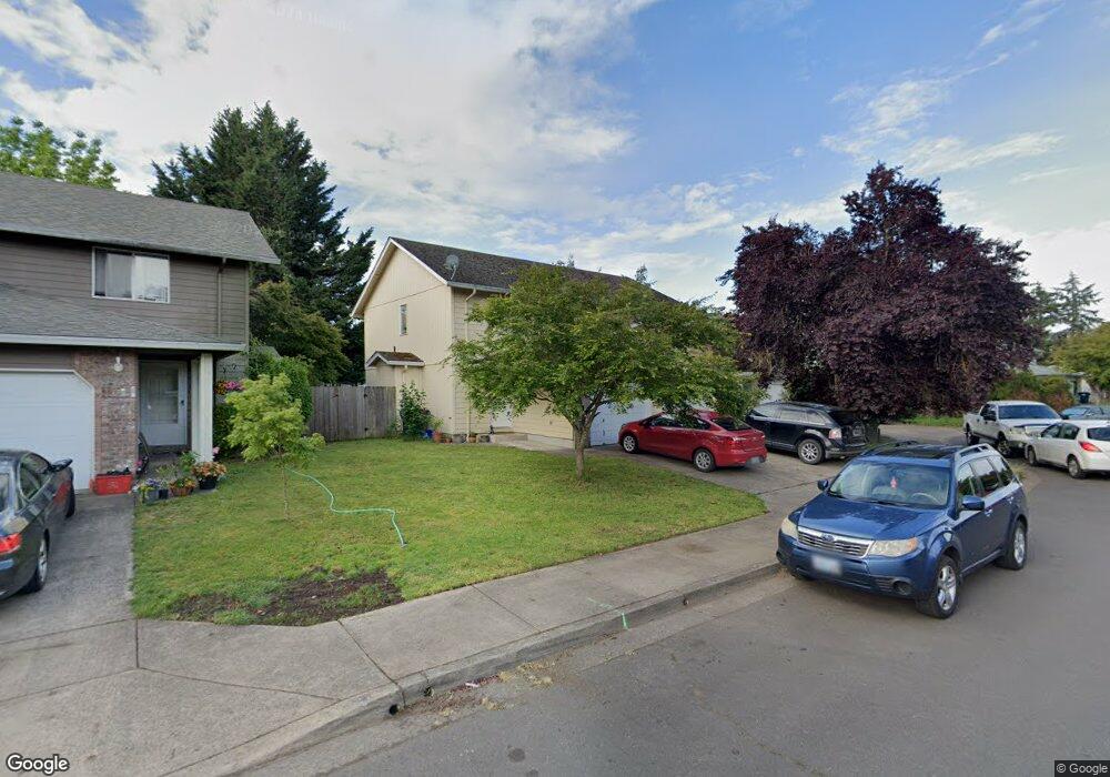
490 Autumn Ave Eugene, OR 97404
Santa Clara NeighborhoodEstimated Value: $505,285 - $544,000
6
Beds
4
Baths
2,228
Sq Ft
$237/Sq Ft
Est. Value
About This Home
This home is located at 490 Autumn Ave, Eugene, OR 97404 and is currently estimated at $527,321, approximately $236 per square foot. 490 Autumn Ave is a home located in Lane County with nearby schools including Awbrey Park Elementary School, Madison Middle School, and North Eugene High School.
Ownership History
Date
Name
Owned For
Owner Type
Purchase Details
Closed on
May 13, 2016
Sold by
Higbee Gary R
Bought by
Posey Lance B and Posey Tana L
Current Estimated Value
Home Financials for this Owner
Home Financials are based on the most recent Mortgage that was taken out on this home.
Original Mortgage
$173,600
Outstanding Balance
$138,050
Interest Rate
3.71%
Mortgage Type
New Conventional
Estimated Equity
$389,271
Purchase Details
Closed on
Aug 15, 2002
Sold by
Myrick Beau
Bought by
Higbee Gary R
Home Financials for this Owner
Home Financials are based on the most recent Mortgage that was taken out on this home.
Original Mortgage
$78,218
Interest Rate
5.99%
Create a Home Valuation Report for This Property
The Home Valuation Report is an in-depth analysis detailing your home's value as well as a comparison with similar homes in the area
Home Values in the Area
Average Home Value in this Area
Purchase History
| Date | Buyer | Sale Price | Title Company |
|---|---|---|---|
| Posey Lance B | $248,000 | Cascade Title Company | |
| Higbee Gary R | $178,500 | Fidelity National Title Co |
Source: Public Records
Mortgage History
| Date | Status | Borrower | Loan Amount |
|---|---|---|---|
| Open | Posey Lance B | $173,600 | |
| Previous Owner | Higbee Gary R | $78,218 |
Source: Public Records
Tax History Compared to Growth
Tax History
| Year | Tax Paid | Tax Assessment Tax Assessment Total Assessment is a certain percentage of the fair market value that is determined by local assessors to be the total taxable value of land and additions on the property. | Land | Improvement |
|---|---|---|---|---|
| 2025 | $5,835 | $299,471 | -- | -- |
| 2024 | $5,762 | $290,749 | -- | -- |
| 2023 | $5,762 | $282,281 | $0 | $0 |
| 2022 | $5,398 | $274,060 | $0 | $0 |
| 2021 | $5,070 | $266,078 | $0 | $0 |
| 2020 | $4,940 | $258,329 | $0 | $0 |
| 2019 | $4,715 | $250,805 | $0 | $0 |
| 2018 | $4,325 | $236,408 | $0 | $0 |
| 2017 | $4,102 | $236,408 | $0 | $0 |
| 2016 | $3,963 | $229,522 | $0 | $0 |
| 2015 | $3,893 | $222,837 | $0 | $0 |
| 2014 | $3,816 | $216,347 | $0 | $0 |
Source: Public Records
Map
Nearby Homes
- 2630 Justine Ln
- 0 450-2 Unit 657824339
- 450 Hunsaker Ln
- 0 450-1 Unit 582743661
- 825 River Ave
- 475 Salty Way
- 190 Hunsaker Ln
- 419 Salty Way
- 193 Santa Clara Ave
- 190 River Loop 1
- 2892 Riverwalk Loop
- 2874 Riverwalk Loop
- 1880 Manihi Dr
- 303 Lenore Loop
- 154 Norman Ave
- 3346 Zane Ln
- 3352 Zane Ln
- 2709 Riverwalk Loop
- 1665 Evergreen Dr
- 3234 Riverplace Dr