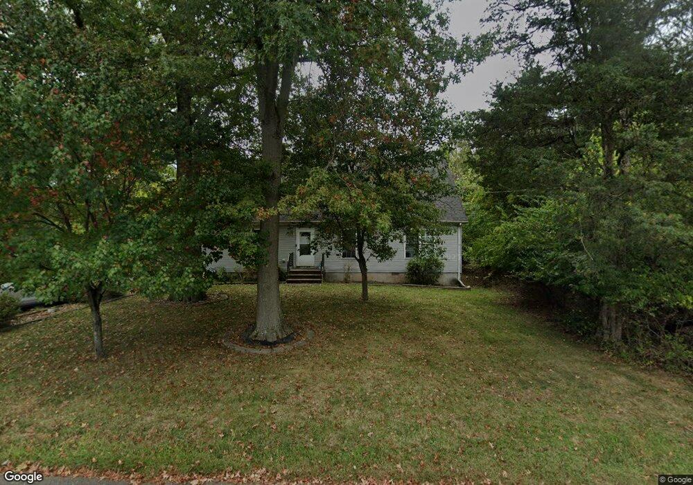
490 Blue Ridge Ave Piscataway, NJ 08854
Estimated Value: $510,000 - $720,000
--
Bed
--
Bath
1,776
Sq Ft
$366/Sq Ft
Est. Value
About This Home
This home is located at 490 Blue Ridge Ave, Piscataway, NJ 08854 and is currently estimated at $649,930, approximately $365 per square foot. 490 Blue Ridge Ave is a home located in Middlesex County with nearby schools including Martin Luther King Intermediate School, Randolphville Elementary School, and Conackamack Middle School.
Ownership History
Date
Name
Owned For
Owner Type
Purchase Details
Closed on
Jan 20, 2005
Sold by
Stein Leland
Bought by
Stein Michael
Current Estimated Value
Home Financials for this Owner
Home Financials are based on the most recent Mortgage that was taken out on this home.
Original Mortgage
$210,000
Outstanding Balance
$105,464
Interest Rate
5.67%
Mortgage Type
New Conventional
Estimated Equity
$544,466
Create a Home Valuation Report for This Property
The Home Valuation Report is an in-depth analysis detailing your home's value as well as a comparison with similar homes in the area
Home Values in the Area
Average Home Value in this Area
Purchase History
| Date | Buyer | Sale Price | Title Company |
|---|---|---|---|
| Stein Michael | $265,000 | -- |
Source: Public Records
Mortgage History
| Date | Status | Borrower | Loan Amount |
|---|---|---|---|
| Open | Stein Michael | $210,000 |
Source: Public Records
Tax History Compared to Growth
Tax History
| Year | Tax Paid | Tax Assessment Tax Assessment Total Assessment is a certain percentage of the fair market value that is determined by local assessors to be the total taxable value of land and additions on the property. | Land | Improvement |
|---|---|---|---|---|
| 2025 | $10,041 | $601,600 | $359,800 | $241,800 |
| 2024 | $10,143 | $513,100 | $232,100 | $281,000 |
| 2023 | $10,143 | $485,300 | $232,100 | $253,200 |
| 2022 | $10,199 | $452,900 | $232,100 | $220,800 |
| 2021 | $9,257 | $429,800 | $232,100 | $197,700 |
| 2020 | $9,706 | $415,500 | $217,100 | $198,400 |
| 2019 | $9,872 | $415,500 | $217,100 | $198,400 |
| 2018 | $9,626 | $405,800 | $217,100 | $188,700 |
| 2017 | $8,807 | $321,300 | $127,100 | $194,200 |
| 2016 | $8,643 | $321,300 | $127,100 | $194,200 |
| 2015 | $8,521 | $321,300 | $127,100 | $194,200 |
| 2014 | $8,328 | $321,300 | $127,100 | $194,200 |
Source: Public Records
Map
Nearby Homes
- 352 Lancaster Ct
- 336 Lancaster Ct Unit 2336
- 127 Berkshire Ct
- 73 Morris Ave
- 4 Dewey Ct
- 18 High Point Way
- 21 Thornton Ln
- 80 Mitchell Ave
- 206 Overbrook Rd
- 385 Metlars Ln
- 45 Mitchell Ave
- 400 Rivercrest Dr
- 76 Woodland Rd
- 148 Woodland Rd
- 460 Sidney Rd
- 131 Woodland Rd
- 226 Hanson Ave
- 110 Sylvan Ave
- 236 Highland Ave
- 606 Willow Ave
- 481 Blue Ridge Ave
- 470 Blue Ridge Ave
- 471 Blue Ridge Ave
- 498 Blue Ridge Ave
- 501 Blue Ridge Ave
- 0 Blue Ridge Ave Unit 574
- 462 Blue Ridge Ave
- 500 Blue Ridge Ave
- 2 Piluso Way
- 461 Blue Ridge Ave
- 514 Blue Ridge Ave
- 511 Blue Ridge Ave
- 4 Piluso Way
- 515 Blue Ridge Ave
- 981 Gates Ave
- 991 Gates Ave
- 977 Gates Ave
- 522 Blue Ridge Ave
- 951 Gates Ave
- 6 Piluso Way