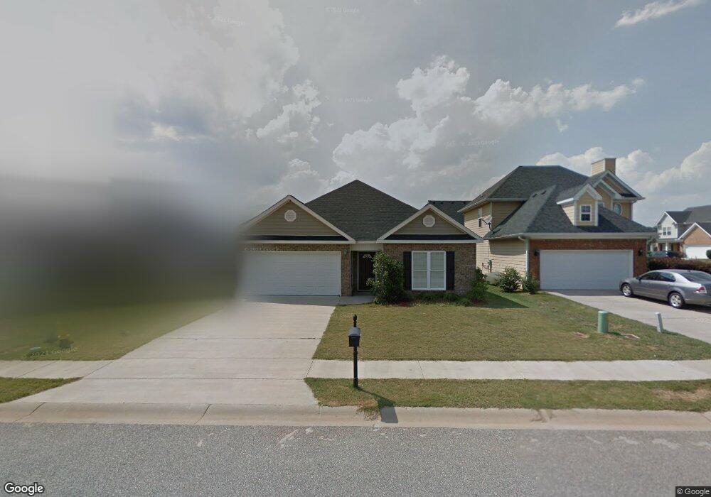
490 Bob White Rd Macon, GA 31216
Estimated Value: $200,728 - $242,000
3
Beds
3
Baths
1,438
Sq Ft
$151/Sq Ft
Est. Value
About This Home
This home is located at 490 Bob White Rd, Macon, GA 31216 and is currently estimated at $216,682, approximately $150 per square foot. 490 Bob White Rd is a home located in Bibb County with nearby schools including Heard Elementary School, Rutland Middle School, and Rutland High School.
Ownership History
Date
Name
Owned For
Owner Type
Purchase Details
Closed on
Jun 11, 2009
Sold by
Raines Timeka N
Bought by
Urban Richard
Current Estimated Value
Home Financials for this Owner
Home Financials are based on the most recent Mortgage that was taken out on this home.
Original Mortgage
$117,472
Outstanding Balance
$73,661
Interest Rate
4.79%
Mortgage Type
VA
Estimated Equity
$143,021
Purchase Details
Closed on
Jun 30, 2006
Sold by
Choice Homes Inc
Bought by
Raines Timeka N
Home Financials for this Owner
Home Financials are based on the most recent Mortgage that was taken out on this home.
Original Mortgage
$15,200
Interest Rate
8.67%
Mortgage Type
Adjustable Rate Mortgage/ARM
Purchase Details
Closed on
Aug 9, 2005
Create a Home Valuation Report for This Property
The Home Valuation Report is an in-depth analysis detailing your home's value as well as a comparison with similar homes in the area
Home Values in the Area
Average Home Value in this Area
Purchase History
| Date | Buyer | Sale Price | Title Company |
|---|---|---|---|
| Urban Richard | $115,000 | None Available | |
| Raines Timeka N | $15,200 | None Avelable | |
| -- | $192,800 | -- |
Source: Public Records
Mortgage History
| Date | Status | Borrower | Loan Amount |
|---|---|---|---|
| Open | Urban Richard | $117,472 | |
| Previous Owner | Raines Timeka N | $15,200 |
Source: Public Records
Tax History Compared to Growth
Tax History
| Year | Tax Paid | Tax Assessment Tax Assessment Total Assessment is a certain percentage of the fair market value that is determined by local assessors to be the total taxable value of land and additions on the property. | Land | Improvement |
|---|---|---|---|---|
| 2025 | $1,605 | $65,312 | $10,000 | $55,312 |
| 2024 | $1,659 | $65,312 | $10,000 | $55,312 |
| 2023 | $1,614 | $63,565 | $10,000 | $53,565 |
| 2022 | $1,993 | $57,574 | $8,000 | $49,574 |
| 2021 | $2,083 | $54,814 | $7,600 | $47,214 |
| 2020 | $1,822 | $46,932 | $6,800 | $40,132 |
| 2019 | $1,837 | $46,932 | $6,800 | $40,132 |
| 2018 | $2,635 | $40,944 | $6,800 | $34,144 |
| 2017 | $1,485 | $39,630 | $6,800 | $32,830 |
| 2016 | $1,236 | $35,716 | $5,950 | $29,766 |
| 2015 | $1,749 | $35,716 | $5,950 | $29,766 |
| 2014 | $1,795 | $36,592 | $5,950 | $30,642 |
Source: Public Records
Map
Nearby Homes
- 465 Bob White Rd
- 428 Bob White Rd
- 411 Bob White Rd
- 408 Resting Fawn Place
- DUPONT Plan at Quail Ridge
- GARDNER Plan at Quail Ridge
- KINGSTON Plan at Quail Ridge
- ESSEX Plan at Quail Ridge
- 708 Coopers Lnd
- 3640 S Walden Rd
- 3305 Walden Rd
- 3160 Walden Rd
- 813 Ocala National Trail
- 405 Stonecrest Ct
- 102 Haylie Ct
- 6670 Fran Dr
- 104 Alayna Ct
- 330 Cody Dr
- 6530 Bevin Dr
- 3926 Juanita Dr
- 488 Bob White Rd
- 100 Sweetgum Way
- 102 Sweetgum Way
- 486 Bob White Rd
- 104 Sweetgum Way
- 501 Bob White Rd
- 497 Bob White Rd
- 484 Bob White Rd
- 505 Bob White Rd
- 487 Bob White Rd
- 493 Bob White Rd
- 495 Bob White Rd
- 485 Bob White Rd
- 482 Bob White Rd
- 108 Sweetgum Way
- 101 Sweetgum Way
- 103 Sweetgum Way
- 483 Bob White Rd
- 509 Bob White Rd
- 105 Sweetgum Way