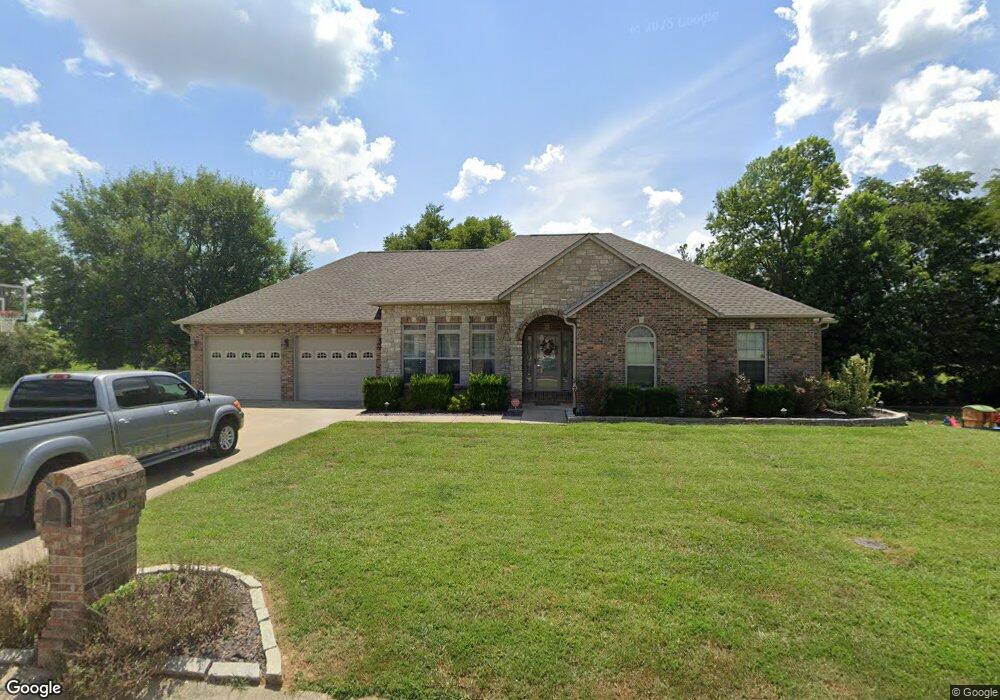
490 Briar Crest Dr Jackson, MO 63755
Estimated Value: $321,000 - $344,868
3
Beds
2
Baths
1,650
Sq Ft
$203/Sq Ft
Est. Value
About This Home
This home is located at 490 Briar Crest Dr, Jackson, MO 63755 and is currently estimated at $335,467, approximately $203 per square foot. 490 Briar Crest Dr is a home located in Cape Girardeau County with nearby schools including Russell Hawkins Junior High School, Jackson Senior High School, and St. Paul Lutheran School.
Ownership History
Date
Name
Owned For
Owner Type
Purchase Details
Closed on
Sep 20, 2011
Sold by
Oak Creek Properties Llc
Bought by
Vonnida Raine and Vonnida Erin M
Current Estimated Value
Home Financials for this Owner
Home Financials are based on the most recent Mortgage that was taken out on this home.
Original Mortgage
$214,515
Outstanding Balance
$147,459
Interest Rate
4.34%
Mortgage Type
New Conventional
Estimated Equity
$188,008
Create a Home Valuation Report for This Property
The Home Valuation Report is an in-depth analysis detailing your home's value as well as a comparison with similar homes in the area
Home Values in the Area
Average Home Value in this Area
Purchase History
| Date | Buyer | Sale Price | Title Company |
|---|---|---|---|
| Vonnida Raine | -- | None Available |
Source: Public Records
Mortgage History
| Date | Status | Borrower | Loan Amount |
|---|---|---|---|
| Open | Vonnida Raine | $214,515 |
Source: Public Records
Tax History
| Year | Tax Paid | Tax Assessment Tax Assessment Total Assessment is a certain percentage of the fair market value that is determined by local assessors to be the total taxable value of land and additions on the property. | Land | Improvement |
|---|---|---|---|---|
| 2025 | $2,206 | $47,530 | $7,790 | $39,740 |
| 2024 | $21 | $45,270 | $7,420 | $37,850 |
| 2023 | $2,098 | $45,270 | $7,420 | $37,850 |
| 2022 | $1,924 | $41,720 | $6,840 | $34,880 |
| 2021 | $1,925 | $41,720 | $6,840 | $34,880 |
| 2020 | $1,932 | $41,720 | $6,840 | $34,880 |
| 2019 | $1,887 | $41,720 | $0 | $0 |
| 2018 | $1,883 | $41,720 | $0 | $0 |
| 2017 | $1,889 | $41,720 | $0 | $0 |
| 2016 | $1,867 | $41,300 | $0 | $0 |
| 2015 | $1,869 | $41,300 | $0 | $0 |
| 2014 | $1,874 | $41,150 | $0 | $0 |
Source: Public Records
Map
Nearby Homes
- 489 Northview Estates Dr
- 420 Pioneer Orchard Rd
- 2264 Oak St
- 2423 Oak St
- 2445 York Dr
- 864 Strawberry Ln
- 0 Highway 72
- State Highway 72 Lot 3
- State Highway 72 Lot 2
- State Highway 72 Lot 1
- 1010 W Main St
- 1250 Indian Pkwy
- 614 Parkview St
- 1559 Enterprise Ct
- 778 W Deerwood Dr
- 1718 Columbia Dr
- 2496 Prairie View Trail
- 1686 Columbia Dr
- 5360 Hubble Cove
- 155 Glen Oak Dr
- 470 Briar Crest Dr
- 489 Briar Crest Dr
- 516 Briar Crest Dr
- 515 Briar Crest Dr
- 450 Briar Crest Dr
- 241 Keystone Dr
- 225 Keystone Dr
- 195 Keystone Dr
- 430 Briar Crest Dr
- 181 Keystone Dr
- 240 Keystone Dr
- 220 Keystone Dr
- 410 Briar Crest Dr
- 260 Keystone Dr
- 200 Keystone Dr
- 275 Keystone Dr
- 390 Briar Crest Dr
- 385 Spring Hill Rd
- 405 Spring Hill Rd
- 170 Keystone Dr
Your Personal Tour Guide
Ask me questions while you tour the home.