Estimated Value: $518,689 - $559,000
5
Beds
3
Baths
3,892
Sq Ft
$140/Sq Ft
Est. Value
About This Home
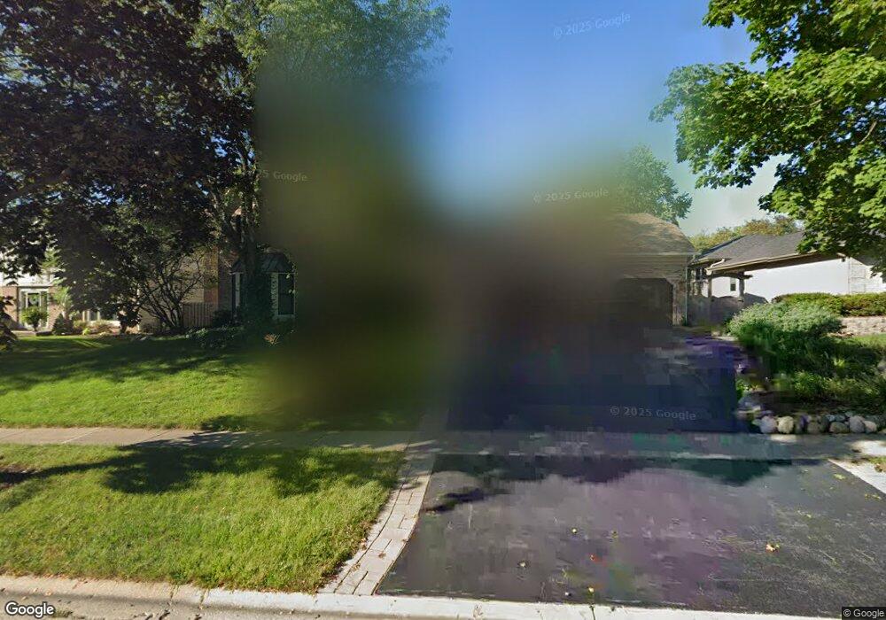
This home is located at 490 Bristol Way, Cary, IL 60013 and is currently estimated at $543,672, approximately $139 per square foot. 490 Bristol Way is a home located in McHenry County with nearby schools including Three Oaks Elementary School, Cary Jr High School, and Cary Grove High School.
Ownership History
Date
Name
Owned For
Owner Type
Purchase Details
Closed on
Mar 5, 2021
Sold by
Johnson Lori and Johnson Mark
Bought by
Johnson Lori M and 490 Trusts
Current Estimated Value
Purchase Details
Closed on
Jul 21, 2017
Sold by
Jaeschke Frank E and Jaeschke Sandra J
Bought by
Johnson Lori
Home Financials for this Owner
Home Financials are based on the most recent Mortgage that was taken out on this home.
Original Mortgage
$313,966
Outstanding Balance
$267,576
Interest Rate
4.87%
Mortgage Type
New Conventional
Estimated Equity
$276,096
Create a Home Valuation Report for This Property
The Home Valuation Report is an in-depth analysis detailing your home's value as well as a comparison with similar homes in the area
Home Values in the Area
Average Home Value in this Area
Purchase History
| Date | Buyer | Sale Price | Title Company |
|---|---|---|---|
| Johnson Lori M | -- | None Available | |
| Johnson Lori | $330,500 | Heritage Title Co |
Source: Public Records
Mortgage History
| Date | Status | Borrower | Loan Amount |
|---|---|---|---|
| Open | Johnson Lori | $313,966 |
Source: Public Records
Tax History Compared to Growth
Tax History
| Year | Tax Paid | Tax Assessment Tax Assessment Total Assessment is a certain percentage of the fair market value that is determined by local assessors to be the total taxable value of land and additions on the property. | Land | Improvement |
|---|---|---|---|---|
| 2024 | $11,770 | $139,765 | $21,937 | $117,828 |
| 2023 | $11,571 | $125,002 | $19,620 | $105,382 |
| 2022 | $11,752 | $125,509 | $31,625 | $93,884 |
| 2021 | $10,673 | $116,926 | $29,462 | $87,464 |
| 2020 | $10,361 | $112,787 | $28,419 | $84,368 |
| 2019 | $10,162 | $107,950 | $27,200 | $80,750 |
| 2018 | $9,589 | $99,723 | $25,127 | $74,596 |
| 2017 | $9,412 | $93,945 | $23,671 | $70,274 |
| 2016 | $9,349 | $88,112 | $22,201 | $65,911 |
| 2013 | -- | $93,736 | $20,711 | $73,025 |
Source: Public Records
Map
Nearby Homes
- 1055 White Pine Dr
- 406 Catkins Way
- 312 Wooded Knoll Dr
- 0000 Newbold Rd
- 326 Alicia Dr
- 305 Bell Dr
- 902 Spring Beach Way
- 305 Pearl St
- 515 Crest Dr
- 1712 Squirrel Trail
- 1107 Spring Beach Way
- 380 Merion Dr
- 0 Three Oaks Dr Unit MRD12417647
- LOT 02 Three Oaks Rd
- 50 Erin Dr
- 129 Weaver Dr
- 503 N River Rd
- 124 E Main St Unit 2-3
- 26 Wagner Dr
- 215 S Northwest Hwy
- 496 Bristol Way Unit 2
- 486 Bristol Way
- 815 Wildrose Dr
- 825 Wildrose Dr
- 491 Bristol Way
- 485 Bristol Way
- 495 Bristol Way
- 800 S Rawson Bridge Rd
- 835 Wildrose Dr
- 481 Bristol Way
- 800 Wildrose Dr
- 840 S Rawson Bridge Rd
- 810 Wildrose Dr Unit 2
- 820 Wildrose Dr
- 475 Bristol Way
- 830 Wildrose Dr
- 470 Bristol Way
- 860 S Rawson Bridge Rd
- 839 Wildrose Dr
- 471 Bristol Way