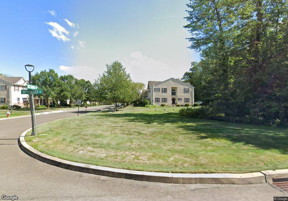
490 Buchanan Rd Perkasie, PA 18944
Estimated Value: $390,000 - $462,000
3
Beds
3
Baths
1,896
Sq Ft
$219/Sq Ft
Est. Value
About This Home
This home is located at 490 Buchanan Rd, Perkasie, PA 18944 and is currently estimated at $414,903, approximately $218 per square foot. 490 Buchanan Rd is a home located in Bucks County with nearby schools including Pennridge High School.
Ownership History
Date
Name
Owned For
Owner Type
Purchase Details
Closed on
Jun 28, 2010
Sold by
Buccafuri Anthony
Bought by
Thompson Joseph R
Current Estimated Value
Home Financials for this Owner
Home Financials are based on the most recent Mortgage that was taken out on this home.
Original Mortgage
$201,289
Outstanding Balance
$136,314
Interest Rate
5.5%
Mortgage Type
FHA
Estimated Equity
$278,589
Purchase Details
Closed on
Jan 30, 2006
Sold by
T H Properties
Bought by
Buccafuri Anthony
Home Financials for this Owner
Home Financials are based on the most recent Mortgage that was taken out on this home.
Original Mortgage
$41,590
Interest Rate
6.27%
Mortgage Type
Stand Alone Second
Create a Home Valuation Report for This Property
The Home Valuation Report is an in-depth analysis detailing your home's value as well as a comparison with similar homes in the area
Home Values in the Area
Average Home Value in this Area
Purchase History
| Date | Buyer | Sale Price | Title Company |
|---|---|---|---|
| Thompson Joseph R | $204,000 | First American Title Ins Co | |
| Buccafuri Anthony | $276,990 | First American Title Ins Co |
Source: Public Records
Mortgage History
| Date | Status | Borrower | Loan Amount |
|---|---|---|---|
| Open | Thompson Joseph R | $201,289 | |
| Previous Owner | Buccafuri Anthony | $41,590 | |
| Previous Owner | Buccafuri Anthony | $221,550 |
Source: Public Records
Tax History
| Year | Tax Paid | Tax Assessment Tax Assessment Total Assessment is a certain percentage of the fair market value that is determined by local assessors to be the total taxable value of land and additions on the property. | Land | Improvement |
|---|---|---|---|---|
| 2025 | $4,367 | $25,660 | $2,400 | $23,260 |
| 2024 | $4,367 | $25,660 | $2,400 | $23,260 |
| 2023 | $4,316 | $25,660 | $2,400 | $23,260 |
| 2022 | $4,316 | $25,660 | $2,400 | $23,260 |
| 2021 | $4,316 | $25,660 | $2,400 | $23,260 |
| 2020 | $4,316 | $25,660 | $2,400 | $23,260 |
| 2019 | $4,291 | $25,660 | $2,400 | $23,260 |
| 2018 | $4,291 | $25,660 | $2,400 | $23,260 |
| 2017 | $4,258 | $25,660 | $2,400 | $23,260 |
| 2016 | $4,258 | $25,660 | $2,400 | $23,260 |
| 2015 | -- | $25,660 | $2,400 | $23,260 |
| 2014 | -- | $25,660 | $2,400 | $23,260 |
Source: Public Records
Map
Nearby Homes
- 493 Buchanan Rd
- 310 Katie Ln
- 314 Katie Ln
- 291 Elephant Rd
- 169 Marlyn Ln
- 104 Wigton Cir
- 172 Station Dr
- 17 Ruhl Dr
- 222 Center Dr
- 118 Bishop Way
- lot 11 Schadle Rd
- 316 Schadle Rd
- Lot 14 Schadle Rd
- Lot 9 Schadle Rd
- Lot 10 Schadle Rd
- 1412 Route 113
- 1167 Dublin Pike
- 126 Olde Pilgrim Rd
- 109 Parkside Dr
- 65 Williams Dr
- 492 Buchanan Rd
- 488 Buchanan Rd
- 494 Buchanan Rd
- 486 Buchanan Rd
- 496 Buchanan Rd
- 484 Buchanan Rd
- 498 Buchanan Rd
- 482 Buchanan Rd
- 500 Buchanan Rd
- 480 Buchanan Rd
- 489 Buchanan Rd
- 491 Buchanan Rd
- 487 Buchanan Rd
- 478 Buchanan Rd
- 495 Buchanan Rd
- 485 Buchanan Rd
- 497 Buchanan Rd
- 476 Buchanan Rd
- 499 Buchanan Rd
- 481 Buchanan Rd
Your Personal Tour Guide
Ask me questions while you tour the home.