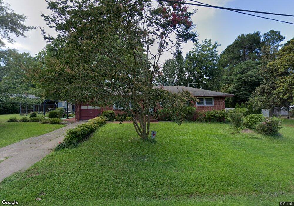
490 Burnham Rd Williamsburg, VA 23185
York Terrace NeighborhoodEstimated Value: $299,000 - $344,000
3
Beds
2
Baths
1,173
Sq Ft
$270/Sq Ft
Est. Value
About This Home
This home is located at 490 Burnham Rd, Williamsburg, VA 23185 and is currently estimated at $316,610, approximately $269 per square foot. 490 Burnham Rd is a home located in York County with nearby schools including Magruder Elementary School, Queens Lake Middle School, and Bruton High School.
Ownership History
Date
Name
Owned For
Owner Type
Purchase Details
Closed on
Oct 12, 2000
Sold by
Laney Mark E
Bought by
Laney Giles E
Current Estimated Value
Home Financials for this Owner
Home Financials are based on the most recent Mortgage that was taken out on this home.
Original Mortgage
$59,500
Outstanding Balance
$21,559
Interest Rate
7.83%
Estimated Equity
$295,051
Purchase Details
Closed on
Aug 23, 2000
Sold by
Minier Townsend Roy
Bought by
Laney Marke
Home Financials for this Owner
Home Financials are based on the most recent Mortgage that was taken out on this home.
Original Mortgage
$59,500
Outstanding Balance
$21,559
Interest Rate
7.83%
Estimated Equity
$295,051
Create a Home Valuation Report for This Property
The Home Valuation Report is an in-depth analysis detailing your home's value as well as a comparison with similar homes in the area
Home Values in the Area
Average Home Value in this Area
Purchase History
| Date | Buyer | Sale Price | Title Company |
|---|---|---|---|
| Laney Giles E | $85,000 | -- | |
| Laney Marke | $71,500 | -- |
Source: Public Records
Mortgage History
| Date | Status | Borrower | Loan Amount |
|---|---|---|---|
| Open | Laney Giles E | $59,500 | |
| Previous Owner | Laney Marke | $64,350 |
Source: Public Records
Tax History
| Year | Tax Paid | Tax Assessment Tax Assessment Total Assessment is a certain percentage of the fair market value that is determined by local assessors to be the total taxable value of land and additions on the property. | Land | Improvement |
|---|---|---|---|---|
| 2025 | $1,999 | $270,200 | $86,200 | $184,000 |
| 2024 | $1,999 | $270,200 | $86,200 | $184,000 |
| 2023 | $1,479 | $192,100 | $85,000 | $107,100 |
| 2022 | $1,498 | $192,100 | $85,000 | $107,100 |
| 2021 | $1,309 | $164,600 | $84,000 | $80,600 |
| 2020 | $1,309 | $164,600 | $84,000 | $80,600 |
| 2019 | $1,831 | $160,600 | $80,000 | $80,600 |
| 2018 | $1,831 | $160,600 | $80,000 | $80,600 |
| 2017 | $1,207 | $160,600 | $80,000 | $80,600 |
| 2016 | -- | $160,600 | $80,000 | $80,600 |
| 2015 | -- | $160,600 | $80,000 | $80,600 |
| 2014 | -- | $160,600 | $80,000 | $80,600 |
Source: Public Records
Map
Nearby Homes
- 593 Catesby Ln
- 205 Lewis Burwell Place
- 220 Lewis Burwell Place
- 108 Wickre St
- 441 Merrimac Trail
- 417 Lewis Burwell Place
- 503 Capitol Ct
- 608 Musket Dr
- 897 Tyler Dr
- 376 Merrimac Trail
- 376 Merrimac Trail Unit 124
- 376 Merrimac Trail Unit 421
- 485 Zelkova Rd
- 708 Monumental Ave
- 706 Maupin Place
- 105 Rusty Ct
- 915 Jackson Dr
- 113 Washington St
- 101 Boulder Way
- 112 Queen Anne Dr
Your Personal Tour Guide
Ask me questions while you tour the home.