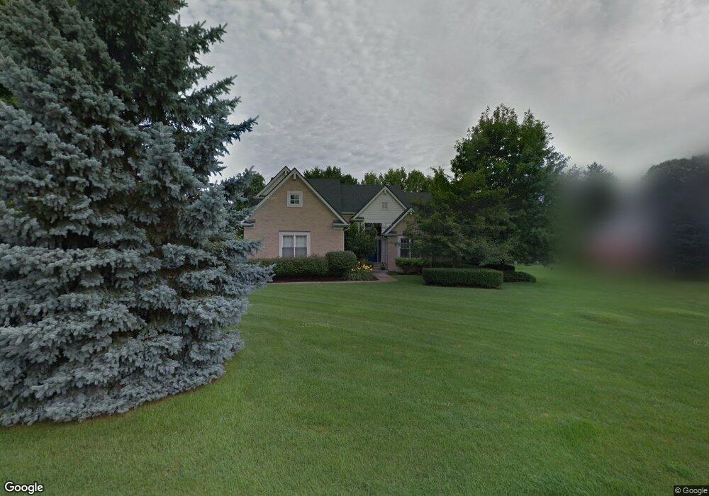
490 Carnoustie Unit 202 Highland, MI 48357
Estimated Value: $577,000 - $658,000
3
Beds
3
Baths
2,633
Sq Ft
$228/Sq Ft
Est. Value
About This Home
This home is located at 490 Carnoustie Unit 202, Highland, MI 48357 and is currently estimated at $600,961, approximately $228 per square foot. 490 Carnoustie Unit 202 is a home located in Oakland County with nearby schools including Heritage Elementary School, Muir Middle School, and Christ Lutheran Christian Day School.
Ownership History
Date
Name
Owned For
Owner Type
Purchase Details
Closed on
Jul 29, 2008
Sold by
Langley Nadine M
Bought by
Trame Paul J
Current Estimated Value
Home Financials for this Owner
Home Financials are based on the most recent Mortgage that was taken out on this home.
Original Mortgage
$270,751
Outstanding Balance
$178,224
Interest Rate
6.39%
Mortgage Type
FHA
Estimated Equity
$422,737
Purchase Details
Closed on
Oct 8, 2004
Sold by
Ivanhoe Huntley Prestwick Builders Llc
Bought by
Langley Nadine M
Home Financials for this Owner
Home Financials are based on the most recent Mortgage that was taken out on this home.
Original Mortgage
$187,500
Interest Rate
5.93%
Mortgage Type
Purchase Money Mortgage
Create a Home Valuation Report for This Property
The Home Valuation Report is an in-depth analysis detailing your home's value as well as a comparison with similar homes in the area
Home Values in the Area
Average Home Value in this Area
Purchase History
| Date | Buyer | Sale Price | Title Company |
|---|---|---|---|
| Trame Paul J | $275,000 | Interstate Title Inc | |
| Langley Nadine M | -- | Philip R Seaver Title Co Inc |
Source: Public Records
Mortgage History
| Date | Status | Borrower | Loan Amount |
|---|---|---|---|
| Open | Trame Paul J | $270,751 | |
| Previous Owner | Langley Nadine M | $187,500 |
Source: Public Records
Tax History Compared to Growth
Tax History
| Year | Tax Paid | Tax Assessment Tax Assessment Total Assessment is a certain percentage of the fair market value that is determined by local assessors to be the total taxable value of land and additions on the property. | Land | Improvement |
|---|---|---|---|---|
| 2024 | $3,194 | $238,880 | $0 | $0 |
| 2023 | $3,047 | $215,680 | $0 | $0 |
| 2022 | $4,300 | $193,340 | $0 | $0 |
| 2021 | $4,071 | $176,400 | $0 | $0 |
| 2020 | $2,790 | $174,040 | $0 | $0 |
| 2019 | $3,960 | $163,630 | $0 | $0 |
| 2018 | $3,880 | $157,610 | $0 | $0 |
| 2017 | $3,720 | $157,610 | $0 | $0 |
| 2016 | $3,689 | $156,090 | $0 | $0 |
| 2015 | -- | $146,570 | $0 | $0 |
| 2014 | -- | $126,450 | $0 | $0 |
| 2011 | -- | $105,170 | $0 | $0 |
Source: Public Records
Map
Nearby Homes
- 688 Perthshire Ct
- 489 Gleneagles
- 398 Delmar Ct
- 446 Delmar Ct
- 1156 Alissa Marie Dr Unit 6
- 53 Ash Ave Unit 53
- 265 E Livingston Rd
- 173 Birch Unit 173
- 1449 Gleneagles Unit 257
- 246 Spruce Unit 246
- 248 Spruce Unit 248
- 1570 Lone Tree Rd
- 1569 Gleneagles
- 1665 Gleneagles
- 1713 Gleneagles Unit 268
- 1039 Troon
- 83 Elm
- 33 Pine Unit 33
- 431 Timber Ridge Dr Unit 10
- 2358 Canterwood
- 464 Carnoustie
- 574 Carnoustie Unit 201
- 489 Carnoustie
- 442 Carnoustie Unit 204
- 538 Carnoustie Unit 200
- 465 Carnoustie
- 513 Carnoustie
- 441 Carnoustie
- 717 Helen
- 418 Carnoustie Unit 205
- 537 Carnoustie
- 417 Carnoustie
- 837 Helen
- 825 Helen
- 855 Helen
- 394 Carnoustie
- 719 Helen
- 701 Helen
- 393 Carnoustie Unit 193
- 651 Helen