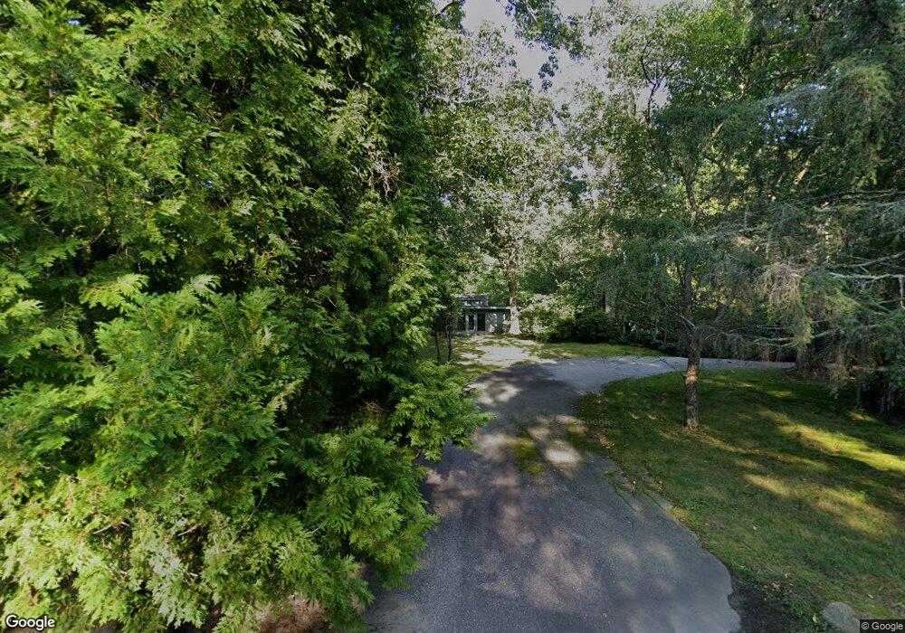
490 Carrs Pond Rd East Greenwich, RI 02818
Tillinghast NeighborhoodEstimated Value: $904,000 - $1,179,000
3
Beds
4
Baths
3,539
Sq Ft
$303/Sq Ft
Est. Value
About This Home
This home is located at 490 Carrs Pond Rd, East Greenwich, RI 02818 and is currently estimated at $1,070,866, approximately $302 per square foot. 490 Carrs Pond Rd is a home located in Kent County with nearby schools including Frenchtown Elementary School, James H. Eldredge Elementary School, and East Greenwich High School.
Ownership History
Date
Name
Owned For
Owner Type
Purchase Details
Closed on
Nov 13, 2018
Sold by
Stouffer Ft
Bought by
Stouffer Douglas S
Current Estimated Value
Purchase Details
Closed on
Feb 3, 2003
Sold by
Tufts Donald W
Bought by
Stouffer John H and Stouffer Caroline J
Create a Home Valuation Report for This Property
The Home Valuation Report is an in-depth analysis detailing your home's value as well as a comparison with similar homes in the area
Home Values in the Area
Average Home Value in this Area
Purchase History
| Date | Buyer | Sale Price | Title Company |
|---|---|---|---|
| Stouffer Douglas S | -- | -- | |
| Stouffer John H | $409,000 | -- |
Source: Public Records
Mortgage History
| Date | Status | Borrower | Loan Amount |
|---|---|---|---|
| Previous Owner | Stouffer John H | $55,000 | |
| Previous Owner | Stouffer John H | $95,000 |
Source: Public Records
Tax History Compared to Growth
Tax History
| Year | Tax Paid | Tax Assessment Tax Assessment Total Assessment is a certain percentage of the fair market value that is determined by local assessors to be the total taxable value of land and additions on the property. | Land | Improvement |
|---|---|---|---|---|
| 2025 | $13,132 | $843,400 | $290,400 | $553,000 |
| 2024 | $12,423 | $843,400 | $290,400 | $553,000 |
| 2023 | $12,350 | $565,200 | $241,900 | $323,300 |
| 2022 | $12,107 | $565,200 | $241,900 | $323,300 |
| 2021 | $11,875 | $565,200 | $241,900 | $323,300 |
| 2020 | $11,490 | $490,400 | $211,500 | $278,900 |
| 2019 | $11,382 | $490,400 | $211,500 | $278,900 |
| 2018 | $11,279 | $490,400 | $211,500 | $278,900 |
| 2017 | $10,011 | $423,100 | $225,500 | $197,600 |
| 2016 | $10,192 | $423,100 | $225,500 | $197,600 |
Source: Public Records
Map
Nearby Homes
- 50 Carrs Pond Rd
- 10 Mcpartland Way
- 20 Mcpartland Way
- 25 Westfield Dr
- 13 Pine Grove Ln
- 2500 Division Rd
- 11 Cedar Ridge Ln
- 21 Cedar Ridge Ln
- 60 Pheasant Dr
- 50 Pheasant Dr
- 69 Bates Trail
- 19 Hampton Rd Unit 69
- 32 Wescott Way Unit 53
- 40 Wescott Way Unit 57
- 15 Hampton Rd Unit 20
- 35 Beech Crest Rd
- 1 Hampton Rd Unit 27
- 85 Sheep Farm Dr
- 1901 Village Green Cir
- 12 Longbow Dr
- 470 Carrs Pond Rd
- 500 Carrs Pond Rd
- 456 Carrs Pond Rd
- 240 Carrs Pond Rd
- 2359 Middle Rd
- 2323 Middle Rd
- 2380 Middle Rd
- 333 Moosehorn Rd
- 2360 Middle Rd
- 2340 Middle Rd
- 520 Carrs Pond Rd
- 355 Moosehorn Rd
- 255 Moosehorn Rd
- 365 Moosehorn Rd
- 335 Moosehorn Rd
- 2320 Middle Rd
- 540 Carrs Pond Rd
- 37 Clubhouse
- 126 Carrs Pond Rd
- 385 Moosehorn Rd