Estimated Value: $436,000 - $664,000
3
Beds
2
Baths
3,012
Sq Ft
$170/Sq Ft
Est. Value
About This Home
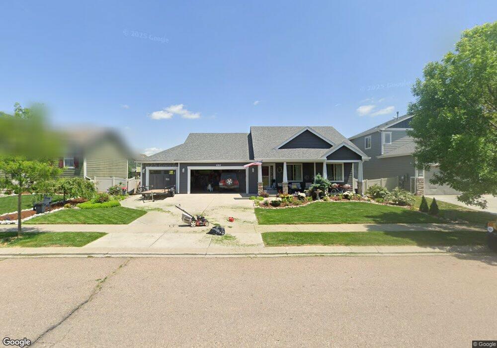
This home is located at 490 Conestoga Dr, Ault, CO 80610 and is currently estimated at $511,357, approximately $169 per square foot. 490 Conestoga Dr is a home located in Weld County with nearby schools including Highland Elementary School, Highland Middle School, and Highland High School.
Ownership History
Date
Name
Owned For
Owner Type
Purchase Details
Closed on
Aug 4, 2010
Sold by
Roberts Gregg W
Bought by
Roberts Rebecca R
Current Estimated Value
Home Financials for this Owner
Home Financials are based on the most recent Mortgage that was taken out on this home.
Original Mortgage
$223,314
Outstanding Balance
$147,632
Interest Rate
4.54%
Mortgage Type
FHA
Estimated Equity
$363,725
Purchase Details
Closed on
Aug 8, 2008
Sold by
Payant Homes Llc
Bought by
Roberts Gregg W and Roberts Rebecca R
Home Financials for this Owner
Home Financials are based on the most recent Mortgage that was taken out on this home.
Original Mortgage
$216,900
Interest Rate
6.38%
Mortgage Type
Unknown
Purchase Details
Closed on
Mar 27, 2007
Sold by
Conestoga Development Llc
Bought by
Payant Homes Llc
Create a Home Valuation Report for This Property
The Home Valuation Report is an in-depth analysis detailing your home's value as well as a comparison with similar homes in the area
Purchase History
| Date | Buyer | Sale Price | Title Company |
|---|---|---|---|
| Roberts Rebecca R | -- | Unified Title Company | |
| Roberts Gregg W | $241,000 | None Available | |
| Payant Homes Llc | -- | None Available |
Source: Public Records
Mortgage History
| Date | Status | Borrower | Loan Amount |
|---|---|---|---|
| Open | Roberts Rebecca R | $223,314 | |
| Closed | Roberts Gregg W | $216,900 |
Source: Public Records
Tax History
| Year | Tax Paid | Tax Assessment Tax Assessment Total Assessment is a certain percentage of the fair market value that is determined by local assessors to be the total taxable value of land and additions on the property. | Land | Improvement |
|---|---|---|---|---|
| 2025 | $1,977 | $30,040 | $4,310 | $25,730 |
| 2024 | $1,977 | $30,040 | $4,310 | $25,730 |
| 2023 | $1,611 | $30,680 | $5,070 | $25,610 |
| 2022 | $1,544 | $24,550 | $4,310 | $20,240 |
| 2021 | $1,627 | $25,260 | $4,430 | $20,830 |
| 2020 | $1,660 | $25,890 | $4,080 | $21,810 |
| 2019 | $1,751 | $25,890 | $4,080 | $21,810 |
| 2018 | $1,471 | $21,430 | $3,020 | $18,410 |
| 2017 | $1,474 | $21,430 | $3,020 | $18,410 |
| 2016 | $1,566 | $23,230 | $2,590 | $20,640 |
| 2015 | $1,571 | $23,230 | $2,590 | $20,640 |
| 2014 | $1,342 | $19,870 | $3,580 | $16,290 |
Source: Public Records
Map
Nearby Homes
- 390 Cherokee Trail
- 640 Cimarron Trail
- 603 Apex Trail
- 441 Gila Trail
- 294 Gila Trail
- 374 Pony Express Trail
- 639 Woods Ave
- 710 Oregon Trail Unit C4
- 710 Oregon Trail Unit D3
- 16627 Highway 14 Unit 3
- 112 2nd St
- 211 Linden Oaks Dr
- 226 1st St
- 304 S 1st Ave
- 106 Linden Oaks Dr
- 301 E 1st St
- 0 County Road 37
- 40510 County Road 29
- 1215 5th St
- 38662 County Road 29
- 500 Conestoga Dr
- 480 Conestoga Dr
- 495 Cimarron Dr
- 501 Cimarron Dr
- 510 Conestoga Dr
- 485 Cimarron Dr
- 515 Cimarron Dr
- 520 Conestoga Dr
- 525 Cimarron Dr
- 480 Cimarron Dr
- 0 Cimarron Dr Unit 869366
- 0 Cimarron Dr Unit 4128578
- 0 Cimarron Dr Unit 669726
- 0 Cimarron Dr Unit 669727
- 0 Cimarron Dr Unit 669728
- 0 Cimarron Dr Unit 669725
- 0 Cimarron Dr Unit 669721
- 0 Cimarron Dr Unit 669724
- 0 Cimarron Dr Unit 669722
- 0 Cimarron Dr Unit 669751
Your Personal Tour Guide
Ask me questions while you tour the home.