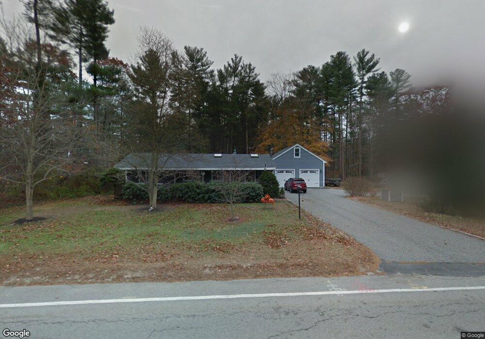
490 County Rd Hanson, MA 02341
Estimated Value: $560,000 - $742,000
2
Beds
2
Baths
1,837
Sq Ft
$358/Sq Ft
Est. Value
About This Home
This home is located at 490 County Rd, Hanson, MA 02341 and is currently estimated at $658,521, approximately $358 per square foot. 490 County Rd is a home located in Plymouth County.
Ownership History
Date
Name
Owned For
Owner Type
Purchase Details
Closed on
Aug 15, 2013
Sold by
Barrows Gay
Bought by
Farrell Karin M and Farrell Brian W
Current Estimated Value
Purchase Details
Closed on
Sep 22, 2006
Sold by
Barrows Robert C
Bought by
Barrows Robert and Barrows Gay
Home Financials for this Owner
Home Financials are based on the most recent Mortgage that was taken out on this home.
Original Mortgage
$200,000
Interest Rate
6.79%
Create a Home Valuation Report for This Property
The Home Valuation Report is an in-depth analysis detailing your home's value as well as a comparison with similar homes in the area
Home Values in the Area
Average Home Value in this Area
Purchase History
| Date | Buyer | Sale Price | Title Company |
|---|---|---|---|
| Farrell Karin M | -- | -- | |
| Barrows Robert | -- | -- |
Source: Public Records
Mortgage History
| Date | Status | Borrower | Loan Amount |
|---|---|---|---|
| Previous Owner | Barrows Robert | $245,000 | |
| Previous Owner | Barrows Robert | $200,000 | |
| Previous Owner | Barrows Robert | $150,000 |
Source: Public Records
Tax History
| Year | Tax Paid | Tax Assessment Tax Assessment Total Assessment is a certain percentage of the fair market value that is determined by local assessors to be the total taxable value of land and additions on the property. | Land | Improvement |
|---|---|---|---|---|
| 2025 | $8,603 | $643,000 | $165,800 | $477,200 |
| 2024 | $8,356 | $624,500 | $161,000 | $463,500 |
| 2023 | $8,076 | $569,500 | $161,000 | $408,500 |
| 2022 | $7,815 | $517,900 | $146,300 | $371,600 |
| 2021 | $6,864 | $454,600 | $140,700 | $313,900 |
| 2020 | $6,763 | $442,900 | $135,900 | $307,000 |
| 2019 | $6,412 | $412,900 | $133,300 | $279,600 |
| 2018 | $6,289 | $397,300 | $128,200 | $269,100 |
| 2017 | $3,549 | $222,100 | $122,100 | $100,000 |
| 2016 | $4,194 | $253,400 | $122,100 | $131,300 |
| 2015 | $3,964 | $249,000 | $122,100 | $126,900 |
Source: Public Records
Map
Nearby Homes
- Lot 6 Way
- Lot 2 Harvard Rd
- 361 County Rd
- 361A County Rd
- 161 Winter St Unit 11
- 84 Liberty St
- Lot 5 Princeton Way
- 61 Sawmill Ln
- 61 Sawmill Ln Unit 61
- 134 Crescent St
- 724 Whitman St
- 80 Phillips St
- 139 Fairwood Dr
- 72 Phillips St
- 430 Brook Bend Rd
- 269 Lakeside Rd
- 1054 Main St
- 23 Live Oak Way
- 22 Howland Trail Unit 34
- 108 Waterford Dr
- 499 County Rd
- 71 Bayberry Rd
- 476 County Rd
- 57 Bayberry Rd
- 464 County Rd
- 72 Bayberry Rd
- 484 County Rd
- 41 Bayberry Rd
- 54 Bayberry Rd
- 454 County Rd
- 519 County Rd
- 465 County Rd
- 34 Bayberry Rd
- 0 County Rd (Rear) Unit 72082807
- 532 County Rd
- 539 County Rd
- 449 County Rd
- 461 County Rd
- 542 County Rd
- 422 County Rd
Your Personal Tour Guide
Ask me questions while you tour the home.