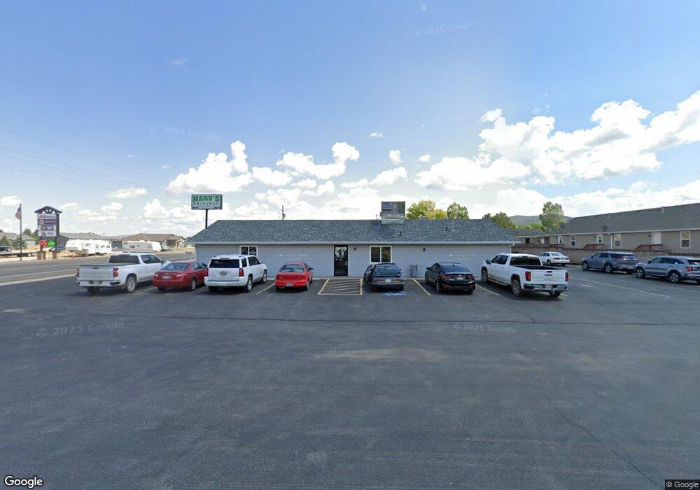
490 E Main St Enterprise, UT 84725
Studio
--
Bath
2,392
Sq Ft
30,492
Sq Ft Lot
About This Home
This home is located at 490 E Main St, Enterprise, UT 84725. 490 E Main St is a home located in Washington County with nearby schools including Enterprise School and Enterprise High School.
Ownership History
Date
Name
Owned For
Owner Type
Purchase Details
Closed on
Jan 30, 2026
Sold by
Hall Marvin Russell and Hall Raelene
Bought by
Holt Joseph W
Purchase Details
Closed on
Oct 13, 2022
Sold by
Hall Marvin and Hall Raelene
Bought by
Marver Sisters Trust
Purchase Details
Closed on
Sep 19, 2022
Sold by
Hall and Raelene
Bought by
Marver Sisters Trust
Purchase Details
Closed on
Sep 9, 2022
Sold by
Hall Marvin R and Hall Raelene
Bought by
Marver Sisters Trust
Purchase Details
Closed on
Jul 26, 2006
Sold by
Wilson Verla
Bought by
Hall Marvin R and Hall Marvin
Create a Home Valuation Report for This Property
The Home Valuation Report is an in-depth analysis detailing your home's value as well as a comparison with similar homes in the area
Purchase History
| Date | Buyer | Sale Price | Title Company |
|---|---|---|---|
| Holt Joseph W | -- | Eagle Gate Title Insurance Agc | |
| Marver Sisters Trust | -- | -- | |
| Marver Sisters Trust | -- | -- | |
| Marver Sisters Trust | -- | -- | |
| Hall Marvin R | -- | Accommodation Only |
Source: Public Records
Tax History
| Year | Tax Paid | Tax Assessment Tax Assessment Total Assessment is a certain percentage of the fair market value that is determined by local assessors to be the total taxable value of land and additions on the property. | Land | Improvement |
|---|---|---|---|---|
| 2025 | $1,410 | $201,400 | $83,900 | $117,500 |
| 2023 | $1,382 | $195,600 | $68,600 | $127,000 |
| 2022 | $1,454 | $195,800 | $68,600 | $127,200 |
| 2021 | $1,499 | $162,900 | $53,400 | $109,500 |
| 2020 | $1,631 | $166,900 | $53,400 | $113,500 |
| 2019 | $1,600 | $158,800 | $53,400 | $105,400 |
| 2018 | $1,591 | $148,400 | $0 | $0 |
| 2017 | $1,612 | $144,700 | $0 | $0 |
| 2016 | $1,655 | $137,600 | $0 | $0 |
| 2015 | $1,715 | $137,600 | $0 | $0 |
| 2014 | $1,888 | $151,500 | $0 | $0 |
Source: Public Records
Map
Nearby Homes
- 49 S 475 E Unit 6
- 400 E 100 N
- 357 E Main St
- 925 E Main St Unit lot 4
- 711 E Main St
- 925 E Main St
- 373 E 100 N
- 231 400 E
- 0 1 21 Acre Parcel #E-Cwr-2-10 Unit 110695
- 0 1 21 Acre Parcel #E-Cwr-2-10 Unit 25-259941
- 900 E Main St
- 900 E Main St Unit lot 3
- 260 E 300 S
- 0 Lot 29 Unit 25-264161
- 242 S 200 St E
- 22 Lot 22
- 762 E 300 S
- 775 E 100 N Unit 56
- 775 E 100 N Unit 48
- 950 E 100 N
- 33 S 475 E Unit s 1-5 (5-PLEX)
- 33 S 475 E Unit 1-5
- 33 S 475 E
- 20 S 550 E
- 0 Commercial Parcel #E-Mas-1-a Unit 103166
- 0 Commercial Parcel #E-Mas-1-a Unit 23-242768
- 40 S 550 E
- 30 S 475 E
- E E Main St
- 42 S 475 E
- 52 S 550 E
- Center St and 550 S
- 42 475 E
- 0 49 S 475 E Unit 6 24-249066
- 0 49 S 475 E Unit 6
- 0 1 Af of Water Right Unit 107690
- 0 1 Af of Water Right Unit 24-252747
- 11 S 550 E
- 41 S 550 E
- 58 S 475 E
Your Personal Tour Guide
Ask me questions while you tour the home.