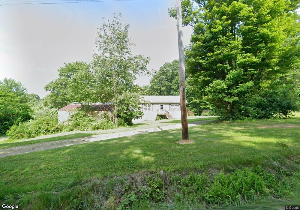
490 Flat Rock Rd Apollo, PA 15613
Estimated Value: $237,000 - $512,000
3
Beds
2
Baths
1,404
Sq Ft
$244/Sq Ft
Est. Value
About This Home
This home is located at 490 Flat Rock Rd, Apollo, PA 15613 and is currently estimated at $342,856, approximately $244 per square foot. 490 Flat Rock Rd is a home.
Ownership History
Date
Name
Owned For
Owner Type
Purchase Details
Closed on
May 12, 2010
Sold by
Ditty Richard J and Ditty Jeanie M
Bought by
Ditty Richard J and Ditty Jeanie M
Current Estimated Value
Home Financials for this Owner
Home Financials are based on the most recent Mortgage that was taken out on this home.
Original Mortgage
$136,000
Interest Rate
5.23%
Mortgage Type
Construction
Create a Home Valuation Report for This Property
The Home Valuation Report is an in-depth analysis detailing your home's value as well as a comparison with similar homes in the area
Home Values in the Area
Average Home Value in this Area
Purchase History
| Date | Buyer | Sale Price | Title Company |
|---|---|---|---|
| Ditty Richard J | -- | None Available |
Source: Public Records
Mortgage History
| Date | Status | Borrower | Loan Amount |
|---|---|---|---|
| Closed | Ditty Richard J | $136,000 |
Source: Public Records
Tax History
| Year | Tax Paid | Tax Assessment Tax Assessment Total Assessment is a certain percentage of the fair market value that is determined by local assessors to be the total taxable value of land and additions on the property. | Land | Improvement |
|---|---|---|---|---|
| 2025 | $6,586 | $68,810 | $40,110 | $28,700 |
| 2024 | $6,117 | $68,810 | $40,110 | $28,700 |
| 2023 | $5,065 | $68,810 | $40,110 | $28,700 |
| 2022 | $5,008 | $68,810 | $40,110 | $28,700 |
| 2021 | $4,922 | $68,810 | $40,110 | $28,700 |
| 2020 | $4,922 | $68,810 | $40,110 | $28,700 |
| 2019 | $4,893 | $68,810 | $40,110 | $28,700 |
| 2018 | $4,893 | $57,300 | $16,300 | $41,000 |
| 2017 | $4,865 | $68,810 | $40,110 | $28,700 |
| 2016 | $4,865 | $68,810 | $40,110 | $28,700 |
| 2015 | $4,093 | $68,810 | $40,110 | $28,700 |
| 2014 | $4,093 | $68,810 | $40,110 | $28,700 |
Source: Public Records
Map
Nearby Homes
- 28 Clark Ave
- 813 Edmon Rd
- 381 Wilson Rd
- Lot A1 Guthrie Rd
- Lot A3 Guthrie Rd
- Lot A2 Guthrie Rd
- 0 Lutheran Church Rd
- Lot 10 Beulah Church Rd
- 916 Indiana Avenue Extension
- 527 Westmoreland Ave
- 610 Westmoreland Ave
- 1239 Old State Rd
- 212 5th St
- 315 Cambria Ave
- 100 2nd St
- 28 Indiana Ave
- 604 Patterson Rd
- 501 Nowrytown Rd
- 140 High St
- 107 High St
- 000 Flat Rock Rd
- 0 Flat Rock Rd
- 000 Flat Rock Rd
- 481 Flat Rock Rd
- 541 Flat Rock Rd
- 490 Rumbaugh Rd
- 0 Flat Rock Rd
- 581 Flat Rock Rd
- 404 Rumbaugh Rd
- 1383 Martin Rd
- 1041 Blacks Hollow Rd
- 1378 Martin Rd
- 1039 Blacks Hollow Rd
- 607 Flat Rock Rd
- 616 Flat Rock Rd
- 611 Flat Rock Rd
- 1369 Martin Rd
- 375 Rumbaugh Rd
- 1347 Martin Rd
- 1356 Martin Rd
Your Personal Tour Guide
Ask me questions while you tour the home.