490 Ford Mountain Rd Unit 4A Dillard, GA 30537
Estimated Value: $606,000 - $650,000
About This Home
This home is located at 490 Ford Mountain Rd Unit 4A, Dillard, GA 30537 and is currently estimated at $628,000, approximately $174 per square foot. 490 Ford Mountain Rd Unit 4A is a home located in Rabun County with nearby schools including Rabun County Primary School and Rabun County High School.
Ownership History
We collect this data history from publicly available records. To have your information removed, we recommend requesting removal directly through your county’s website.
Purchase Details
Purchase Details
Purchase Details
Purchase Details
Purchase Details
Purchase Details
Purchase Details
Purchase Details
Home Values in the Area
Average Home Value in this Area
Purchase History
We collect this data history from publicly available records. To have your information removed, we recommend requesting removal directly through your county’s website.
| Date | Buyer | Sale Price | Title Company |
|---|---|---|---|
| $2,500 | -- | ||
| $2,500 | -- | ||
| $62,875 | -- | ||
| $62,875 | -- | ||
| -- | -- | ||
| -- | -- | ||
| $30,000 | -- | ||
| $30,000 | -- | ||
| $375,000 | -- | ||
| $375,000 | -- | ||
| -- | -- | ||
| -- | -- | ||
| -- | -- | ||
| -- | -- | ||
| -- | -- | ||
| -- | -- | ||
| $16,900 | -- | ||
| $16,900 | -- |
Tax History
We collect this data history from publicly available records. To have your information removed, we recommend requesting removal directly through your county’s website.
| Year | Tax Paid | Tax Assessment Tax Assessment Total Assessment is a certain percentage of the fair market value that is determined by local assessors to be the total taxable value of land and additions on the property. | Land | Improvement |
|---|---|---|---|---|
| 2025 | $2,693 | $174,068 | $36,000 | $138,068 |
| 2024 | $2,635 | $166,155 | $36,000 | $130,155 |
| 2023 | $2,738 | $149,612 | $36,000 | $113,612 |
| 2022 | $2,668 | $145,774 | $36,000 | $109,774 |
| 2021 | $2,543 | $135,608 | $36,000 | $99,608 |
| 2020 | $2,086 | $107,571 | $36,000 | $71,571 |
| 2019 | $2,101 | $107,571 | $36,000 | $71,571 |
| 2018 | $2,109 | $107,571 | $36,000 | $71,571 |
| 2017 | $2,022 | $107,571 | $36,000 | $71,571 |
| 2016 | $1,988 | $105,466 | $36,000 | $69,466 |
| 2015 | $2,132 | $110,728 | $46,800 | $63,928 |
| 2014 | $2,283 | $117,928 | $54,000 | $63,928 |
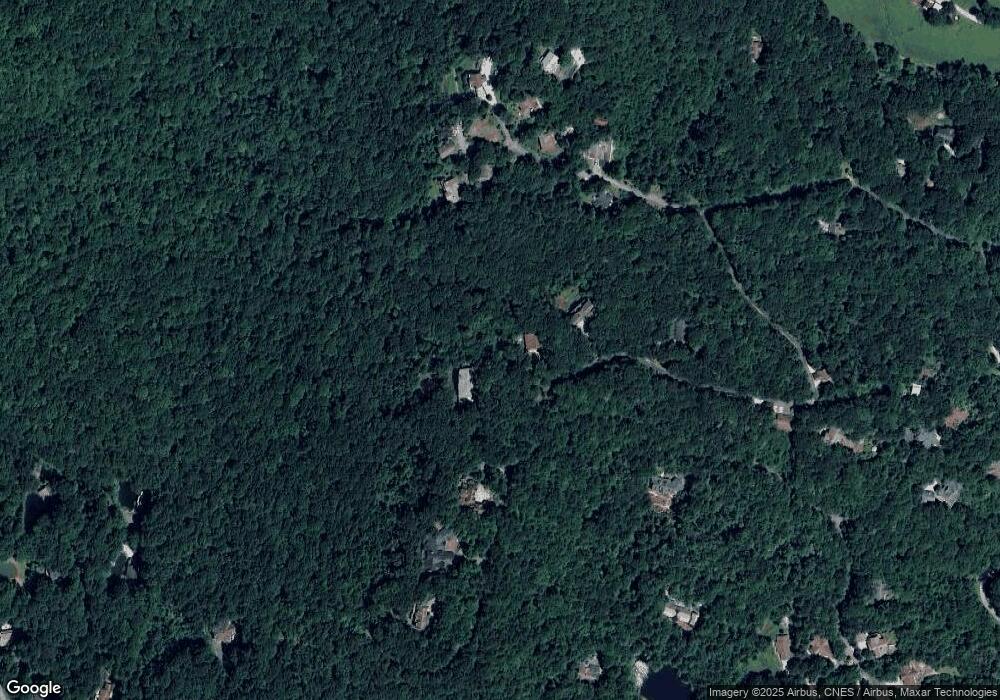
Map
- 0 Honey Bear Ln Unit 10595313
- (0) Honey Bear Ln
- 0 LOT 14 & 15 Honey Bear Ln
- 0 LOT 10 & 11 Honey Bear Ln Unit LOT 10 & 11
- 3315 Bald Mountain Rd
- 0 Bald Mountain Rd Unit 55,57
- 115 Dam Lake Dr
- 59 Dalton Dr
- 115 Broadmoor Ln
- 63 Mashie Ln
- (00)-A Thunderhead Ln
- 10384 Hale Ridge Rd
- 559 Maple Leaf Dr
- 0 Maple Leaf Unit TRACT 6 10609401
- 70 Fairway Ln
- 0 Thunderhead Ln Unit 10734276
- 0 Thunderhead Ln Unit 10732244
- 0 Driver Ln Unit 10777365
- 594 Sky High Dr
- 0 LOT 8 Bald Mountain Rd Unit LOT 8
- 112 Upper Scenic Dr
- 441 Honey Bear Ln
- 462 Ford Mountain Rd
- 430 Ford Mountain Ln
- 389 Honey Bear Ln
- 430 Ford Mountain Rd
- 220 Upper Scenic Dr
- 71 Nantahala Ln
- 65 Nantahala Ln
- 95 Upper Scenic Dr
- 398 Honey Bear
- 403 Honey Bear Ln
- 77 Nantahala Ln
- 398 Honey Bear Ln Unit 13
- 343 Ford Mountain Rd
- 0 Bear Paw Trail NW Unit J-21 3119958
- 83 Nantahala Ln
- 300 Upper Scenic Dr
- 485 Ford Mountain Ln
- N/A Ford Mountain Ln
Ask me questions while you tour the home.