490 Forrest Hills Dr Dallas, GA 30157
East Paulding County NeighborhoodEstimated Value: $370,000 - $377,000
4
Beds
3
Baths
2,518
Sq Ft
$148/Sq Ft
Est. Value
About This Home
This home is located at 490 Forrest Hills Dr, Dallas, GA 30157 and is currently estimated at $372,945, approximately $148 per square foot. 490 Forrest Hills Dr is a home located in Paulding County with nearby schools including C. A. Roberts Elementary School, East Paulding Middle School, and East Paulding High School.
Ownership History
Date
Name
Owned For
Owner Type
Purchase Details
Closed on
Jun 7, 2016
Sold by
Colfin Ai Ga 2 Llc
Bought by
Csh 2016 1 Borrower Llc
Current Estimated Value
Purchase Details
Closed on
May 27, 2014
Sold by
Access Rental Homes Llc
Bought by
Colfin Ai Ga 2 Llc
Purchase Details
Closed on
Jan 24, 2014
Sold by
Tac Lots Llc
Bought by
Access Rental Homes Llc
Create a Home Valuation Report for This Property
The Home Valuation Report is an in-depth analysis detailing your home's value as well as a comparison with similar homes in the area
Home Values in the Area
Average Home Value in this Area
Purchase History
| Date | Buyer | Sale Price | Title Company |
|---|---|---|---|
| Csh 2016 1 Borrower Llc | -- | -- | |
| Colfin Ai Ga 2 Llc | $128,705 | -- | |
| Access Rental Homes Llc | $1,579,300 | -- |
Source: Public Records
Tax History Compared to Growth
Tax History
| Year | Tax Paid | Tax Assessment Tax Assessment Total Assessment is a certain percentage of the fair market value that is determined by local assessors to be the total taxable value of land and additions on the property. | Land | Improvement |
|---|---|---|---|---|
| 2024 | $3,546 | $142,548 | $16,000 | $126,548 |
| 2023 | $3,352 | $128,584 | $16,000 | $112,584 |
| 2022 | $3,056 | $117,228 | $12,000 | $105,228 |
| 2021 | $2,615 | $89,988 | $12,000 | $77,988 |
| 2020 | $2,442 | $82,228 | $12,000 | $70,228 |
| 2019 | $2,533 | $84,072 | $12,000 | $72,072 |
| 2018 | $2,178 | $72,308 | $14,000 | $58,308 |
| 2017 | $2,007 | $65,708 | $14,000 | $51,708 |
| 2016 | $1,890 | $62,512 | $14,000 | $48,512 |
| 2015 | $1,584 | $51,984 | $14,000 | $37,984 |
| 2014 | $71 | $2,240 | $2,240 | $0 |
| 2013 | -- | $2,240 | $2,240 | $0 |
Source: Public Records
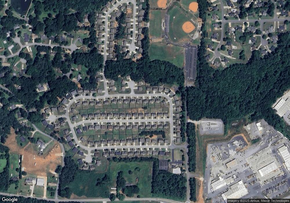
Map
Nearby Homes
- 199 Spring Forrest Ln
- 301 Cantrell Dr
- 368 Cantrell Dr
- Oconee Plan at Mount Tabor Pointe
- Tybee Plan at Mount Tabor Pointe
- Lanier Plan at Mount Tabor Pointe
- Juliette Plan at Mount Tabor Pointe
- Rabun Plan at Mount Tabor Pointe
- Davenport Plan at Mount Tabor Pointe
- 422 Cantrell Dr
- 608 Cantrell Dr
- 500 Cantrell Dr
- 568 Cantrell Dr
- 586 Cantrell Dr
- 526 Cantrell Dr
- 512 Cantrell Dr
- 460 Cantrell Dr
- 534 Cantrell Dr
- 626 Cantrell Dr
- 658 Cantrell Dr
- 504 Forrest Hills Dr
- 478 Forrest Hills Dr
- 161 Forrest Park Ln
- 147 Forrest Park Ln
- 518 Forrest Hills Dr
- 175 Forrest Park Ln
- 466 Forrest Hills Dr Unit 111
- 466 Forrest Hills Dr
- 10 Rolling Hills Ct
- 497 Forrest Hills Dr
- 135 Forrest Park Ln
- 189 Forrest Park Ln
- 511 Forrest Hills Dr
- 530 Forrest Hills Dr
- 452 Forrest Hills Dr
- 123 Forrest Park Ln
- 22 Rolling Hills Ct
- 203 Forrest Park Ln
- 525 Forrest Hills Dr
- 164 Forrest Park Ln