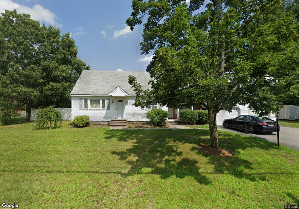
490 Foster Rd Tewksbury, MA 01876
Estimated Value: $693,176 - $840,000
3
Beds
3
Baths
2,354
Sq Ft
$323/Sq Ft
Est. Value
About This Home
This home is located at 490 Foster Rd, Tewksbury, MA 01876 and is currently estimated at $760,544, approximately $323 per square foot. 490 Foster Rd is a home located in Middlesex County with nearby schools including Heath-Brook Elementary School, John W. Wynn Middle School, and John F. Ryan Elementary School.
Ownership History
Date
Name
Owned For
Owner Type
Purchase Details
Closed on
Nov 20, 1989
Sold by
Field Elizabeth
Bought by
Field Margaret
Current Estimated Value
Create a Home Valuation Report for This Property
The Home Valuation Report is an in-depth analysis detailing your home's value as well as a comparison with similar homes in the area
Home Values in the Area
Average Home Value in this Area
Purchase History
| Date | Buyer | Sale Price | Title Company |
|---|---|---|---|
| Field Margaret | $65,000 | -- |
Source: Public Records
Mortgage History
| Date | Status | Borrower | Loan Amount |
|---|---|---|---|
| Open | Field Margaret | $316,375 | |
| Closed | Field Margaret | $60,000 | |
| Closed | Field Margaret | $190,000 |
Source: Public Records
Tax History Compared to Growth
Tax History
| Year | Tax Paid | Tax Assessment Tax Assessment Total Assessment is a certain percentage of the fair market value that is determined by local assessors to be the total taxable value of land and additions on the property. | Land | Improvement |
|---|---|---|---|---|
| 2025 | $8,913 | $674,200 | $305,500 | $368,700 |
| 2024 | $9,121 | $681,200 | $291,100 | $390,100 |
| 2023 | $8,509 | $603,500 | $264,500 | $339,000 |
| 2022 | $8,331 | $548,100 | $230,100 | $318,000 |
| 2021 | $8,061 | $512,800 | $209,200 | $303,600 |
| 2020 | $7,704 | $482,400 | $199,200 | $283,200 |
| 2019 | $7,543 | $476,200 | $189,600 | $286,600 |
| 2018 | $7,696 | $444,800 | $189,600 | $255,200 |
| 2017 | $6,940 | $425,500 | $189,600 | $235,900 |
| 2016 | $6,700 | $409,800 | $189,600 | $220,200 |
| 2015 | $6,068 | $370,700 | $183,900 | $186,800 |
| 2014 | $5,782 | $358,900 | $183,900 | $175,000 |
Source: Public Records
Map
Nearby Homes
- 70 Ronald Dr
- 31 Marie St
- 1501 Whipple Rd
- 48 Whipple Rd
- 51 Whipple Rd
- 31 Harjean Rd
- 77 Whipple Rd
- 43 Palm Dr
- 6 Stonebury Way Unit 6
- 29 Oregon Rd
- 1042 Chandler St
- 16 Eagle Dr
- 42 Fairmeadow Rd
- 8 Boisvert Rd
- 1455 Main St Unit 8
- 1455 Main St Unit 4
- 1455 Main St Unit 10
- 3 Primrose Rd
- 1418 Main St Unit 201
- 548 Chandler St
- 496 Foster Rd
- 480 Foster Rd
- 505 Foster Rd
- 497 Foster Rd
- 515 Foster Rd
- 489 Foster Rd
- 41 Joanne Dr
- 470 Foster Rd
- 160 Shawsheen St Unit 4
- 160 Shawsheen St Unit 3
- 160 Shawsheen St Unit 2
- 160 Shawsheen St Unit 1
- 160A Shawsheen St Unit 160A
- 160 Shawsheen St Unit D
- 160 Shawsheen St Unit C
- 481 Foster Rd
- 156 Shawsheen St
- 156 Shawsheen St
- 156 Shawsheen St Unit 156
- 51 Joanne Dr