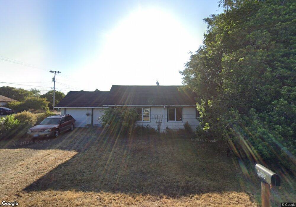
490 Juniper St Florence, OR 97439
Estimated Value: $265,000 - $338,000
2
Beds
1
Bath
994
Sq Ft
$320/Sq Ft
Est. Value
About This Home
This home is located at 490 Juniper St, Florence, OR 97439 and is currently estimated at $318,102, approximately $320 per square foot. 490 Juniper St is a home located in Lane County with nearby schools including Siuslaw Elementary School, Siuslaw Middle School, and Siuslaw High School.
Ownership History
Date
Name
Owned For
Owner Type
Purchase Details
Closed on
Sep 18, 2013
Sold by
Jensen Barry
Bought by
Hulan Carl Anderson and Meller Liat
Current Estimated Value
Home Financials for this Owner
Home Financials are based on the most recent Mortgage that was taken out on this home.
Original Mortgage
$91,200
Outstanding Balance
$67,532
Interest Rate
4.36%
Mortgage Type
New Conventional
Estimated Equity
$250,570
Purchase Details
Closed on
May 16, 2005
Sold by
Gourley Robert F and Gourley Hazel M
Bought by
Jensen Barry
Create a Home Valuation Report for This Property
The Home Valuation Report is an in-depth analysis detailing your home's value as well as a comparison with similar homes in the area
Home Values in the Area
Average Home Value in this Area
Purchase History
| Date | Buyer | Sale Price | Title Company |
|---|---|---|---|
| Hulan Carl Anderson | $114,000 | Western Title & Escrow Co | |
| Jensen Barry | $129,000 | Western Pioneer Title Co |
Source: Public Records
Mortgage History
| Date | Status | Borrower | Loan Amount |
|---|---|---|---|
| Open | Hulan Carl Anderson | $91,200 |
Source: Public Records
Tax History
| Year | Tax Paid | Tax Assessment Tax Assessment Total Assessment is a certain percentage of the fair market value that is determined by local assessors to be the total taxable value of land and additions on the property. | Land | Improvement |
|---|---|---|---|---|
| 2025 | $1,880 | $137,795 | -- | -- |
| 2024 | $1,826 | $133,782 | -- | -- |
| 2023 | $1,826 | $129,886 | -- | -- |
| 2022 | $1,703 | $126,103 | $0 | $0 |
| 2021 | $1,668 | $122,431 | $0 | $0 |
| 2020 | $1,624 | $118,866 | $0 | $0 |
| 2019 | $1,464 | $108,058 | $0 | $0 |
| 2018 | $1,467 | $101,855 | $0 | $0 |
| 2017 | $1,415 | $101,855 | $0 | $0 |
| 2016 | $1,375 | $98,888 | $0 | $0 |
| 2015 | $1,346 | $96,008 | $0 | $0 |
| 2014 | $1,331 | $93,212 | $0 | $0 |
Source: Public Records
Map
Nearby Homes
- 1184 2nd St
- 0 Hemlock St Unit TL 2200
- 0 Hemlock St Unit 24176357
- 0 Hemlock St Unit 23650308
- 0 Hemlock St Unit 583848803
- 1695947 4th St
- 1335 7th St
- 777 Rhododendron Dr
- 1070 Bay St Unit 22
- 1080 Bay St Unit 19
- 1040 Bay St Unit 14
- 1036 9th St
- 179 Laurel St Unit 9
- 1495 8th St
- 1260 10th St Unit 11
- 1260 10th St Unit 5
- 289 Harbor St
- 290 Harbor St
- 211 Harbor St Unit 22
- 1150 Hemlock St Unit C11
- 458 Juniper St
- -1 Juniper St
- 1135 Rhododendron Dr
- 467 Kingwood St
- 451 Kingwood St
- 522 Juniper St
- 420 Juniper St
- 485 Juniper St
- 509 Kingwood St
- 439 Juniper St
- 536 Juniper St
- 505 Juniper St
- 423 Kingwood St
- 417 Juniper St
- 527 Juniper St
- 537 Kingwood St
- 390 Juniper St
- 1028 Rhododendron Dr
- 576 Juniper St
- 1138 6th St
Your Personal Tour Guide
Ask me questions while you tour the home.