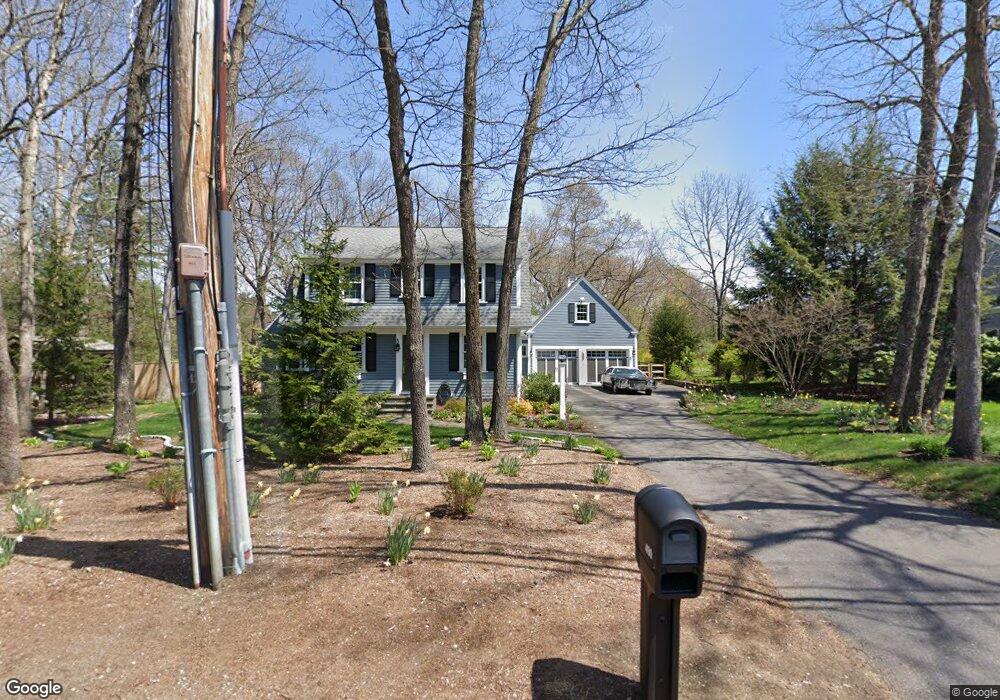
490 Laws Brook Rd Concord, MA 01742
Estimated Value: $1,097,000 - $1,410,000
4
Beds
3
Baths
2,925
Sq Ft
$442/Sq Ft
Est. Value
About This Home
This home is located at 490 Laws Brook Rd, Concord, MA 01742 and is currently estimated at $1,293,087, approximately $442 per square foot. 490 Laws Brook Rd is a home located in Middlesex County with nearby schools including Thoreau Elementary School, Concord Middle School, and Concord Academy.
Ownership History
Date
Name
Owned For
Owner Type
Purchase Details
Closed on
May 29, 1991
Sold by
Flanagan James M
Bought by
Wipper Scott A and Wipper Carol S
Current Estimated Value
Create a Home Valuation Report for This Property
The Home Valuation Report is an in-depth analysis detailing your home's value as well as a comparison with similar homes in the area
Home Values in the Area
Average Home Value in this Area
Purchase History
| Date | Buyer | Sale Price | Title Company |
|---|---|---|---|
| Wipper Scott A | $197,500 | -- |
Source: Public Records
Mortgage History
| Date | Status | Borrower | Loan Amount |
|---|---|---|---|
| Open | Wipper Scott A | $417,000 | |
| Closed | Wipper Scott A | $417,000 | |
| Closed | Wipper Scott A | $100,000 |
Source: Public Records
Tax History Compared to Growth
Tax History
| Year | Tax Paid | Tax Assessment Tax Assessment Total Assessment is a certain percentage of the fair market value that is determined by local assessors to be the total taxable value of land and additions on the property. | Land | Improvement |
|---|---|---|---|---|
| 2025 | $161 | $1,210,700 | $491,400 | $719,300 |
| 2024 | $15,896 | $1,210,700 | $491,400 | $719,300 |
| 2023 | $14,669 | $1,131,900 | $446,800 | $685,100 |
| 2022 | $13,646 | $924,500 | $357,400 | $567,100 |
| 2021 | $13,316 | $904,600 | $357,400 | $547,200 |
| 2020 | $12,983 | $912,400 | $357,400 | $555,000 |
| 2019 | $12,516 | $882,000 | $369,200 | $512,800 |
| 2018 | $12,071 | $844,700 | $338,900 | $505,800 |
| 2017 | $11,544 | $820,500 | $314,700 | $505,800 |
| 2016 | $11,459 | $823,200 | $314,700 | $508,500 |
| 2015 | $10,816 | $756,900 | $291,400 | $465,500 |
Source: Public Records
Map
Nearby Homes
- 65 Summit St
- 70 Hillside Ave
- 88 Wright Rd
- 10 Wright Rd
- 37 Water St
- 27 Water St
- 1687 Main St
- 1828 Main St
- 1844 Main St Unit 1844
- 80 N Branch Rd
- 54 Maple St
- 102 Highland St
- 70 McCallar Ln
- 2 Clover Hill Rd
- 111 Central St
- 118 Parker St Unit 16
- 128 Parker St Unit 3B
- 132 Parker St Unit G5
- 11 Horseshoe Dr
- 1 Bayberry Rd
- 480 Laws Brook Rd
- 468 Laws Brook Rd
- 29 Bayberry Rd
- 59 Laws Brook Rd
- 467 Laws Brook Rd
- 45 Bayberry Rd
- 54 Lawsbrook Rd
- 452 Laws Brook Rd
- 457 Laws Brook Rd
- 26 Bayberry Rd
- 38 Bayberry Rd
- 36 High St
- 1 Old Colony Ln
- 179 Hill St
- 4 Old Colony Ln
- 174 Hill St
- 57 Bayberry Rd
- 445 Laws Brook Rd
- 438 Laws Brook Rd
- 60 Lawsbrook Rd