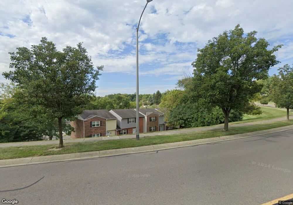
490 Maple Circle Dr Unit 40 Cincinnati, OH 45246
Estimated Value: $221,301 - $260,000
3
Beds
3
Baths
1,548
Sq Ft
$151/Sq Ft
Est. Value
About This Home
This home is located at 490 Maple Circle Dr Unit 40, Cincinnati, OH 45246 and is currently estimated at $233,825, approximately $151 per square foot. 490 Maple Circle Dr Unit 40 is a home located in Hamilton County with nearby schools including Springdale Elementary School, Princeton Community Middle School, and Princeton High School.
Ownership History
Date
Name
Owned For
Owner Type
Purchase Details
Closed on
May 22, 2006
Sold by
Conde Carlista Moore and Conde Michael
Bought by
Williams Latesha H
Current Estimated Value
Home Financials for this Owner
Home Financials are based on the most recent Mortgage that was taken out on this home.
Original Mortgage
$85,000
Outstanding Balance
$48,760
Interest Rate
6.62%
Mortgage Type
Purchase Money Mortgage
Estimated Equity
$185,065
Purchase Details
Closed on
Sep 15, 1999
Sold by
Buckner Lorin K and Buckner Renee A
Bought by
Moore Carlista M
Home Financials for this Owner
Home Financials are based on the most recent Mortgage that was taken out on this home.
Original Mortgage
$94,963
Interest Rate
7.93%
Mortgage Type
FHA
Create a Home Valuation Report for This Property
The Home Valuation Report is an in-depth analysis detailing your home's value as well as a comparison with similar homes in the area
Home Values in the Area
Average Home Value in this Area
Purchase History
| Date | Buyer | Sale Price | Title Company |
|---|---|---|---|
| Williams Latesha H | $125,900 | Buckeye Land Title Company | |
| Moore Carlista M | $97,900 | -- |
Source: Public Records
Mortgage History
| Date | Status | Borrower | Loan Amount |
|---|---|---|---|
| Open | Williams Latesha H | $85,000 | |
| Previous Owner | Moore Carlista M | $94,963 |
Source: Public Records
Tax History
| Year | Tax Paid | Tax Assessment Tax Assessment Total Assessment is a certain percentage of the fair market value that is determined by local assessors to be the total taxable value of land and additions on the property. | Land | Improvement |
|---|---|---|---|---|
| 2025 | $3,327 | $66,329 | $8,575 | $57,754 |
| 2023 | $2,865 | $66,329 | $8,575 | $57,754 |
| 2022 | $2,254 | $42,438 | $7,081 | $35,357 |
| 2021 | $2,191 | $42,438 | $7,081 | $35,357 |
| 2020 | $2,219 | $42,438 | $7,081 | $35,357 |
| 2019 | $2,018 | $35,662 | $5,950 | $29,712 |
| 2018 | $1,899 | $35,662 | $5,950 | $29,712 |
| 2017 | $1,782 | $35,662 | $5,950 | $29,712 |
| 2016 | $1,607 | $31,910 | $5,474 | $26,436 |
| 2015 | $1,623 | $31,910 | $5,474 | $26,436 |
| 2014 | $1,628 | $31,910 | $5,474 | $26,436 |
| 2013 | $1,731 | $34,685 | $5,950 | $28,735 |
Source: Public Records
Map
Nearby Homes
- 10 Woodside Ct
- 22 Oakwood Ct
- 38 Providence Dr
- 290 Nelson Ln
- 694 Park Ave
- 604 Smiley Ave
- 13 Caribou Ct
- 3721 Mack Rd
- 11839 Hamlet Rd
- 3700 Mack Rd
- 11570 Rose Ln
- 805 Halesworth Dr
- 3323 Devonian Dr
- 7529 Tollgate Ct
- 3311 Greenwich Dr
- 287 Bedford Glen Ln Unit 27
- 256 Centerbury Ct Unit 67
- 11481 Fremantle Dr
- 237 Eastwick Dr
- 11639 Hanover Rd
- 488 Maple Circle Dr
- 486 Maple Circle Dr
- 492 Maple Circle Dr Unit 41
- 491 Maple Circle Dr Unit 42
- 487 Maple Circle Dr Unit 44
- 489 Maple Circle Dr
- 481 Maple Circle Dr
- 483 Maple Circle Dr
- 485 Maple Circle Dr
- 478 Maple Circle Dr Unit 35
- 472 Maple Circle Dr Unit 32
- 482 Maple Circle Dr
- 484 Maple Circle Dr
- 480 Maple Circle Dr
- 476 Maple Circle Dr Unit 34
- 474 Maple Circle Dr
- 12181 Peak Dr
- 12185 Peak Dr
- 12183 Peak Dr
- 12179 Peak Dr
Your Personal Tour Guide
Ask me questions while you tour the home.