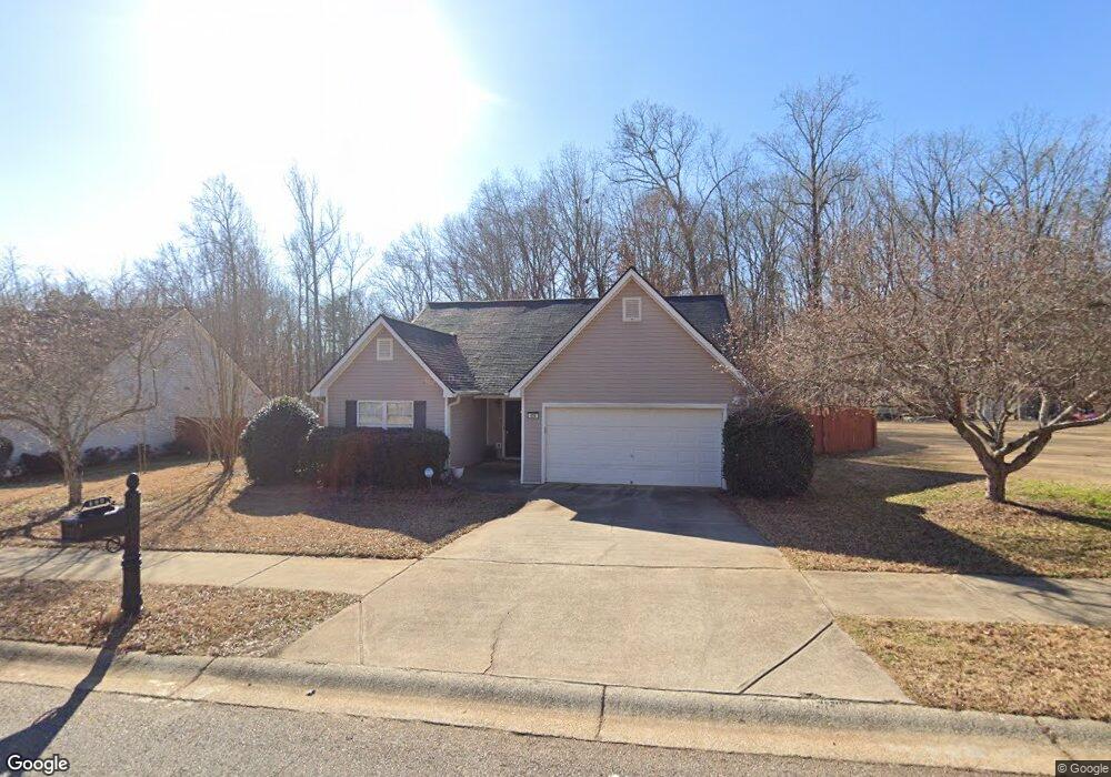
490 Maple Forge Dr Athens, GA 30606
Estimated Value: $277,051 - $310,000
Studio
--
Bath
1,429
Sq Ft
$206/Sq Ft
Est. Value
About This Home
This home is located at 490 Maple Forge Dr, Athens, GA 30606 and is currently estimated at $294,013, approximately $205 per square foot. 490 Maple Forge Dr is a home located in Clarke County with nearby schools including Whitehead Road Elementary School, Burney-Harris-Lyons Middle School, and Clarke Central High School.
Ownership History
Date
Name
Owned For
Owner Type
Purchase Details
Closed on
May 2, 2003
Sold by
Nature Walk Builders Llc
Bought by
Rysiew Robert and Minoli Rysiew
Current Estimated Value
Purchase Details
Closed on
Mar 7, 2003
Sold by
Smh Builders Llc
Bought by
Nature Walk Builders Llc
Purchase Details
Closed on
Oct 22, 2002
Sold by
Millwater Management Corporati
Bought by
Smh Builders Llc
Create a Home Valuation Report for This Property
The Home Valuation Report is an in-depth analysis detailing your home's value as well as a comparison with similar homes in the area
Purchase History
| Date | Buyer | Sale Price | Title Company |
|---|---|---|---|
| Rysiew Robert | $109,900 | -- | |
| Nature Walk Builders Llc | -- | -- | |
| Smh Builders Llc | $45,000 | -- | |
| Millwater Management Corporation Inc | $29,000 | -- |
Source: Public Records
Tax History
| Year | Tax Paid | Tax Assessment Tax Assessment Total Assessment is a certain percentage of the fair market value that is determined by local assessors to be the total taxable value of land and additions on the property. | Land | Improvement |
|---|---|---|---|---|
| 2025 | $2,841 | $110,731 | $12,000 | $98,731 |
| 2024 | $2,841 | $102,314 | $12,000 | $90,314 |
| 2023 | $1,935 | $96,922 | $12,000 | $84,922 |
| 2022 | $2,260 | $80,860 | $10,400 | $70,460 |
| 2021 | $1,830 | $64,317 | $10,400 | $53,917 |
| 2020 | $1,660 | $59,262 | $10,400 | $48,862 |
| 2019 | $1,522 | $54,824 | $10,400 | $44,424 |
| 2018 | $1,418 | $51,759 | $10,400 | $41,359 |
| 2017 | $1,213 | $45,738 | $10,400 | $35,338 |
| 2016 | $1,114 | $42,819 | $10,400 | $32,419 |
| 2015 | $1,078 | $41,693 | $10,400 | $31,293 |
| 2014 | $938 | $37,521 | $10,400 | $27,121 |
Source: Public Records
Map
Nearby Homes
- 480 Maple Forge Dr
- 283 Lake Vista Way
- 555 Red Bluff Dr
- 155 Red Bluff Dr
- 320 Mizner Blvd
- 207 Wisteria Way
- 6 Oak Grove Rd
- 83 Charter Oak Dr
- 247 Jasmine Trail
- 245 Federal St
- 25 Charter Oak Dr
- 435 Rustwood Dr
- 309 Jasmine Trail
- 265 Federal St
- 6270 Old Jefferson Rd
- 130 Peachtree Ln
- 6180 Old Jefferson Rd
- 300 Lavender Rd
- 230 Rustwood Dr
- 0 Jefferson Rd Unit CL345142
- 500 Maple Forge Dr
- 510 Maple Forge Dr
- 470 Maple Forge Dr
- 475 Maple Forge Dr
- 495 Maple Forge Dr
- 520 Maple Forge Dr
- 455 Maple Forge Dr
- 505 Maple Forge Dr
- 460 Maple Forge Dr
- 440 Maple Forge Dr
- 530 Maple Forge Dr
- 515 Maple Forge Dr
- 425 Maple Forge Dr
- 450 Maple Forge Dr
- 525 Maple Forge Dr
- 540 Maple Forge Dr
- 430 Maple Forge Dr
- 535 Maple Forge Dr
- 550 Maple Forge Dr
- 420 Maple Forge Dr
Your Personal Tour Guide
Ask me questions while you tour the home.