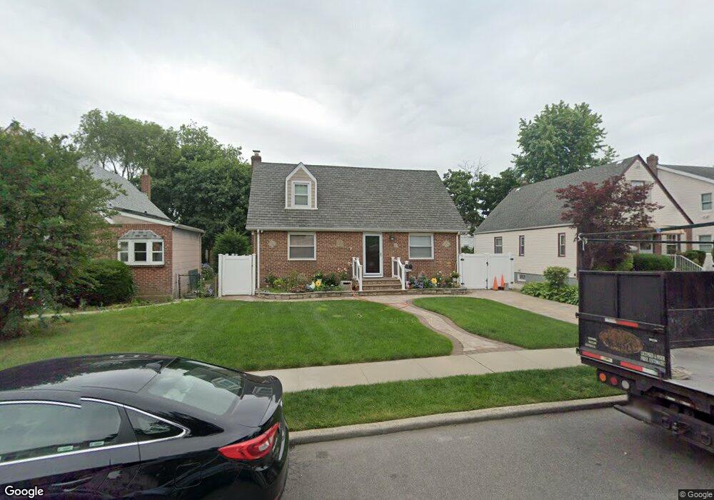
490 Mize Ct Uniondale, NY 11553
Estimated Value: $414,000 - $551,778
--
Bed
1
Bath
1,109
Sq Ft
$435/Sq Ft
Est. Value
About This Home
This home is located at 490 Mize Ct, Uniondale, NY 11553 and is currently estimated at $482,889, approximately $435 per square foot. 490 Mize Ct is a home located in Nassau County with nearby schools including California Avenue Elementary School, Lawrence Road Middle School, and Uniondale High School.
Ownership History
Date
Name
Owned For
Owner Type
Purchase Details
Closed on
Jul 10, 2022
Sold by
Sotomagana Heriberto
Bought by
490 Mize Court Holding Llc
Current Estimated Value
Purchase Details
Closed on
Aug 28, 2013
Sold by
Daly Gerald Peter
Bought by
Sotomagana Heriberto
Home Financials for this Owner
Home Financials are based on the most recent Mortgage that was taken out on this home.
Original Mortgage
$206,196
Interest Rate
4.25%
Mortgage Type
FHA
Purchase Details
Closed on
Oct 4, 2003
Sold by
Daly Gerard
Create a Home Valuation Report for This Property
The Home Valuation Report is an in-depth analysis detailing your home's value as well as a comparison with similar homes in the area
Home Values in the Area
Average Home Value in this Area
Purchase History
| Date | Buyer | Sale Price | Title Company |
|---|---|---|---|
| 490 Mize Court Holding Llc | -- | Fidelity National Ttl Ins Co | |
| Sotomagana Heriberto | $210,000 | Fidelity National Title Insu | |
| -- | -- | -- |
Source: Public Records
Mortgage History
| Date | Status | Borrower | Loan Amount |
|---|---|---|---|
| Previous Owner | Sotomagana Heriberto | $206,196 |
Source: Public Records
Tax History Compared to Growth
Tax History
| Year | Tax Paid | Tax Assessment Tax Assessment Total Assessment is a certain percentage of the fair market value that is determined by local assessors to be the total taxable value of land and additions on the property. | Land | Improvement |
|---|---|---|---|---|
| 2025 | $8,630 | $369 | $131 | $238 |
| 2024 | $3,076 | $369 | $131 | $238 |
| 2023 | $7,863 | $369 | $131 | $238 |
| 2022 | $7,863 | $369 | $131 | $238 |
| 2021 | $7,776 | $352 | $125 | $227 |
| 2020 | $7,833 | $545 | $462 | $83 |
| 2019 | $2,754 | $545 | $462 | $83 |
| 2018 | $4,537 | $545 | $0 | $0 |
| 2017 | $4,331 | $545 | $462 | $83 |
| 2016 | $6,981 | $545 | $462 | $83 |
| 2015 | $2,698 | $545 | $462 | $83 |
| 2014 | $2,698 | $545 | $462 | $83 |
| 2013 | $2,183 | $545 | $462 | $83 |
Source: Public Records
Map
Nearby Homes
- 399 Hawthorne Ave
- 541 Bedford Ave
- 178 Rutland Rd
- 112 Rutland Rd
- 363 Clarendon Rd
- 203 Rutland Rd
- 403 Jerusalem Ave
- 537 Duryea Ave
- 183 Perry St
- 305 Crowell St
- 602 Leonard Ave
- 355 Jerusalem Ave
- 546 Clark Place
- 666 Lowell Rd
- 33 Elmwood Ave
- 66 Elmwood Ave
- 664 Clinton Ave
- 692 Beck St
- 240 Bedford Ave
- 641 Lowell Rd