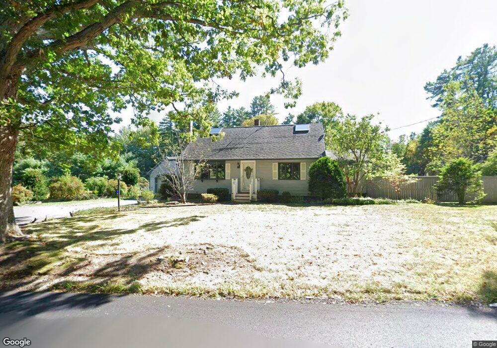
490 Mulpus Rd Lunenburg, MA 01462
Estimated Value: $510,785 - $745,000
3
Beds
2
Baths
1,841
Sq Ft
$326/Sq Ft
Est. Value
About This Home
This home is located at 490 Mulpus Rd, Lunenburg, MA 01462 and is currently estimated at $600,696, approximately $326 per square foot. 490 Mulpus Rd is a home located in Worcester County with nearby schools including Lunenburg Primary School and Lunenburg High School.
Ownership History
Date
Name
Owned For
Owner Type
Purchase Details
Closed on
Jun 23, 2021
Sold by
Gordon Judith P
Bought by
Judith P Gordon 2020 Ret
Current Estimated Value
Purchase Details
Closed on
Jun 16, 2017
Sold by
Gordon Judith P
Bought by
Gordon Judith P and Gordon Kenneth M
Purchase Details
Closed on
Oct 30, 1989
Sold by
Lavoie James
Bought by
Mulkern Judith
Home Financials for this Owner
Home Financials are based on the most recent Mortgage that was taken out on this home.
Original Mortgage
$77,000
Interest Rate
9.94%
Mortgage Type
Purchase Money Mortgage
Create a Home Valuation Report for This Property
The Home Valuation Report is an in-depth analysis detailing your home's value as well as a comparison with similar homes in the area
Home Values in the Area
Average Home Value in this Area
Purchase History
| Date | Buyer | Sale Price | Title Company |
|---|---|---|---|
| Judith P Gordon 2020 Ret | -- | None Available | |
| Gordon Judith P | -- | -- | |
| Mulkern Judith | $195,000 | -- |
Source: Public Records
Mortgage History
| Date | Status | Borrower | Loan Amount |
|---|---|---|---|
| Previous Owner | Mulkern Judith | $77,000 |
Source: Public Records
Tax History
| Year | Tax Paid | Tax Assessment Tax Assessment Total Assessment is a certain percentage of the fair market value that is determined by local assessors to be the total taxable value of land and additions on the property. | Land | Improvement |
|---|---|---|---|---|
| 2025 | $6,102 | $424,900 | $145,800 | $279,100 |
| 2024 | $5,854 | $415,200 | $137,700 | $277,500 |
| 2023 | $5,836 | $399,200 | $125,100 | $274,100 |
| 2022 | $5,190 | $301,900 | $104,500 | $197,400 |
| 2020 | $5,238 | $289,100 | $104,300 | $184,800 |
| 2019 | $5,126 | $274,400 | $98,300 | $176,100 |
| 2018 | $4,905 | $249,000 | $98,300 | $150,700 |
| 2017 | $4,669 | $233,700 | $93,000 | $140,700 |
| 2016 | $4,359 | $222,300 | $88,500 | $133,800 |
| 2015 | $3,904 | $213,100 | $83,900 | $129,200 |
Source: Public Records
Map
Nearby Homes
- 367 Mulpus Rd
- 12 Cortland Cir Unit 12
- 105 Townsend Rd Unit 1
- 24 Townsend Rd
- 22 Townsend Rd
- Lot 5 Townsend Rd
- 111 Squannacook Rd
- 92 Squannacook Rd
- Lot 10 Christian Cir
- 4 Koski Way
- 17 Longley Rd
- 43 Longley Rd
- 11 Longley Rd Unit G3
- 44 Squannacook Rd
- 26 Bluebird Ln
- 11 Longwood Dr
- 110 Burrage St
- 2 Gabes Place
- 26 Bradley Dr Unit D
- 91 Valley Rd
Your Personal Tour Guide
Ask me questions while you tour the home.