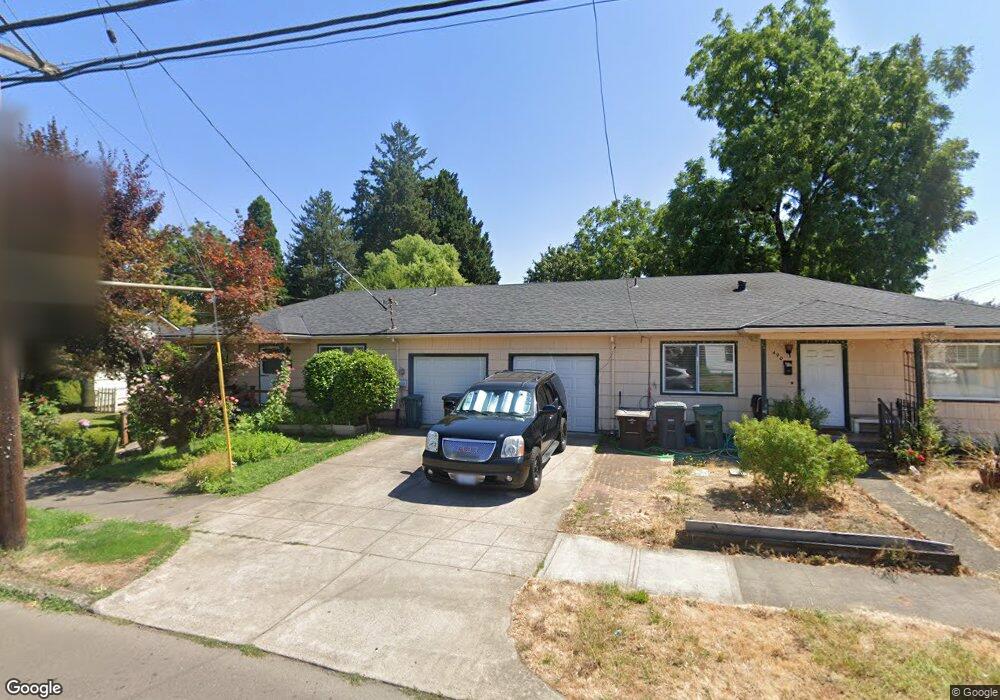
490 N 1st Ave Hillsboro, OR 97124
Central Hillsboro NeighborhoodEstimated Value: $456,000 - $520,000
4
Beds
2
Baths
2,016
Sq Ft
$247/Sq Ft
Est. Value
About This Home
This home is located at 490 N 1st Ave, Hillsboro, OR 97124 and is currently estimated at $496,968, approximately $246 per square foot. 490 N 1st Ave is a home located in Washington County with nearby schools including Lincoln Street Elementary School, Evergreen Jr High School, and Glencoe High School.
Ownership History
Date
Name
Owned For
Owner Type
Purchase Details
Closed on
Jan 2, 1997
Sold by
Eakin Gleason and Barcroft Gale
Bought by
Montes Julian and Montes Leonor
Current Estimated Value
Home Financials for this Owner
Home Financials are based on the most recent Mortgage that was taken out on this home.
Original Mortgage
$142,202
Outstanding Balance
$15,136
Interest Rate
7.53%
Mortgage Type
FHA
Estimated Equity
$481,832
Create a Home Valuation Report for This Property
The Home Valuation Report is an in-depth analysis detailing your home's value as well as a comparison with similar homes in the area
Home Values in the Area
Average Home Value in this Area
Purchase History
| Date | Buyer | Sale Price | Title Company |
|---|---|---|---|
| Montes Julian | $144,500 | Ticor Title Insurance |
Source: Public Records
Mortgage History
| Date | Status | Borrower | Loan Amount |
|---|---|---|---|
| Open | Montes Julian | $142,202 |
Source: Public Records
Tax History Compared to Growth
Tax History
| Year | Tax Paid | Tax Assessment Tax Assessment Total Assessment is a certain percentage of the fair market value that is determined by local assessors to be the total taxable value of land and additions on the property. | Land | Improvement |
|---|---|---|---|---|
| 2025 | $2,682 | $164,050 | -- | -- |
| 2024 | $2,605 | $159,280 | -- | -- |
| 2023 | $2,605 | $154,650 | $0 | $0 |
| 2022 | $2,535 | $154,650 | $0 | $0 |
| 2021 | $2,484 | $145,780 | $0 | $0 |
| 2020 | $2,431 | $141,540 | $0 | $0 |
| 2019 | $2,361 | $137,420 | $0 | $0 |
| 2018 | $2,260 | $133,420 | $0 | $0 |
| 2017 | $2,178 | $129,540 | $0 | $0 |
| 2016 | $2,118 | $125,770 | $0 | $0 |
| 2015 | $2,033 | $122,110 | $0 | $0 |
| 2014 | $2,021 | $118,560 | $0 | $0 |
Source: Public Records
Map
Nearby Homes
- 154 NW Garibaldi St
- 665 NE 3rd Ave
- 341 NE 3rd Ave
- 856 NW Val Ct
- 354 NE Jackson St
- 456 NW Dennis Ave
- 457 NW Forest St
- 245 NE 4th Ave
- 711 NW Connell Ave
- 420 NE Jackson St
- 874 NE 6th Dr
- 1 NE 3rd Ave
- 301 W Main St
- 511 NE Lincoln St
- 437 NW Freeman Ave
- 635 NW Queens Ct
- 624 NE Edison St
- 553 NE Buena Vista St
- 1242 NE Parkside Dr
- 1425 NE Glen Ellen Dr
- 127 NE Jefferson St
- 502 N 1st Ave
- 112 NE Jefferson St
- 110 NW Garibaldi St
- 524 N 1st Ave
- 141 NE Jefferson St
- 124 NE Jefferson St
- 475 N 1st Ave
- 513 N 1st Ave
- 461 N 1st Ave
- 145 NE Jefferson St
- 452 N 1st Ave
- 126 NE Grant St
- 138 NE Jefferson St
- 527 N 1st Ave
- 153 NE Jefferson St
- 449 N 1st Ave
- 132 NW Garibaldi St
- 116 NE Grant St
- 146 NE Jefferson St Unit 1