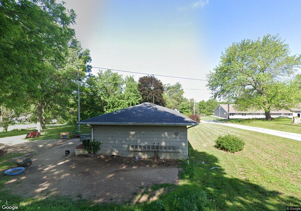
490 N Holt St Fillmore, MO 64449
Estimated Value: $110,000 - $166,000
2
Beds
1
Bath
1,680
Sq Ft
$82/Sq Ft
Est. Value
About This Home
This home is located at 490 N Holt St, Fillmore, MO 64449 and is currently estimated at $137,020, approximately $81 per square foot. 490 N Holt St is a home with nearby schools including North Andrew Elementary School, North Andrew Middle School, and North Andrew High School.
Ownership History
Date
Name
Owned For
Owner Type
Purchase Details
Closed on
Dec 17, 2012
Sold by
Townsend Carl R and Townsend Lila
Bought by
Taylor David and Taylor Laura
Current Estimated Value
Home Financials for this Owner
Home Financials are based on the most recent Mortgage that was taken out on this home.
Original Mortgage
$49,000
Outstanding Balance
$33,706
Interest Rate
3.37%
Estimated Equity
$103,314
Purchase Details
Closed on
Sep 15, 2010
Sold by
Mortgage One Corp Dba Hfc Mortgage Corp
Bought by
Neiderhauser Victor L
Create a Home Valuation Report for This Property
The Home Valuation Report is an in-depth analysis detailing your home's value as well as a comparison with similar homes in the area
Purchase History
| Date | Buyer | Sale Price | Title Company |
|---|---|---|---|
| Taylor David | -- | -- | |
| Neiderhauser Victor L | -- | -- |
Source: Public Records
Mortgage History
| Date | Status | Borrower | Loan Amount |
|---|---|---|---|
| Open | Neiderhauser Victor L | $49,000 |
Source: Public Records
Tax History
| Year | Tax Paid | Tax Assessment Tax Assessment Total Assessment is a certain percentage of the fair market value that is determined by local assessors to be the total taxable value of land and additions on the property. | Land | Improvement |
|---|---|---|---|---|
| 2025 | $706 | $9,840 | $600 | $9,240 |
| 2024 | $706 | $8,870 | $600 | $8,270 |
| 2023 | $651 | $8,870 | $600 | $8,270 |
| 2022 | $649 | $8,870 | $600 | $8,270 |
| 2021 | $637 | $8,870 | $600 | $8,270 |
| 2020 | $636 | $8,870 | $600 | $8,270 |
| 2019 | $607 | $8,870 | $600 | $8,270 |
| 2018 | $603 | $8,870 | $600 | $8,270 |
| 2017 | $0 | $8,870 | $600 | $8,270 |
| 2016 | $617 | $8,870 | $600 | $8,270 |
| 2015 | -- | $8,870 | $600 | $8,270 |
| 2011 | -- | $46,570 | $3,150 | $43,420 |
Source: Public Records
Map
Nearby Homes
- 490 E Main St
- 1 E Hershaw St
- 1 County Road 45
- Co Rd 45
- 1148 County Road 13
- 66 Cr 66 - Tract 5 Rd
- 58.7+/- Acres County Road 66
- 27860 Y Hwy
- 27760 Y Hwy
- 0 County Road 39 N A
- 0 432 Rd Unit HMS2587548
- 000 432 Rd
- 8350 County Rd 427 N A
- Hwy U
- 601 U S 71
- 1 Holt 340
- 0 Holt 340
- 14913 County Rd 457 N A
- 2 Holt 340
- 803 N 15th Terrace
- 177 E Hickory St
- 461 N Holt St
- 475 N Cross St
- 410 N Holt St
- 441 N Holt St
- 111 E Hickory St
- 389 N Holt St
- 375 N Cross St
- 300 N Holt St
- 478 N Cross St
- 319 N Cross St
- 464 N Cross St
- 314 S Holt St
- 6798 State Route H
- 310 N Cross St
- 250 N Holt St
- 285 N Cross St
- 275 N Holt St
- 305 N Florence St
- 175 E Hibbard St
Your Personal Tour Guide
Ask me questions while you tour the home.