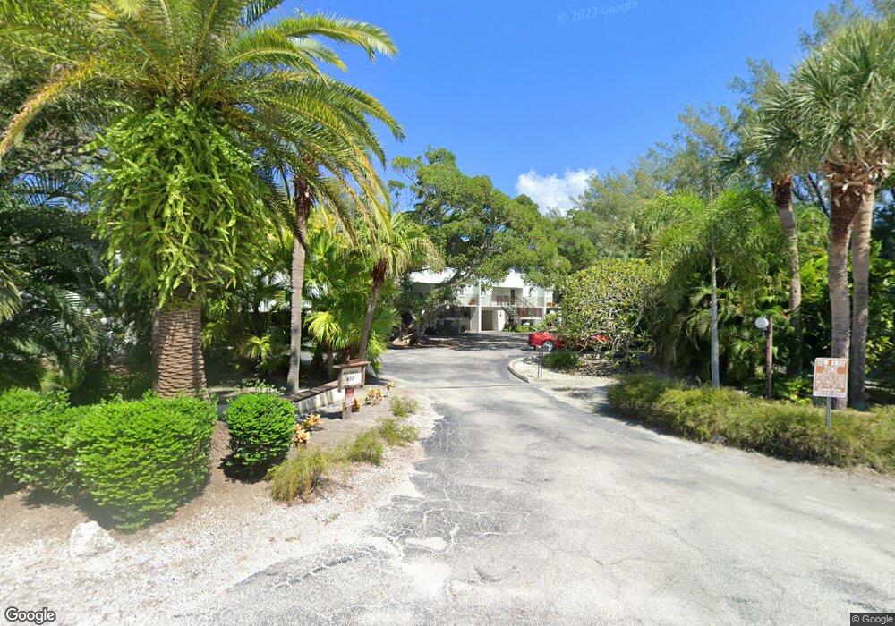
490 N Shore Rd Unit 9 Longboat Key, FL 34228
Estimated Value: $769,000 - $1,480,000
3
Beds
2
Baths
2,436
Sq Ft
$470/Sq Ft
Est. Value
About This Home
This home is located at 490 N Shore Rd Unit 9, Longboat Key, FL 34228 and is currently estimated at $1,145,454, approximately $470 per square foot. 490 N Shore Rd Unit 9 is a home located in Manatee County with nearby schools including Anna Maria Elementary School, Martha B. King Middle School, and Bayshore High School.
Ownership History
Date
Name
Owned For
Owner Type
Purchase Details
Closed on
Apr 27, 2021
Sold by
Smith Carla Marilyn and Collins Florence A
Bought by
Smith Carla Marilyn and Florence A Collins Frt
Current Estimated Value
Purchase Details
Closed on
Nov 23, 2015
Sold by
Collins Florence A and Collins Roger T
Bought by
Smith Carla Marilyn
Purchase Details
Closed on
Dec 8, 1999
Sold by
Martin Warner G and Martin Shirley J
Bought by
Collins Roger T and Collins Florence A
Home Financials for this Owner
Home Financials are based on the most recent Mortgage that was taken out on this home.
Original Mortgage
$272,800
Interest Rate
7.99%
Mortgage Type
Purchase Money Mortgage
Create a Home Valuation Report for This Property
The Home Valuation Report is an in-depth analysis detailing your home's value as well as a comparison with similar homes in the area
Home Values in the Area
Average Home Value in this Area
Purchase History
| Date | Buyer | Sale Price | Title Company |
|---|---|---|---|
| Smith Carla Marilyn | -- | Accommodation | |
| Smith Carla Marilyn | -- | Attorney | |
| Collins Roger T | $350,000 | -- |
Source: Public Records
Mortgage History
| Date | Status | Borrower | Loan Amount |
|---|---|---|---|
| Previous Owner | Collins Roger T | $272,800 |
Source: Public Records
Tax History Compared to Growth
Tax History
| Year | Tax Paid | Tax Assessment Tax Assessment Total Assessment is a certain percentage of the fair market value that is determined by local assessors to be the total taxable value of land and additions on the property. | Land | Improvement |
|---|---|---|---|---|
| 2025 | $6,487 | $324,394 | -- | $324,394 |
| 2024 | $6,487 | $439,290 | -- | -- |
| 2023 | $6,442 | $426,495 | $0 | $0 |
| 2022 | $6,393 | $414,073 | $0 | $0 |
| 2021 | $6,233 | $402,013 | $0 | $0 |
| 2020 | $6,476 | $396,463 | $0 | $0 |
| 2019 | $6,278 | $387,549 | $0 | $0 |
| 2018 | $6,251 | $380,323 | $0 | $0 |
| 2017 | $5,647 | $372,500 | $0 | $0 |
| 2016 | $5,649 | $364,838 | $0 | $0 |
| 2015 | $5,567 | $362,302 | $0 | $0 |
| 2014 | $5,567 | $359,427 | $0 | $0 |
| 2013 | $5,353 | $359,426 | $202,948 | $156,478 |
Source: Public Records
Map
Nearby Homes
- 490 N Shore Rd Unit 6
- 311 Firehouse Ct
- 600 Fox St
- 591 Russell St
- 640 Fox St
- 580 Russell St
- 711 Russell St
- 7105 Gulf of Mexico Dr Unit 21
- 7061 Longboat Dr E
- 6981 Lois Ave
- 691 Linley St
- 6951 Gulf of Mexico Dr Unit 14
- 660 Linley St
- 6925 Gulf of Mexico Dr Unit 24
- 6800 Longboat Dr S
- 560 Cedar St
- 610 Hibiscus Way
- 620 Jackson Way
- 6800 Gulf of Mexico Dr Unit 203
- 6701 Gulf of Mexico Dr Unit 311
- 490 N Shore Rd Unit 1
- 490 N Shore Rd Unit 4
- 490 N Shore Rd Unit 8
- 490 N Shore Rd Unit 7
- 490 N Shore Rd Unit 3
- 490 N Shore Rd Unit 2
- 490 N Shore Rd Unit 5
- 451 N Shore Rd
- 455 N Shore Rd
- 445 N Shore Rd
- 454 Firehouse Ct
- 430 N Shore Rd
- 450 Firehouse Ct
- 431 N Shore Rd
- 7200 Gulf of Mexico Dr
- 7180 Drive
- 7180 Gulf of Mexico Dr
- 7160 Gulf of Mexico Dr
- 7140 Gulf of Mexico Dr
- 400 N Shore Rd