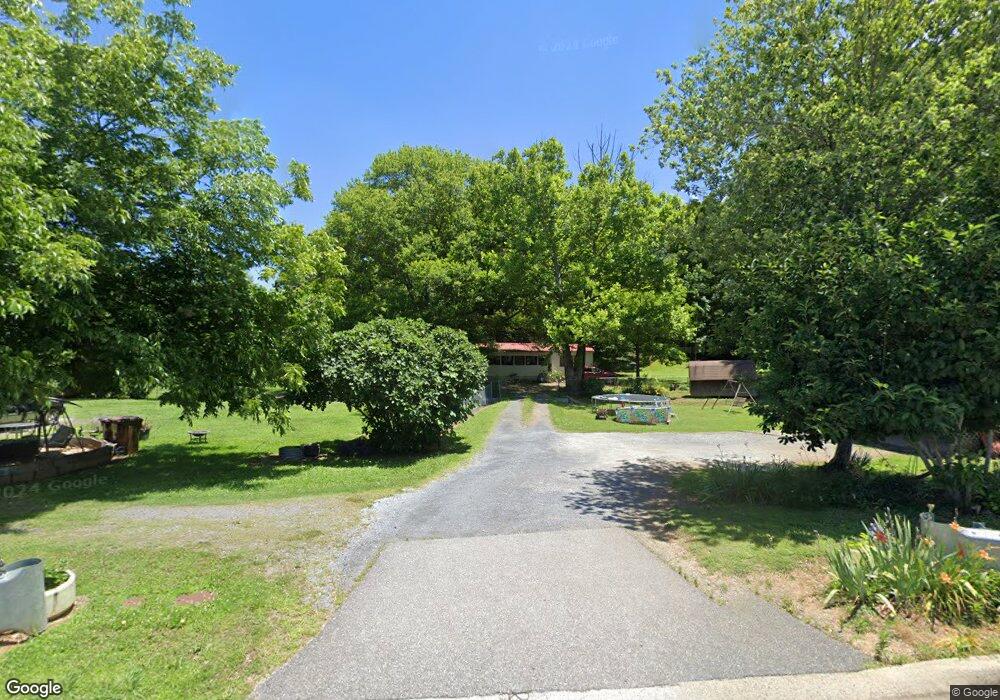
490 Old Highway 41 NW Adairsville, GA 30103
Estimated Value: $218,000 - $257,000
2
Beds
1
Bath
1,189
Sq Ft
$197/Sq Ft
Est. Value
About This Home
This home is located at 490 Old Highway 41 NW, Adairsville, GA 30103 and is currently estimated at $233,833, approximately $196 per square foot. 490 Old Highway 41 NW is a home located in Bartow County with nearby schools including Adairsville Elementary School, Adairsville Middle School, and Adairsville High School.
Ownership History
Date
Name
Owned For
Owner Type
Purchase Details
Closed on
Jul 20, 2005
Sold by
Black Brenda Kay
Bought by
Black Earl Edward
Current Estimated Value
Home Financials for this Owner
Home Financials are based on the most recent Mortgage that was taken out on this home.
Original Mortgage
$65,600
Outstanding Balance
$33,912
Interest Rate
5.51%
Mortgage Type
New Conventional
Estimated Equity
$199,921
Create a Home Valuation Report for This Property
The Home Valuation Report is an in-depth analysis detailing your home's value as well as a comparison with similar homes in the area
Home Values in the Area
Average Home Value in this Area
Purchase History
| Date | Buyer | Sale Price | Title Company |
|---|---|---|---|
| Black Earl Edward | -- | -- | |
| Baker Thomas E | $82,000 | -- |
Source: Public Records
Mortgage History
| Date | Status | Borrower | Loan Amount |
|---|---|---|---|
| Open | Baker Thomas E | $65,600 | |
| Closed | Baker Thomas E | $12,300 |
Source: Public Records
Tax History Compared to Growth
Tax History
| Year | Tax Paid | Tax Assessment Tax Assessment Total Assessment is a certain percentage of the fair market value that is determined by local assessors to be the total taxable value of land and additions on the property. | Land | Improvement |
|---|---|---|---|---|
| 2024 | $1,644 | $67,638 | $18,000 | $49,638 |
| 2023 | $1,644 | $68,694 | $18,000 | $50,694 |
| 2022 | $1,321 | $52,020 | $16,000 | $36,020 |
| 2021 | $1,167 | $43,750 | $16,000 | $27,750 |
| 2020 | $1,056 | $38,442 | $12,000 | $26,442 |
| 2019 | $960 | $34,580 | $8,000 | $26,580 |
| 2018 | $963 | $34,580 | $8,000 | $26,580 |
| 2017 | $968 | $34,580 | $8,000 | $26,580 |
| 2016 | $854 | $30,280 | $6,000 | $24,280 |
| 2015 | $850 | $30,080 | $6,000 | $24,080 |
| 2014 | $853 | $29,240 | $8,000 | $21,240 |
| 2013 | -- | $28,520 | $6,000 | $22,520 |
Source: Public Records
Map
Nearby Homes
- 103 Heritage Dr NW
- 117 Red Maple Way
- 38 Winding Flower Walk
- Oleander Plan at Village Green - Bungalow Series
- Crape Myrtle Plan at Village Green - Bungalow Series
- 105 Village Green Dr NW
- 105 Village Green Dr NW Unit 171
- 107 Village Green Dr NW
- 107 Village Green Dr NW Unit 170
- 109 Village Green Dr NW
- 111 Village Green Dr NW
- 111 Village Green Dr NW Unit 168
- 294 Old Dixie Hwy NW
- 311 Rolling Green Dr NW
- 313 Rolling Green Dr NW
- 315 Rolling Green Dr NW
- 317 Rolling Green Dr NW
- 323 Rolling Green Dr NW
- 141 Village Green Dr NW
- 5194 Joe Frank Harris Pkwy NW
- 490 Old Highway 41 NW
- 486 Old Highway 41 NW
- 494 Old Highway 41 NW
- 49 Howell Bend Rd NW
- 0 Howell Bend Rd NW Unit 7188928
- 0 Howell Bend Rd NW
- 44 Howell Bend Rd NW
- 10 Cedar Ridge NW
- 474 Old Highway 41 NW
- 12 Cedar Ridge NW
- 56 Howell Bend Rd NW
- 14 Cedar Ridge NW
- 475 Old Highway 41 NW
- 16 Cedar Ridge NW
- 473 Old Highway 41 NW
- 111 Heritage Dr NW
- 114 Heritage Dr NW
- 470 Old Highway 41 NW
- 15 Cedar Ridge NW
- 15 Cedar Ridge NW Unit 259