490 Pheasant Ridge Rd Lewisburg, PA 17837
East Buffalo Township NeighborhoodEstimated Value: $296,000 - $304,832
3
Beds
2
Baths
1,344
Sq Ft
$223/Sq Ft
Est. Value
About This Home
This home is located at 490 Pheasant Ridge Rd, Lewisburg, PA 17837 and is currently estimated at $300,208, approximately $223 per square foot. 490 Pheasant Ridge Rd is a home with nearby schools including Kelly Elementary School, Linntown Elementary School, and Donald H. Eichhorn Middle School.
Ownership History
Date
Name
Owned For
Owner Type
Purchase Details
Closed on
Oct 9, 2014
Sold by
Ernst Paul W and Seebold Carolyn R
Bought by
Patterson Sherri L
Current Estimated Value
Purchase Details
Closed on
Jun 15, 1999
Sold by
Ernst Paul R and Ernst Catherine V
Bought by
Ernst Paul R and Ernst Catherine
Home Financials for this Owner
Home Financials are based on the most recent Mortgage that was taken out on this home.
Original Mortgage
$120,000
Interest Rate
6.18%
Mortgage Type
Purchase Money Mortgage
Create a Home Valuation Report for This Property
The Home Valuation Report is an in-depth analysis detailing your home's value as well as a comparison with similar homes in the area
Home Values in the Area
Average Home Value in this Area
Purchase History
| Date | Buyer | Sale Price | Title Company |
|---|---|---|---|
| Patterson Sherri L | $168,000 | None Available | |
| Ernst Paul R | -- | None Available |
Source: Public Records
Mortgage History
| Date | Status | Borrower | Loan Amount |
|---|---|---|---|
| Previous Owner | Ernst Paul R | $120,000 |
Source: Public Records
Tax History Compared to Growth
Tax History
| Year | Tax Paid | Tax Assessment Tax Assessment Total Assessment is a certain percentage of the fair market value that is determined by local assessors to be the total taxable value of land and additions on the property. | Land | Improvement |
|---|---|---|---|---|
| 2025 | $3,830 | $130,500 | $40,600 | $89,900 |
| 2024 | $3,727 | $130,500 | $40,600 | $89,900 |
| 2023 | $3,615 | $130,500 | $40,600 | $89,900 |
| 2022 | $3,608 | $130,500 | $40,600 | $89,900 |
| 2021 | $3,624 | $130,500 | $40,600 | $89,900 |
| 2020 | $3,627 | $130,500 | $40,600 | $89,900 |
| 2019 | $36,540 | $130,500 | $40,600 | $89,900 |
| 2018 | $3,604 | $130,500 | $40,600 | $89,900 |
| 2017 | $3,604 | $130,500 | $40,600 | $89,900 |
| 2016 | $3,467 | $130,500 | $40,600 | $89,900 |
| 2015 | -- | $130,500 | $40,600 | $89,900 |
| 2014 | -- | $157,600 | $66,000 | $91,600 |
Source: Public Records
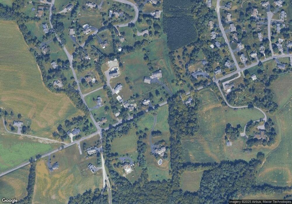
Map
Nearby Homes
- 223 Country Rd
- 211 James Rd
- 96 Dogwood Ln
- 300 Sunnyside Dr
- 36 Classic Hills Dr
- LOT 3 Smoketown Rd
- 2935 Smoketown Rd
- 407 S 20th St
- 2111 Madison Ave
- 169 Windsor Way
- 217 Hardscrabble Ln
- 84 Windsor Way
- 114 Windsor Way
- 237 Hardscrabble Ln
- 137 Valley View Rd
- 692 Beagle Club Rd
- 688 Beagle Club Rd
- 612 Stein Ln
- 85 Poplar Rd
- 609 Hardscrabble Ln
- 520 Pheasant Ridge Rd
- 438 Pheasant Ridge Rd
- 548 Pheasant Ridge Rd
- 413 Pheasant Ridge Rd
- 578 Pheasant Ridge Rd
- 50 Country Rd
- 479 Pheasant Ridge Rd
- 78 Country Rd
- 74 Country Rd
- 400 Pheasant Ridge Rd
- 376 Pheasant Ridge Rd
- 100 Country Rd
- 517 Country Rd
- 55 Turtle Creek Rd
- 557 Country Rd
- 475 Country Rd
- 625 Pheasant Ridge Rd
- 595 Country Rd
- 632 Pheasant Ridge Rd
- 340 Pheasant Ridge Rd