490 Phillips Rd Colquitt, GA 39837
Estimated Value: $82,000 - $472,708
3
Beds
1
Bath
1,371
Sq Ft
$203/Sq Ft
Est. Value
About This Home
This home is located at 490 Phillips Rd, Colquitt, GA 39837 and is currently estimated at $278,927, approximately $203 per square foot. 490 Phillips Rd is a home located in Miller County with nearby schools including Miller County Elementary School, Miller County Middle School, and Miller County High School.
Ownership History
Date
Name
Owned For
Owner Type
Purchase Details
Closed on
Jun 3, 2013
Sold by
Westbrook L J
Bought by
Westbrook Jacob
Current Estimated Value
Home Financials for this Owner
Home Financials are based on the most recent Mortgage that was taken out on this home.
Original Mortgage
$161,000
Outstanding Balance
$113,912
Interest Rate
3.37%
Mortgage Type
New Conventional
Estimated Equity
$165,015
Purchase Details
Closed on
Apr 12, 1984
Bought by
Westbrook L J
Create a Home Valuation Report for This Property
The Home Valuation Report is an in-depth analysis detailing your home's value as well as a comparison with similar homes in the area
Home Values in the Area
Average Home Value in this Area
Purchase History
| Date | Buyer | Sale Price | Title Company |
|---|---|---|---|
| Westbrook Jacob | $2,890 | -- | |
| Cleveland G Mark | $169,018 | -- | |
| Westbrook L J | -- | -- |
Source: Public Records
Mortgage History
| Date | Status | Borrower | Loan Amount |
|---|---|---|---|
| Open | Cleveland G Mark | $161,000 |
Source: Public Records
Tax History Compared to Growth
Tax History
| Year | Tax Paid | Tax Assessment Tax Assessment Total Assessment is a certain percentage of the fair market value that is determined by local assessors to be the total taxable value of land and additions on the property. | Land | Improvement |
|---|---|---|---|---|
| 2024 | $682 | $20,290 | $2,490 | $17,800 |
| 2023 | $558 | $15,653 | $2,490 | $13,163 |
| 2022 | $460 | $12,032 | $2,490 | $9,542 |
| 2021 | $419 | $13,032 | $2,490 | $10,542 |
| 2020 | $419 | $13,032 | $2,490 | $10,542 |
| 2019 | $420 | $13,032 | $2,490 | $10,542 |
| 2018 | $481 | $13,032 | $2,490 | $10,542 |
| 2017 | $449 | $12,176 | $2,490 | $9,686 |
| 2016 | $377 | $12,177 | $2,490 | $9,686 |
| 2015 | -- | $17,987 | $4,280 | $13,707 |
| 2014 | -- | $17,987 | $4,280 | $13,707 |
| 2013 | -- | $42,506 | $28,274 | $14,232 |
Source: Public Records
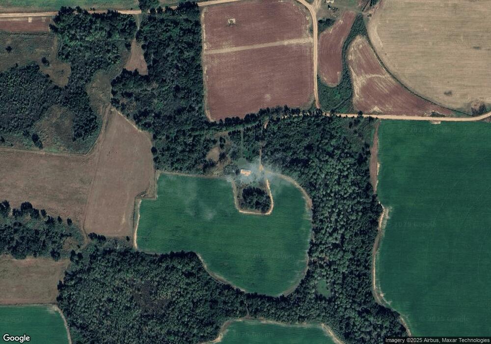
Map
Nearby Homes
- 1545 Phillipsburg Rd
- 113 Crooked Oak Ln
- 745 Harmony Church Rd
- 430 Cox Rd
- 7855 Joe Bryan St
- Pullen Rd
- 8667 Joe Bryan St
- 000 Georgia 200
- 0 Big Pond Rd
- 000 Phillipsburg Rd
- 74 Harmony Church Rd
- 2400 Roe Taylor Rd
- 300 N First St
- 1563 Ga Highway 27 N
- 570 E Pine St
- 210 N First St
- 157 E Pine St
- 356 E Main St
- 2835 Georgia 91
- US 27 Us Highway 27
- 476 Phillips Rd
- 119 Lott Rd
- 134 Tom Tabb Rd
- 1789 Phillips Rd
- 328 Cleveland Rd
- 138 Lott Rd
- 165 Lott Rd
- 735 Jeterville Rd
- 347 Cleveland Rd
- 43 Lott Rd
- 4720 Killebrew Rd
- 28 Gordon Ln
- 362 Cleveland Rd
- 205 Lovering Rd
- 403 Cleveland Rd
- 1100 Tom Tabb Rd
- 1188 Tom Tabb Rd
- 4749 Killebrew Rd
- 1410 Tom Tabb Rd
- 5042 Killebrew Rd