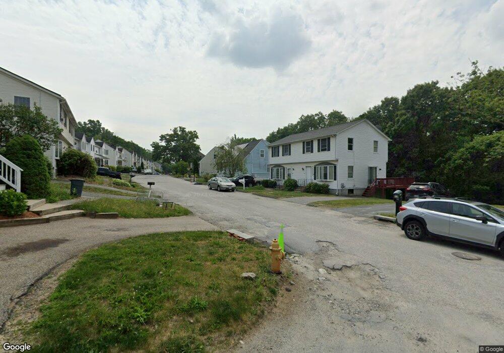
490 Plantation St Worcester, MA 01605
Estimated Value: $398,000 - $614,000
4
Beds
2
Baths
1,497
Sq Ft
$331/Sq Ft
Est. Value
About This Home
This home is located at 490 Plantation St, Worcester, MA 01605 and is currently estimated at $495,164, approximately $330 per square foot. 490 Plantation St is a home located in Worcester County with nearby schools including Jacob Hiatt Magnet School, Chandler Magnet, and Lake View Elementary School.
Ownership History
Date
Name
Owned For
Owner Type
Purchase Details
Closed on
Jul 29, 2003
Sold by
Tremblay Leon G and Tremblay Patricia M
Bought by
Soares Armando and Soares Sandra M
Current Estimated Value
Home Financials for this Owner
Home Financials are based on the most recent Mortgage that was taken out on this home.
Original Mortgage
$200,450
Outstanding Balance
$86,017
Interest Rate
5.27%
Mortgage Type
Purchase Money Mortgage
Estimated Equity
$409,147
Purchase Details
Closed on
Jun 1, 1992
Sold by
Wigwam Assoc Inc
Bought by
Tremblay Leon G and Stuart Patricia
Home Financials for this Owner
Home Financials are based on the most recent Mortgage that was taken out on this home.
Original Mortgage
$106,750
Interest Rate
8.7%
Mortgage Type
Purchase Money Mortgage
Create a Home Valuation Report for This Property
The Home Valuation Report is an in-depth analysis detailing your home's value as well as a comparison with similar homes in the area
Purchase History
| Date | Buyer | Sale Price | Title Company |
|---|---|---|---|
| Soares Armando | $211,000 | -- | |
| Tremblay Leon G | $107,000 | -- |
Source: Public Records
Mortgage History
| Date | Status | Borrower | Loan Amount |
|---|---|---|---|
| Open | Soares Armando | $200,450 | |
| Previous Owner | Tremblay Leon G | $115,200 | |
| Previous Owner | Tremblay Leon G | $103,170 | |
| Previous Owner | Tremblay Leon G | $106,750 |
Source: Public Records
Tax History
| Year | Tax Paid | Tax Assessment Tax Assessment Total Assessment is a certain percentage of the fair market value that is determined by local assessors to be the total taxable value of land and additions on the property. | Land | Improvement |
|---|---|---|---|---|
| 2025 | $5,504 | $417,300 | $123,800 | $293,500 |
| 2024 | $5,387 | $391,800 | $123,800 | $268,000 |
| 2023 | $5,155 | $359,500 | $106,600 | $252,900 |
| 2022 | $4,733 | $311,200 | $85,300 | $225,900 |
| 2021 | $4,705 | $289,000 | $68,200 | $220,800 |
| 2020 | $4,570 | $268,800 | $68,000 | $200,800 |
| 2019 | $4,424 | $245,800 | $65,700 | $180,100 |
| 2018 | $4,436 | $234,600 | $65,700 | $168,900 |
| 2017 | $4,240 | $220,600 | $65,700 | $154,900 |
| 2016 | $4,318 | $209,500 | $54,500 | $155,000 |
| 2015 | $4,205 | $209,500 | $54,500 | $155,000 |
| 2014 | $4,094 | $209,500 | $54,500 | $155,000 |
Source: Public Records
Map
Nearby Homes
- 91-93 Natural History Dr
- 2 Teconnett Path
- 64 Wauwinet Rd
- 340 Lake Ave N
- 29 Dominion Rd
- 190 Dominion Rd
- 7 Eaglehead Terrace Unit 6
- 17 Goucher Ave
- 655 Plantation St Unit 20B
- 40 Phillips Ave
- 19 Marietta Ave
- 22 Huron Ave
- 35 Dustin St
- 39 Bullard Ave
- 65 Lake Ave Unit 1008
- 65 Lake Ave Unit 830
- 65 Lake Ave Unit 510
- 6 Selina St
- 51 Alvarado Ave Unit 204
- 2 Selden St
- 494 Plantation St
- 488 Plantation St
- 496 Plantation St
- 482 Plantation St
- 498 Plantation St
- 38 Wigwam Hill Dr
- 480 Plantation St
- 42 Wigwam Hill Dr
- 42 Wigwam Hill Dr Unit 1
- 36 Wigwam Hill Dr
- 40 Wigwam Hill Dr
- 34 Wigwam Hill Dr
- 000 Wigwam Hill Dr
- 44 Wigwam Hill Dr
- 32 Wigwam Hill Dr
- 46 Wigwam Hill Dr
- 478 Plantation St
- 502 Plantation St
- 30 Wigwam Hill Dr
- 48 Wigwam Hill Dr
Your Personal Tour Guide
Ask me questions while you tour the home.