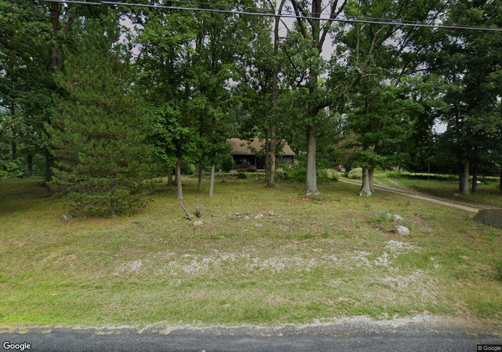
490 Ridge Rd Gettysburg, PA 17325
Estimated Value: $285,168 - $332,000
1
Bed
1
Bath
1,333
Sq Ft
$231/Sq Ft
Est. Value
About This Home
This home is located at 490 Ridge Rd, Gettysburg, PA 17325 and is currently estimated at $308,542, approximately $231 per square foot. 490 Ridge Rd is a home located in Adams County with nearby schools including Gettysburg Area High School.
Ownership History
Date
Name
Owned For
Owner Type
Purchase Details
Closed on
Feb 28, 2017
Sold by
Small Douglas A
Bought by
Mellott Lisa Elaine
Current Estimated Value
Home Financials for this Owner
Home Financials are based on the most recent Mortgage that was taken out on this home.
Original Mortgage
$156,491
Outstanding Balance
$129,843
Interest Rate
4.19%
Mortgage Type
FHA
Estimated Equity
$178,699
Purchase Details
Closed on
Feb 21, 2002
Bought by
Small Douglas A
Create a Home Valuation Report for This Property
The Home Valuation Report is an in-depth analysis detailing your home's value as well as a comparison with similar homes in the area
Home Values in the Area
Average Home Value in this Area
Purchase History
| Date | Buyer | Sale Price | Title Company |
|---|---|---|---|
| Mellott Lisa Elaine | $190,000 | None Available | |
| Small Douglas A | $97,000 | -- |
Source: Public Records
Mortgage History
| Date | Status | Borrower | Loan Amount |
|---|---|---|---|
| Open | Mellott Lisa Elaine | $156,491 |
Source: Public Records
Tax History Compared to Growth
Tax History
| Year | Tax Paid | Tax Assessment Tax Assessment Total Assessment is a certain percentage of the fair market value that is determined by local assessors to be the total taxable value of land and additions on the property. | Land | Improvement |
|---|---|---|---|---|
| 2025 | $3,775 | $202,300 | $81,300 | $121,000 |
| 2024 | $3,611 | $202,300 | $81,300 | $121,000 |
| 2023 | $3,560 | $202,300 | $81,300 | $121,000 |
| 2022 | $3,529 | $202,300 | $81,300 | $121,000 |
| 2021 | $3,461 | $202,300 | $81,300 | $121,000 |
| 2020 | $3,461 | $202,300 | $81,300 | $121,000 |
| 2019 | $3,439 | $202,300 | $81,300 | $121,000 |
| 2018 | $3,420 | $202,300 | $81,300 | $121,000 |
| 2017 | $3,233 | $202,400 | $81,300 | $121,100 |
| 2016 | -- | $202,400 | $81,300 | $121,100 |
| 2015 | -- | $202,400 | $81,300 | $121,100 |
| 2014 | -- | $202,400 | $81,300 | $121,100 |
Source: Public Records
Map
Nearby Homes
- 437 Ridge Rd
- 949 Ridge Rd
- 105 Round Top Ln Unit 8
- 90 Knight Rd Unit 55
- 2465 Emmitsburg Rd
- 2691 Emmitsburg Rd
- 175 Chapel Road Extension
- 374 Cunningham Rd
- 64 Cooper Ln
- 0 Unit PAAD2015388
- 8 N Chamberlain Ct
- 202 Savannah Dr
- 15 Laurel Hill Ct Unit 26
- 4 Cottage Ln
- 0 Links at Gettysburg - South Bailey Court - Lot 7 Unit PAAD2015050
- 126 Bridge Valley Rd
- 124 Bridge Valley Rd
- 130 Bridge Valley Rd
- 0 Links at Gettysburg - South Bailey Court - Lot 18 Unit PAAD2015448
- 0 Links at Gettysburg - South Bailey Court - Lot 6 Unit PAAD2014974
- 480 Ridge Rd Unit 2
- 510 Ridge Rd
- 519 Ridge Rd
- 470 Ridge Rd
- 475 Ridge Rd
- 458 Ridge Rd
- 451 Ridge Rd
- 430 Ridge Rd
- 423 Ridge Rd Unit 4
- 573 Ridge Rd Unit 3
- 409 Ridge Rd
- 414 Ridge Rd
- 571 Ridge Rd Unit 6
- 399 Ridge Rd
- 396 Ridge Rd
- 385 Ridge Rd
- 386 Ridge Rd Unit 5
- 609 Ridge Rd Unit 1A
- 451 Barlow Greenmount Rd
- 381 Ridge Rd