Estimated Value: $138,000
2
Beds
--
Bath
806
Sq Ft
$171/Sq Ft
Est. Value
About This Home
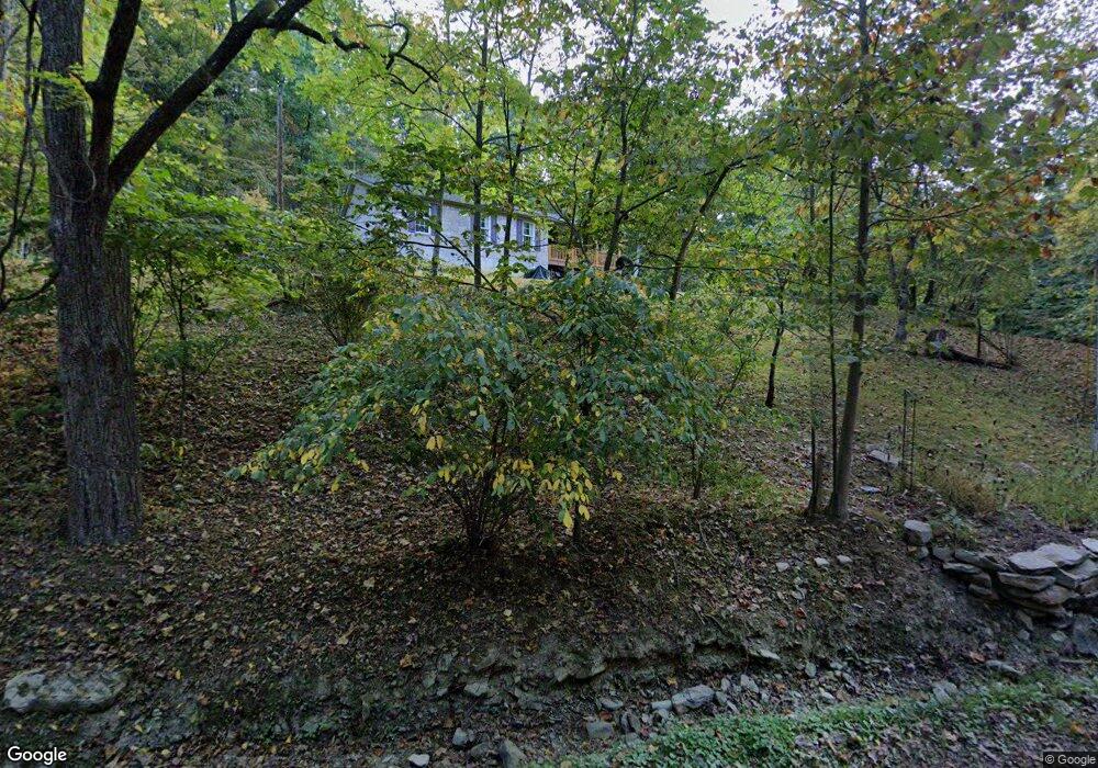
This home is located at 490 Shawnee Rd, Otway, OH 45657 and is currently estimated at $138,000, approximately $171 per square foot. 490 Shawnee Rd is a home located in Adams County with nearby schools including West Union Elementary School and West Union High School.
Ownership History
Date
Name
Owned For
Owner Type
Purchase Details
Closed on
Mar 21, 2024
Sold by
Browning Timothy Jack and Browning Lisa Al
Bought by
Browning Timothy Jack and Browning Lisa M
Current Estimated Value
Purchase Details
Closed on
Mar 25, 2016
Sold by
Browning Lisa
Bought by
Lisa Browning and Timothy Browning
Purchase Details
Closed on
Dec 17, 2015
Sold by
Browning Timothy Jack and Browning Lisa M
Bought by
Browning Timothy Jack and Browning Lisa M
Purchase Details
Closed on
Apr 4, 2001
Sold by
Cash Elsie M
Bought by
Browning Lisa
Purchase Details
Closed on
Jan 1, 1990
Bought by
Cash Elsie M
Create a Home Valuation Report for This Property
The Home Valuation Report is an in-depth analysis detailing your home's value as well as a comparison with similar homes in the area
Home Values in the Area
Average Home Value in this Area
Purchase History
| Date | Buyer | Sale Price | Title Company |
|---|---|---|---|
| Browning Timothy Jack | -- | None Listed On Document | |
| Browning Timothy Jack | -- | None Listed On Document | |
| Lisa Browning | -- | -- | |
| Browning Timothy Jack | -- | None Available | |
| Browning Lisa | $16,800 | -- | |
| Cash Elsie M | -- | -- |
Source: Public Records
Tax History Compared to Growth
Tax History
| Year | Tax Paid | Tax Assessment Tax Assessment Total Assessment is a certain percentage of the fair market value that is determined by local assessors to be the total taxable value of land and additions on the property. | Land | Improvement |
|---|---|---|---|---|
| 2024 | $133 | $7,180 | $7,180 | $0 |
| 2023 | $134 | $7,180 | $7,180 | $0 |
| 2022 | $266 | $5,430 | $5,430 | $0 |
| 2021 | $217 | $5,430 | $5,430 | $0 |
| 2020 | $222 | $5,430 | $5,430 | $0 |
| 2019 | $228 | $5,430 | $5,430 | $0 |
| 2018 | $205 | $4,940 | $4,940 | $0 |
| 2017 | $241 | $5,880 | $5,880 | $0 |
| 2016 | $205 | $10,220 | $10,220 | $0 |
| 2015 | $394 | $10,080 | $9,030 | $1,050 |
| 2014 | $388 | $9,910 | $8,860 | $1,050 |
Source: Public Records
Map
Nearby Homes
- 4345 Mt Unger Rd
- 0 Golley Rd
- 2472 Rocky Fork Rd
- 0 Blue Creek Rd
- 12808 Ohio 348
- 12808 Ohio 348
- 0 Oppy Hill Rd
- Oppy Hill Rd Lot Unit Wp001
- 0 St Rt 348 Unit 1855893
- 7851 Ohio 348
- 8.307 Ac Churn Creek Rd
- 858 Randalls Run Rd
- 2603 Cassel Run Rd
- 9 Coon Hollow Rd
- acres Coon Hollow Rd
- 0 Coon Hollow Rd Unit 947967
- 0 Beech Fork Rd Unit 5157055
- 0 Beech Fork Rd Unit 225044315
- 2314 White Oak Rd
- 1460 Hamilton Rd
- 390 Shawnee Rd
- 695 Shawnee Rd
- 784 Shawnee Rd
- 245 Shawnee Rd
- 3931 Mount Unger Rd
- 52.5ac Mount Unger Rd
- 1679 Mount Unger Rd
- 1244 Mount Unger Rd
- 2589 Mount Unger Rd
- 90 Shawnee Rd
- 894 Shawnee Rd
- 0 Mount Unger Rd
- 1927 Mount Unger Rd
- 4345 Mount Unger Rd
- 3596 Mount Unger Rd
- 2589 Mount Unger Rd
- 3453 Mount Unger Rd
- 4140 Mt Unger Rd
- 4140 Mount Unger Rd
- 26ac Mt Unger Rd