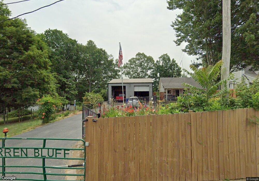
490 Silverside Dr Scottsville, KY 42164
Estimated Value: $210,000 - $267,000
2
Beds
1
Bath
1,296
Sq Ft
$185/Sq Ft
Est. Value
About This Home
This home is located at 490 Silverside Dr, Scottsville, KY 42164 and is currently estimated at $239,317, approximately $184 per square foot. 490 Silverside Dr is a home located in Allen County with nearby schools including Allen County Primary Center.
Ownership History
Date
Name
Owned For
Owner Type
Purchase Details
Closed on
Aug 31, 2023
Sold by
Dully D A D and Dully Brian
Bought by
Harrison Ronald and Harrison Cora
Current Estimated Value
Purchase Details
Closed on
Mar 4, 2019
Sold by
Performance Prop Mgmt Llc
Bought by
Dully D A D and Dully Brian
Home Financials for this Owner
Home Financials are based on the most recent Mortgage that was taken out on this home.
Original Mortgage
$110,700
Interest Rate
4.4%
Mortgage Type
Construction
Create a Home Valuation Report for This Property
The Home Valuation Report is an in-depth analysis detailing your home's value as well as a comparison with similar homes in the area
Home Values in the Area
Average Home Value in this Area
Purchase History
| Date | Buyer | Sale Price | Title Company |
|---|---|---|---|
| Harrison Ronald | $215,000 | -- | |
| Dully D A D | $123,000 | Foreman Watson Land Title Llc |
Source: Public Records
Mortgage History
| Date | Status | Borrower | Loan Amount |
|---|---|---|---|
| Previous Owner | Dully D A D | $110,700 |
Source: Public Records
Tax History Compared to Growth
Tax History
| Year | Tax Paid | Tax Assessment Tax Assessment Total Assessment is a certain percentage of the fair market value that is determined by local assessors to be the total taxable value of land and additions on the property. | Land | Improvement |
|---|---|---|---|---|
| 2025 | $1,920 | $215,000 | $0 | $0 |
| 2024 | $2,006 | $215,000 | $0 | $0 |
| 2023 | $744 | $123,000 | $0 | $0 |
| 2022 | $821 | $123,000 | $0 | $0 |
| 2021 | $852 | $123,000 | $0 | $0 |
| 2020 | $873 | $123,000 | $0 | $0 |
| 2019 | $1,300 | $123,000 | $0 | $0 |
| 2018 | -- | $118,000 | $0 | $0 |
| 2017 | -- | $121,200 | $11,000 | $110,200 |
| 2016 | -- | $7,000 | $7,000 | $0 |
Source: Public Records
Map
Nearby Homes
- 465 Silverside Dr
- Lot 74A/94A Silverside Dr
- 580 Walleye Way
- 467 Largemouth Dr
- lot 45A Walleye Way
- Lot 44A Walleye Way
- 23 Walleye Way
- 45A Walleye Way
- lot 23A Walleye Way
- Lot 47A Walleye Way
- 44A Walleye Way
- 245 Smallmouth St
- 0 Largemouth Dr
- 128 Red Horse Ave
- 0 Muskie Way Unit SC46925
- 0 Muskie Way Unit RTC2928306
- 113 Redfin Rd
- 71 Bull Frog Trail
- 694 Eagle Point Dr
- 53 Eagle Point Dr
- 490 Silverside Dr
- 490 Silverside Dr Unit 2
- 496 Silverside Dr
- 484 Silverside Dr
- 515 Walleye Way
- 495 Walleye Way
- 415 Silverside Dr
- 575 Silverside Dr
- 402 Silverside Dr
- 525 Silverside Dr
- 602 Silverside Dr
- Lot 74A Silverside Dr
- Lot 913 Silverside Dr
- 94 A Silverside Dr Unit 74 A Walleye ( Parkv
- 580 Walleye Way Unit 36A 56A
- 340 Sauger Dr
- 226 Chubb Ln
- 220 Chubb Ln
- 206 Chubb Ln
- 356 Silverside Dr