490 Smith Cir Martin, GA 30557
Estimated Value: $474,371 - $561,000
4
Beds
4
Baths
2,320
Sq Ft
$218/Sq Ft
Est. Value
About This Home
This home is located at 490 Smith Cir, Martin, GA 30557 and is currently estimated at $505,343, approximately $217 per square foot. 490 Smith Cir is a home located in Stephens County with nearby schools including Stephens County High School.
Ownership History
Date
Name
Owned For
Owner Type
Purchase Details
Closed on
Jun 5, 2020
Sold by
Thompson William H
Bought by
Herrington Lloyd
Current Estimated Value
Home Financials for this Owner
Home Financials are based on the most recent Mortgage that was taken out on this home.
Original Mortgage
$238,410
Outstanding Balance
$210,396
Interest Rate
3.2%
Mortgage Type
New Conventional
Estimated Equity
$294,947
Create a Home Valuation Report for This Property
The Home Valuation Report is an in-depth analysis detailing your home's value as well as a comparison with similar homes in the area
Purchase History
| Date | Buyer | Sale Price | Title Company |
|---|---|---|---|
| Herrington Lloyd | $264,900 | -- |
Source: Public Records
Mortgage History
| Date | Status | Borrower | Loan Amount |
|---|---|---|---|
| Open | Herrington Lloyd | $238,410 |
Source: Public Records
Tax History
| Year | Tax Paid | Tax Assessment Tax Assessment Total Assessment is a certain percentage of the fair market value that is determined by local assessors to be the total taxable value of land and additions on the property. | Land | Improvement |
|---|---|---|---|---|
| 2025 | $3,714 | $135,316 | $12,784 | $122,532 |
| 2024 | $2,818 | $92,552 | $12,784 | $79,768 |
| 2023 | $2,585 | $86,845 | $12,784 | $74,061 |
| 2022 | $2,477 | $83,189 | $12,784 | $70,405 |
| 2021 | $2,433 | $77,815 | $12,784 | $65,031 |
| 2020 | $2,430 | $76,950 | $12,784 | $64,166 |
| 2019 | $2,440 | $76,950 | $12,784 | $64,166 |
| 2018 | $2,440 | $76,950 | $12,784 | $64,166 |
| 2017 | $2,383 | $73,974 | $12,784 | $61,190 |
| 2016 | $2,346 | $73,974 | $12,784 | $61,190 |
| 2015 | $2,446 | $73,660 | $12,784 | $60,876 |
| 2014 | $2,111 | $62,515 | $12,784 | $49,731 |
| 2013 | -- | $63,205 | $12,784 | $50,420 |
Source: Public Records
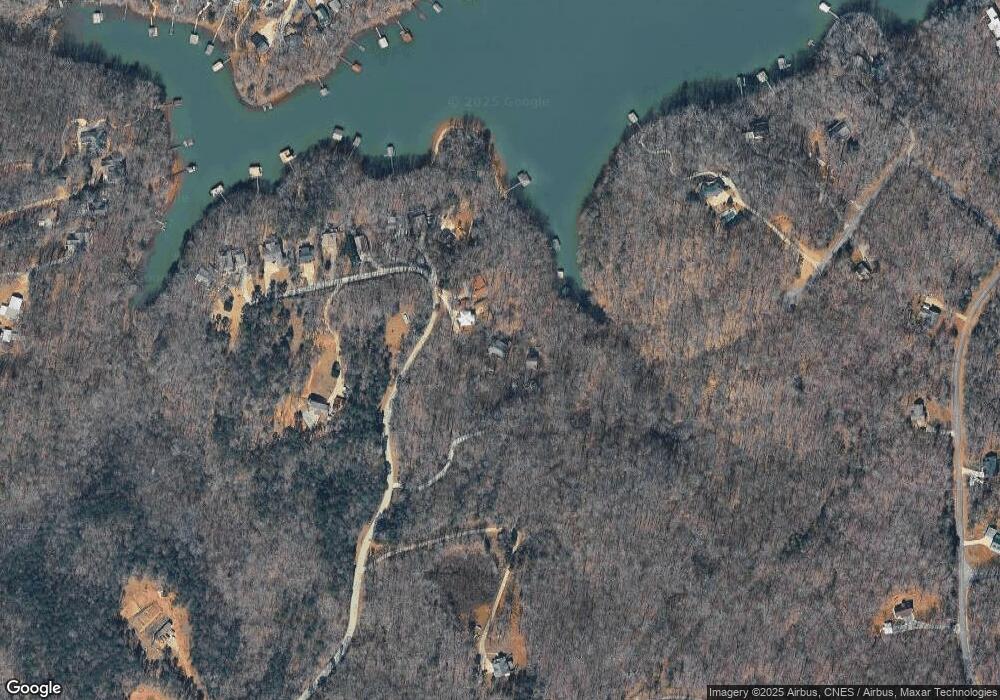
Map
Nearby Homes
- 366 Shore Crest Dr
- 275 Shore Crest Dr
- 386 Shore Crest Dr
- 280 Shore Crest Dr
- 85 Peninsula Point
- 113 Peninsula Point
- 243 Continental Dr
- 81 Continental Dr
- 198 Brookwood Dr
- 535 Brookwood Rd
- 277 Brookwood Rd
- 132 Brookwood Dr
- 90 Brookwood Dr
- 39 Biscayne Dr
- 221 Biscayne Dr
- 231 Biscayne Dr
- 80 Biscayne Dr
- 331 Biscayne Dr
- 228 Biscayne Dr
- 572 Imperial Dr
- 430 Smith Cir
- 428 Smith Cir
- 0 Smith Cir Unit 7268007
- 0 Smith Cir Unit 7558177
- 0 Smith Cir Unit LOT B 10331104
- 556 Smith Cir
- 552 Smith Cir
- 222 Smith Cir
- 560 Smith Cir
- 566 Smith Cir
- 219 Smith Rd
- 379 Smith Cir
- 604 Smith Cir Unit 78
- 604 Smith Cir
- 219 Smith Cir Unit H
- LOT 49 Country Club Trail
- 80 Country Lake Trail
- 626 Smith Cir
- 642 Smith Cir
- 0 Highland Manor Unit 3017046
Your Personal Tour Guide
Ask me questions while you tour the home.