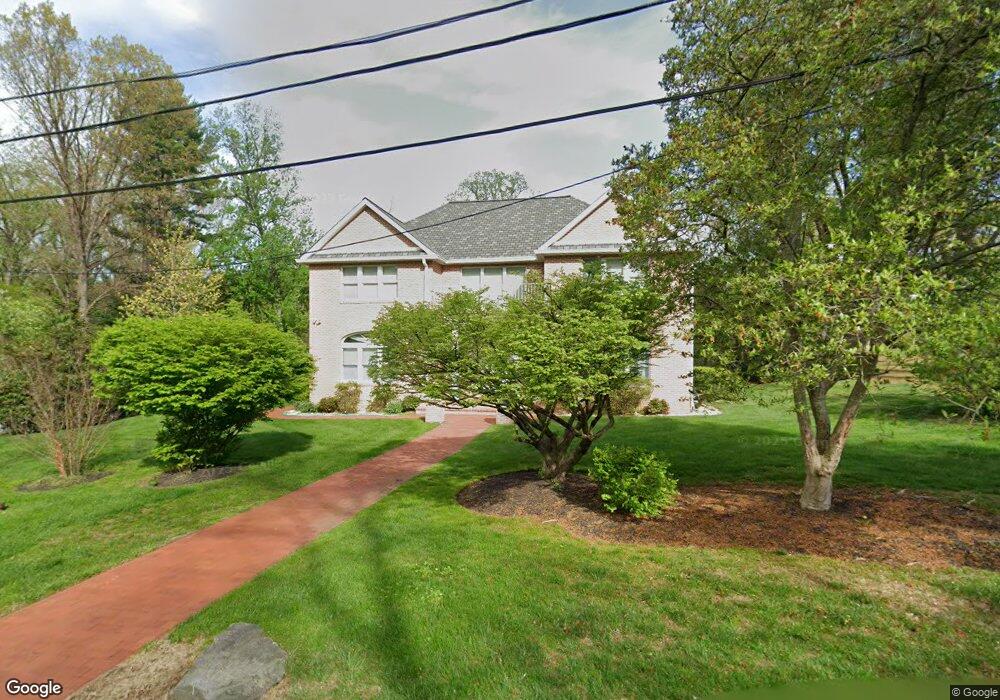
490 Telner St Philadelphia, PA 19118
Chestnut Hill NeighborhoodEstimated Value: $1,212,620 - $1,375,000
4
Beds
2
Baths
3,096
Sq Ft
$419/Sq Ft
Est. Value
About This Home
This home is located at 490 Telner St, Philadelphia, PA 19118 and is currently estimated at $1,297,155, approximately $418 per square foot. 490 Telner St is a home located in Philadelphia County with nearby schools including Henry H. Houston School, Roxborough High School, and Renaissance Charter School.
Ownership History
Date
Name
Owned For
Owner Type
Purchase Details
Closed on
Mar 21, 2002
Sold by
Parvaneh Samadi Ahmad and Parvaneh Ravandoost
Bought by
Parvaneh Samadi Ahmad and Parvaneh Ravandoost
Current Estimated Value
Home Financials for this Owner
Home Financials are based on the most recent Mortgage that was taken out on this home.
Original Mortgage
$210,000
Interest Rate
6.85%
Create a Home Valuation Report for This Property
The Home Valuation Report is an in-depth analysis detailing your home's value as well as a comparison with similar homes in the area
Home Values in the Area
Average Home Value in this Area
Purchase History
| Date | Buyer | Sale Price | Title Company |
|---|---|---|---|
| Parvaneh Samadi Ahmad | -- | -- |
Source: Public Records
Mortgage History
| Date | Status | Borrower | Loan Amount |
|---|---|---|---|
| Closed | Parvaneh Samadi Ahmad | $210,000 |
Source: Public Records
Tax History Compared to Growth
Tax History
| Year | Tax Paid | Tax Assessment Tax Assessment Total Assessment is a certain percentage of the fair market value that is determined by local assessors to be the total taxable value of land and additions on the property. | Land | Improvement |
|---|---|---|---|---|
| 2025 | $14,323 | $1,127,300 | $225,460 | $901,840 |
| 2024 | $14,323 | $1,127,300 | $225,460 | $901,840 |
| 2023 | $14,323 | $1,023,200 | $204,640 | $818,560 |
| 2022 | $10,962 | $978,200 | $204,640 | $773,560 |
| 2021 | $11,592 | $0 | $0 | $0 |
| 2020 | $11,592 | $0 | $0 | $0 |
| 2019 | $12,098 | $0 | $0 | $0 |
| 2018 | $9,012 | $0 | $0 | $0 |
| 2017 | $9,012 | $0 | $0 | $0 |
| 2016 | $8,592 | $0 | $0 | $0 |
| 2015 | $8,225 | $0 | $0 | $0 |
| 2014 | -- | $643,800 | $278,524 | $365,276 |
| 2012 | -- | $98,240 | $18,624 | $79,616 |
Source: Public Records
Map
Nearby Homes
- 530-536 W Moreland Ave
- 318 W Springfield Ave
- 7330 Bryan St
- 7213 Cresheim Rd
- 358 W Mount Airy Ave
- 109 W Moreland Ave
- 7141 Cresheim Rd
- 7600 Germantown Ave
- 8023 Seminole St
- 442 Wellesley Rd
- 439 W Durham St
- 168 W Durham St
- 7510 Boyer St
- 121 W Mount Pleasant Ave
- 7809 Roanoke St
- 7019 Pipers Glen Way
- 7100 Germantown Ave
- 7005 Pipers Glen Way
- 116 W Sedgwick St
- 60 E Durham St
- 7600 Huron St
- 7502 Saint Martins Ln
- 500 Telner St
- 534 Telner St
- 7616 Huron St
- 507 Telner St
- 7504 Saint Martins Ln
- 504 W Mermaid Ln
- 512 Telner St
- 521 Telner St
- 520 Telner St
- 510 W Mermaid Ln
- 519 Telner St
- 7512 Saint Martins Ln
- 7615 Huron St
- 501 W Mermaid Ln
- 505 W Mermaid Ln
- 420 W Mermaid Ln
- 424 W Mermaid Ln
- 418 W Mermaid Ln