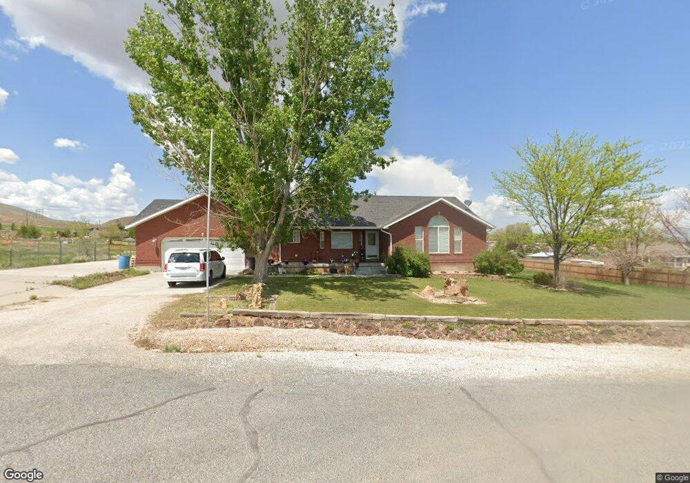
490 W 130 S Aurora, UT 84620
Estimated Value: $429,000 - $498,000
Studio
1
Bath
1,608
Sq Ft
$285/Sq Ft
Est. Value
About This Home
This home is located at 490 W 130 S, Aurora, UT 84620 and is currently estimated at $457,576, approximately $284 per square foot. 490 W 130 S is a home with nearby schools including Salina School, North Sevier Middle School, and North Sevier High School.
Ownership History
Date
Name
Owned For
Owner Type
Purchase Details
Closed on
May 25, 2011
Sold by
Prause James R and Prause Glenda
Bought by
Prause James R and Prause Glenda
Current Estimated Value
Purchase Details
Closed on
Oct 3, 2007
Sold by
Hyatt James L and Hyatt Lynn C
Bought by
Prause James R and Prause Glenda
Purchase Details
Closed on
Jul 28, 2006
Sold by
Aitken Douglas J and Aitken Marcie D
Bought by
Hyatt James L and Hyatt Lynn C
Create a Home Valuation Report for This Property
The Home Valuation Report is an in-depth analysis detailing your home's value as well as a comparison with similar homes in the area
Purchase History
| Date | Buyer | Sale Price | Title Company |
|---|---|---|---|
| Prause James R | -- | -- | |
| Prause James R | -- | First American Title Insuran | |
| Hyatt James L | -- | First American Title Ins Age |
Source: Public Records
Tax History
| Year | Tax Paid | Tax Assessment Tax Assessment Total Assessment is a certain percentage of the fair market value that is determined by local assessors to be the total taxable value of land and additions on the property. | Land | Improvement |
|---|---|---|---|---|
| 2025 | $2,099 | $241,397 | $35,049 | $206,348 |
| 2024 | $2,099 | $243,112 | $32,453 | $210,659 |
| 2023 | $2,155 | $249,981 | $30,128 | $219,853 |
| 2022 | $2,288 | $229,638 | $26,527 | $203,111 |
| 2021 | $1,949 | $162,480 | $16,459 | $146,021 |
| 2020 | $1,681 | $131,614 | $16,459 | $115,155 |
| 2019 | $1,546 | $129,300 | $16,460 | $112,840 |
| 2018 | $1,491 | $110,780 | $15,680 | $95,100 |
| 2017 | $1,469 | $104,270 | $15,680 | $88,590 |
| 2016 | $1,119 | $100,650 | $0 | $0 |
| 2015 | $1,119 | $100,650 | $0 | $0 |
| 2014 | $1,119 | $101,540 | $0 | $0 |
Source: Public Records
Map
Nearby Homes
- 111 S 200 W
- 376 W 200 N
- 57 N 100 W
- 40 N 100 W
- 75 E 200 N
- 268 S 250 E
- 117 E 350 N
- 2200 N Hwy 260 (Approximately) W
- 2203 S 1770 W Unit 1
- 79 S 250 E
- 2720 N 250 E Unit 116
- 305 E 2690 N
- 2220 N State St Unit 14
- 1598 N North State St
- 36 W 1420 N
- 625 W Main St
- Tbd S State St Unit LotWP001
- 583 W 125 N
- 630 W 285 N
- 268 N Salina Creek Dr
Your Personal Tour Guide
Ask me questions while you tour the home.