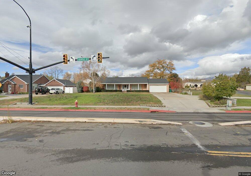
490 W Gentile St Layton, UT 84041
Estimated Value: $605,000 - $741,269
4
Beds
2
Baths
2,844
Sq Ft
$245/Sq Ft
Est. Value
About This Home
This home is located at 490 W Gentile St, Layton, UT 84041 and is currently estimated at $695,817, approximately $244 per square foot. 490 W Gentile St is a home located in Davis County with nearby schools including Layton Elementary School, Fairfield Junior High School, and Layton High School.
Ownership History
Date
Name
Owned For
Owner Type
Purchase Details
Closed on
Oct 1, 2025
Sold by
Terry D Smedley Family Trust and Smedley Terry D
Bought by
Barlow Jennifer E
Current Estimated Value
Purchase Details
Closed on
Sep 25, 1998
Sold by
Smedley Terry D and Smedley Susanne S
Bought by
Smedley Terry D and Smedley Susanne S
Home Financials for this Owner
Home Financials are based on the most recent Mortgage that was taken out on this home.
Original Mortgage
$63,000
Interest Rate
6.56%
Create a Home Valuation Report for This Property
The Home Valuation Report is an in-depth analysis detailing your home's value as well as a comparison with similar homes in the area
Home Values in the Area
Average Home Value in this Area
Purchase History
| Date | Buyer | Sale Price | Title Company |
|---|---|---|---|
| Barlow Jennifer E | -- | None Listed On Document | |
| Smedley Terry D | -- | Mountain View Title & Escrow |
Source: Public Records
Mortgage History
| Date | Status | Borrower | Loan Amount |
|---|---|---|---|
| Previous Owner | Smedley Terry D | $63,000 |
Source: Public Records
Tax History
| Year | Tax Paid | Tax Assessment Tax Assessment Total Assessment is a certain percentage of the fair market value that is determined by local assessors to be the total taxable value of land and additions on the property. | Land | Improvement |
|---|---|---|---|---|
| 2025 | $3,823 | $401,320 | $255,504 | $145,816 |
| 2024 | $3,686 | $389,770 | $247,718 | $142,052 |
| 2023 | $3,398 | $573,000 | $374,482 | $198,518 |
| 2022 | $3,590 | $333,850 | $173,788 | $160,062 |
| 2021 | $3,301 | $458,000 | $255,474 | $202,526 |
| 2020 | $3,003 | $400,000 | $228,370 | $171,630 |
| 2019 | $2,958 | $386,000 | $202,098 | $183,902 |
| 2018 | $2,659 | $369,000 | $185,339 | $183,661 |
| 2016 | $2,484 | $182,441 | $101,375 | $81,066 |
| 2015 | $2,397 | $167,151 | $101,375 | $65,776 |
| 2014 | $2,606 | $185,805 | $97,627 | $88,178 |
| 2013 | -- | $139,791 | $72,984 | $66,807 |
Source: Public Records
Map
Nearby Homes
- 418 W Gentile St
- 630 W 100 N
- 355 W Gentile St
- 339 W 25 N Unit 6
- 24 Grover St
- 270 N 630 W
- 771 W Gentile St
- 750 W Gentile St
- 6 Grover St
- 174 W Dawson St
- 526 King St Unit 2
- 383 S 950 W
- 189 S Main St Unit 76
- 189 S Main St Unit 21
- 34 E 525 N
- 753 S 300 E
- 786 S 175 E
- 810 S 175 E
- 794 S 700 W
- 278 W Francis Ave
Your Personal Tour Guide
Ask me questions while you tour the home.