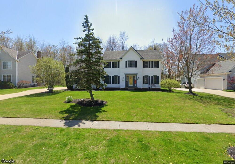
490 Walnut Ridge Trail Aurora, OH 44202
Estimated Value: $427,000 - $606,000
4
Beds
3
Baths
2,424
Sq Ft
$207/Sq Ft
Est. Value
About This Home
This home is located at 490 Walnut Ridge Trail, Aurora, OH 44202 and is currently estimated at $502,753, approximately $207 per square foot. 490 Walnut Ridge Trail is a home located in Portage County with nearby schools including Miller Elementary School, Craddock/Miller Elementary School, and Leighton Elementary School.
Ownership History
Date
Name
Owned For
Owner Type
Purchase Details
Closed on
Apr 23, 2001
Sold by
Arvan Peter D
Bought by
Merkel William F and Merkel Carla M
Current Estimated Value
Home Financials for this Owner
Home Financials are based on the most recent Mortgage that was taken out on this home.
Original Mortgage
$215,200
Outstanding Balance
$80,571
Interest Rate
7.23%
Estimated Equity
$422,182
Purchase Details
Closed on
Aug 20, 1996
Sold by
Hawthorn Of Aurora Ltd
Bought by
L & J Builders Inc
Create a Home Valuation Report for This Property
The Home Valuation Report is an in-depth analysis detailing your home's value as well as a comparison with similar homes in the area
Home Values in the Area
Average Home Value in this Area
Purchase History
| Date | Buyer | Sale Price | Title Company |
|---|---|---|---|
| Merkel William F | $269,000 | Resource Title Agency Inc | |
| L & J Builders Inc | $60,000 | -- |
Source: Public Records
Mortgage History
| Date | Status | Borrower | Loan Amount |
|---|---|---|---|
| Open | Merkel William F | $215,200 |
Source: Public Records
Tax History Compared to Growth
Tax History
| Year | Tax Paid | Tax Assessment Tax Assessment Total Assessment is a certain percentage of the fair market value that is determined by local assessors to be the total taxable value of land and additions on the property. | Land | Improvement |
|---|---|---|---|---|
| 2024 | $7,131 | $159,530 | $35,000 | $124,530 |
| 2023 | $6,936 | $126,320 | $31,500 | $94,820 |
| 2022 | $6,281 | $126,320 | $31,500 | $94,820 |
| 2021 | $6,316 | $126,320 | $31,500 | $94,820 |
| 2020 | $6,064 | $113,230 | $31,500 | $81,730 |
| 2019 | $6,113 | $113,230 | $31,500 | $81,730 |
| 2018 | $5,987 | $100,800 | $29,750 | $71,050 |
| 2017 | $5,987 | $100,800 | $29,750 | $71,050 |
| 2016 | $5,394 | $100,800 | $29,750 | $71,050 |
| 2015 | $5,547 | $100,800 | $29,750 | $71,050 |
| 2014 | $5,365 | $95,550 | $29,750 | $65,800 |
| 2013 | $5,331 | $95,550 | $29,750 | $65,800 |
Source: Public Records
Map
Nearby Homes
- 777 Nancy Dr
- 794 Robinhood Dr
- 405 Club Dr W
- 185 N Bissell Rd
- 676 Nancy Dr
- 436 Cochran Rd
- 622 Club Dr W
- 915 Cimarron Oval
- 640 Club Dr W
- 752 Club Dr W
- 316 High Bluff
- 580 Hardwick Dr
- S/L 4 Trentstone Cir
- S/L 3 Iris Place
- 762 Club Dr W
- 805 Club Dr W
- S/L 8 Trentstone Cir
- S/L 15 Trentstone Cir
- S/L 1 Trentstone Cir
- 825 Club Dr W
- 480 Walnut Ridge Trail
- 500 Walnut Ridge Trail
- 510 Walnut Ridge Trail
- 485 Walnut Ridge Trail
- 610 Robinhood Dr
- 495 Walnut Ridge Trail
- 475 Walnut Ridge Trail
- 594 Robinhood Dr
- 470 Walnut Ridge Trail
- 620 Robinhood Dr
- 505 Walnut Ridge Trail
- 584 Robinhood Dr
- 465 Walnut Ridge Trail
- 636 Robinhood Dr
- 460 Walnut Ridge Trail
- 576 Robinhood Dr
- 515 Walnut Ridge Trail
- 410 Sussex Ct
- 455 Walnut Ridge Trail
- 650 Robinhood Dr