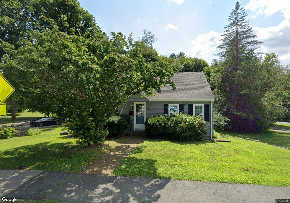
490 West St Reading, MA 01867
Estimated Value: $776,398 - $883,000
4
Beds
2
Baths
1,512
Sq Ft
$556/Sq Ft
Est. Value
About This Home
This home is located at 490 West St, Reading, MA 01867 and is currently estimated at $840,350, approximately $555 per square foot. 490 West St is a home located in Middlesex County with nearby schools including Alice M. Barrows Elementary School, Walter S. Parker Middle School, and Reading Memorial High School.
Ownership History
Date
Name
Owned For
Owner Type
Purchase Details
Closed on
Sep 30, 2004
Sold by
Burbank Robert J and Burbank Sandra M
Bought by
Zurcher Jennifer N and Zurcher Mark P
Current Estimated Value
Home Financials for this Owner
Home Financials are based on the most recent Mortgage that was taken out on this home.
Original Mortgage
$290,000
Outstanding Balance
$144,007
Interest Rate
5.81%
Mortgage Type
Purchase Money Mortgage
Estimated Equity
$696,343
Create a Home Valuation Report for This Property
The Home Valuation Report is an in-depth analysis detailing your home's value as well as a comparison with similar homes in the area
Home Values in the Area
Average Home Value in this Area
Purchase History
| Date | Buyer | Sale Price | Title Company |
|---|---|---|---|
| Zurcher Jennifer N | $387,000 | -- |
Source: Public Records
Mortgage History
| Date | Status | Borrower | Loan Amount |
|---|---|---|---|
| Open | Zurcher Jennifer N | $290,000 |
Source: Public Records
Tax History Compared to Growth
Tax History
| Year | Tax Paid | Tax Assessment Tax Assessment Total Assessment is a certain percentage of the fair market value that is determined by local assessors to be the total taxable value of land and additions on the property. | Land | Improvement |
|---|---|---|---|---|
| 2025 | $8,184 | $718,500 | $460,300 | $258,200 |
| 2024 | $8,166 | $696,800 | $446,400 | $250,400 |
| 2023 | $7,641 | $606,900 | $388,800 | $218,100 |
| 2022 | $7,256 | $544,300 | $348,700 | $195,600 |
| 2021 | $6,135 | $517,500 | $334,800 | $182,700 |
| 2020 | $5,234 | $507,200 | $328,100 | $179,100 |
| 2019 | $11,738 | $483,100 | $312,500 | $170,600 |
| 2018 | $5,000 | $451,100 | $291,800 | $159,300 |
| 2017 | $4,639 | $431,300 | $279,000 | $152,300 |
| 2016 | $6,060 | $417,900 | $267,700 | $150,200 |
| 2015 | $5,849 | $397,900 | $254,900 | $143,000 |
| 2014 | $5,455 | $370,100 | $237,100 | $133,000 |
Source: Public Records
Map
Nearby Homes
- 2 Inwood Dr Unit 1010
- 16 Taylor Dr Unit 1010
- 16 Taylor Dr Unit 1009
- 16 Munroe Ave
- 3 Bradford Rd
- 101 King St Unit 101
- 16 Glen Rd
- 25 Woodward Ave
- 99 Grove St
- 77 Mount Vernon St
- 103 High St
- 28 Martin Rd
- 3 Strout Ave
- 5 Morse Ave
- 44 Grandview Rd
- 203 Lowell St Unit 304
- 203 Lowell St Unit 119
- 203 Lowell St Unit 115
- 203 Lowell St Unit 220
- 203 Lowell St Unit 103