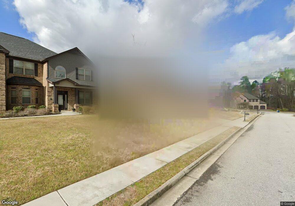
490 Willie Kate Ln Unit 11 Lawrenceville, GA 30045
Estimated Value: $532,819 - $631,000
5
Beds
4
Baths
3,802
Sq Ft
$152/Sq Ft
Est. Value
About This Home
This home is located at 490 Willie Kate Ln Unit 11, Lawrenceville, GA 30045 and is currently estimated at $578,955, approximately $152 per square foot. 490 Willie Kate Ln Unit 11 is a home located in Gwinnett County with nearby schools including W.J. Cooper Elementary School, McConnell Middle School, and Archer High School.
Ownership History
Date
Name
Owned For
Owner Type
Purchase Details
Closed on
Nov 9, 2016
Sold by
D R Horton Crown Llc
Bought by
Blackston Daryl Robert and Blackston Sabrina Nadine
Current Estimated Value
Home Financials for this Owner
Home Financials are based on the most recent Mortgage that was taken out on this home.
Original Mortgage
$248,268
Outstanding Balance
$199,630
Interest Rate
3.47%
Mortgage Type
New Conventional
Estimated Equity
$379,325
Purchase Details
Closed on
Jan 13, 2016
Sold by
Quinton Crossing Vdl Llc
Bought by
D R Horton Crown Llc
Create a Home Valuation Report for This Property
The Home Valuation Report is an in-depth analysis detailing your home's value as well as a comparison with similar homes in the area
Home Values in the Area
Average Home Value in this Area
Purchase History
| Date | Buyer | Sale Price | Title Company |
|---|---|---|---|
| Blackston Daryl Robert | $310,335 | -- | |
| D R Horton Crown Llc | -- | -- |
Source: Public Records
Mortgage History
| Date | Status | Borrower | Loan Amount |
|---|---|---|---|
| Open | Blackston Daryl Robert | $248,268 |
Source: Public Records
Tax History Compared to Growth
Tax History
| Year | Tax Paid | Tax Assessment Tax Assessment Total Assessment is a certain percentage of the fair market value that is determined by local assessors to be the total taxable value of land and additions on the property. | Land | Improvement |
|---|---|---|---|---|
| 2024 | $7,055 | $242,680 | $36,000 | $206,680 |
| 2023 | $7,055 | $217,760 | $48,000 | $169,760 |
| 2022 | $6,215 | $203,240 | $43,600 | $159,640 |
| 2021 | $5,089 | $145,080 | $34,400 | $110,680 |
| 2020 | $4,778 | $129,160 | $29,920 | $99,240 |
| 2019 | $4,611 | $129,160 | $29,920 | $99,240 |
| 2018 | $4,619 | $129,160 | $29,920 | $99,240 |
| 2016 | $601 | $15,600 | $15,600 | $0 |
| 2015 | $405 | $10,000 | $10,000 | $0 |
| 2014 | $336 | $8,000 | $8,000 | $0 |
Source: Public Records
Map
Nearby Homes
- 490 Willie Kate Ln Unit 49
- 490 Willie Kate Ln Unit 38
- 490 Willie Kate Ln
- 500 Willie Kate Ln Unit 48
- 500 Willie Kate Ln
- 480 Willie Kate Ln
- 538 Martha Sue Dr
- 538 Martha Sue Dr Unit 50
- 531 Willie Kate Ln
- 531 Willie Kate Ln Unit 31
- 510 Willie Kate Ln
- 0 Willie Kate Ln Unit 8390629
- 0 Willie Kate Ln Unit 8766575
- 0 Willie Kate Ln Unit 8837267
- 0 Willie Kate Ln Unit 7328937
- 0 Willie Kate Ln Unit 7328898
- 0 Willie Kate Ln Unit 7417378
- 0 Willie Kate Ln
- 481 Willie Kate Ln
- 675 Clark Lake Estates Dr