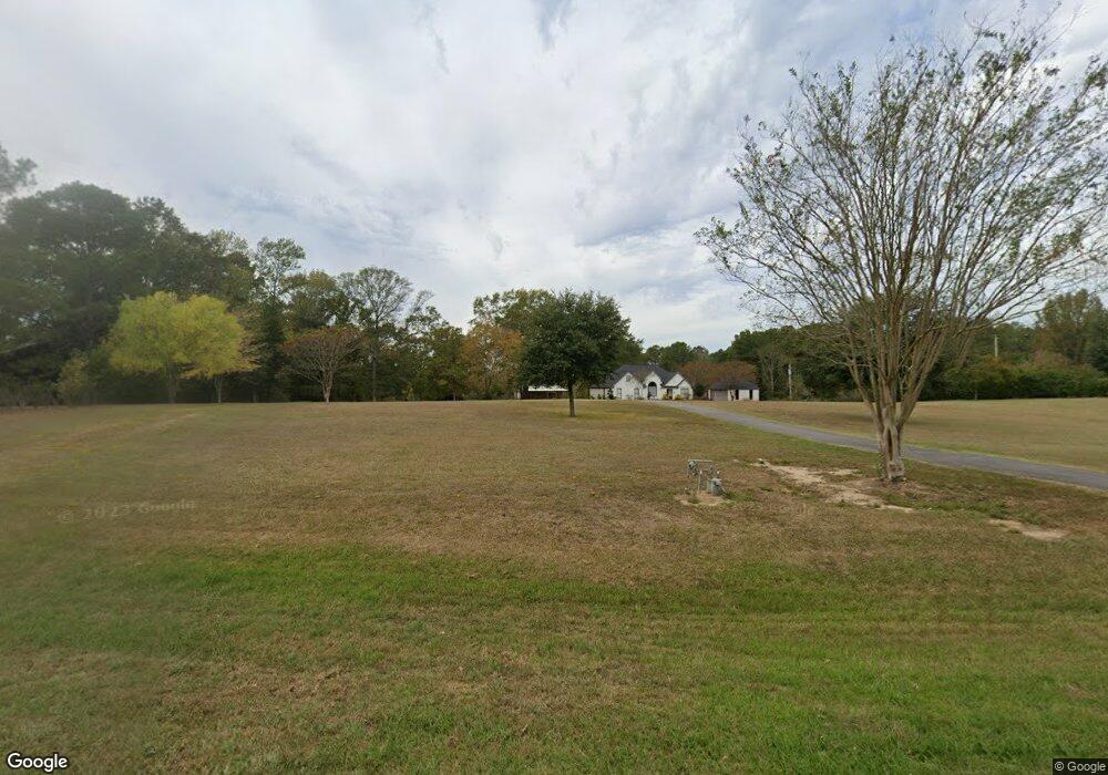
4900 Highway 145 Choudrant, LA 71227
Estimated Value: $343,000 - $459,000
3
Beds
3
Baths
2,425
Sq Ft
$165/Sq Ft
Est. Value
About This Home
This home is located at 4900 Highway 145, Choudrant, LA 71227 and is currently estimated at $400,173, approximately $165 per square foot. 4900 Highway 145 is a home located in Lincoln Parish with nearby schools including Choudrant Elementary School, Choudrant High School, and Ruston Junior High School.
Ownership History
Date
Name
Owned For
Owner Type
Purchase Details
Closed on
Apr 26, 2019
Sold by
Jowers James G and Jowers Tanya H
Bought by
Williams Brandon W and Williams Jesica C
Current Estimated Value
Purchase Details
Closed on
Jun 3, 2011
Sold by
Hankins Croswell Brenda R
Bought by
Hood Jowets James G and Hood Jowers Tanya Nicole
Home Financials for this Owner
Home Financials are based on the most recent Mortgage that was taken out on this home.
Original Mortgage
$240,300
Interest Rate
4.66%
Mortgage Type
Purchase Money Mortgage
Create a Home Valuation Report for This Property
The Home Valuation Report is an in-depth analysis detailing your home's value as well as a comparison with similar homes in the area
Purchase History
| Date | Buyer | Sale Price | Title Company |
|---|---|---|---|
| Williams Brandon W | $390,000 | -- | |
| Hood Jowets James G | $267,000 | None Available |
Source: Public Records
Mortgage History
| Date | Status | Borrower | Loan Amount |
|---|---|---|---|
| Previous Owner | Hood Jowets James G | $240,300 |
Source: Public Records
Tax History
| Year | Tax Paid | Tax Assessment Tax Assessment Total Assessment is a certain percentage of the fair market value that is determined by local assessors to be the total taxable value of land and additions on the property. | Land | Improvement |
|---|---|---|---|---|
| 2025 | $2,248 | $28,140 | $1,564 | $26,576 |
| 2024 | $2,248 | $28,141 | $1,564 | $26,577 |
| 2023 | $1,967 | $23,545 | $2,266 | $21,279 |
| 2022 | $1,954 | $23,545 | $2,266 | $21,279 |
| 2021 | $1,923 | $23,546 | $2,266 | $21,280 |
| 2020 | $1,718 | $20,897 | $2,266 | $18,631 |
| 2019 | $1,742 | $20,893 | $2,262 | $18,631 |
| 2018 | $1,743 | $20,893 | $2,262 | $18,631 |
| 2017 | $1,747 | $20,893 | $2,262 | $18,631 |
| 2016 | $1,783 | $0 | $0 | $0 |
| 2015 | $1,897 | $20,626 | $1,751 | $18,875 |
| 2013 | $1,925 | $20,626 | $1,751 | $18,875 |
Source: Public Records
Map
Nearby Homes
- 0B Shortstraw Par Road 404
- 0A Shortstraw R Par Road 404
- 0C SHortstraw Par Road 404
- 500 Hogan Rd
- 106 Tes Dr
- 510 Louisiana 556
- 219 Lamar Rd
- 0 N Depot St
- 00 Cheatwood Rd
- 634 Cheatwood Rd
- 145 Clearwater Cir
- 804 Quitman St
- 2301 E Georgia Ave
- 190 Loring Bend
- 0 Spillers Rd
- 2039 Moores Dairy Rd
- 1815 E Georgia Ave
- 2003 Jonathan Dr
- 11 Moores Dairy Rd
- 1304 Lewis St
- 4858 Highway 145
- 4876 Highway 145
- 4926 Highway 145
- 4871 Highway 145
- 4954 Highway 145
- 4966 Highway 145
- 4976 Highway 145
- 4977 Highway 145
- 4977 Highway 145
- 4781 Highway 145
- 4755 Highway 145
- 4790 Highway 145
- 5067 Highway 145
- 5039 Highway 145
- 5048 Highway 145
- 300 Addison Ln
- 5116 Highway 145
- 198 Justin Ln
- 5121 Highway 145
- 160 Addison Ln
Your Personal Tour Guide
Ask me questions while you tour the home.