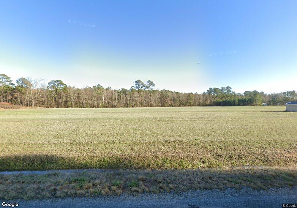
4900 Highway 472 Conway, SC 29526
Estimated Value: $148,000 - $302,000
2
Beds
2
Baths
1,269
Sq Ft
$165/Sq Ft
Est. Value
About This Home
This home is located at 4900 Highway 472, Conway, SC 29526 and is currently estimated at $208,912, approximately $164 per square foot. 4900 Highway 472 is a home located in Horry County with nearby schools including Kingston Elementary School, Conway Middle School, and Conway High School.
Ownership History
Date
Name
Owned For
Owner Type
Purchase Details
Closed on
Nov 11, 2009
Sold by
Holmes Finley Mickie
Bought by
Holmes Jason Leo
Current Estimated Value
Purchase Details
Closed on
Jul 13, 2007
Sold by
Holmes Jason Leo
Bought by
Holmes F Mickey
Home Financials for this Owner
Home Financials are based on the most recent Mortgage that was taken out on this home.
Original Mortgage
$90,060
Outstanding Balance
$56,641
Interest Rate
6.71%
Mortgage Type
Purchase Money Mortgage
Estimated Equity
$152,271
Create a Home Valuation Report for This Property
The Home Valuation Report is an in-depth analysis detailing your home's value as well as a comparison with similar homes in the area
Home Values in the Area
Average Home Value in this Area
Purchase History
| Date | Buyer | Sale Price | Title Company |
|---|---|---|---|
| Holmes Jason Leo | -- | -- | |
| Holmes F Mickey | $87,925 | Attorney |
Source: Public Records
Mortgage History
| Date | Status | Borrower | Loan Amount |
|---|---|---|---|
| Open | Holmes F Mickey | $90,060 |
Source: Public Records
Tax History Compared to Growth
Tax History
| Year | Tax Paid | Tax Assessment Tax Assessment Total Assessment is a certain percentage of the fair market value that is determined by local assessors to be the total taxable value of land and additions on the property. | Land | Improvement |
|---|---|---|---|---|
| 2024 | $469 | $9,191 | $5,022 | $4,169 |
| 2023 | $442 | $3,590 | $1,530 | $2,060 |
| 2021 | $429 | $5,386 | $2,296 | $3,090 |
| 2020 | $357 | $5,386 | $2,296 | $3,090 |
| 2019 | $357 | $5,386 | $2,296 | $3,090 |
| 2018 | $332 | $4,818 | $1,566 | $3,252 |
| 2017 | -- | $3,212 | $1,044 | $2,168 |
| 2016 | -- | $3,212 | $1,044 | $2,168 |
| 2015 | $317 | $3,212 | $1,044 | $2,168 |
| 2014 | $294 | $3,212 | $1,044 | $2,168 |
Source: Public Records
Map
Nearby Homes
- TBD Dukes Rd
- 926 Eula Dr
- TBD Bluebird Loop
- 115 Missouria Ln
- 4423 S Carolina 905
- 990 Cherrystone Loop
- 1106 Cherrystone Loop
- 194 Foxford Dr
- 183 S Carolina 66 Unit 20 SFR Lots Hwy 905
- 985 Cherrystone Loop
- 993 Cherrystone Loop
- 989 Cherrystone Loop
- Vision Plan at Shaftesbury Meadows
- Vantage Plan at Shaftesbury Meadows
- Wayfare Plan at Shaftesbury Meadows
- Venture Plan at Shaftesbury Meadows
- Prelude Plan at Shaftesbury Meadows
- Engage Plan at Shaftesbury Meadows
- Embark Plan at Shaftesbury Meadows
- Efficient Plan at Shaftesbury Meadows
- 4915 Highway 472
- 4865 Highway 472
- 4949 Highway 472
- 4956 Highway 472 Unit Lot 1
- 4820 Highway 472
- 4962 Highway 472 Unit Lot 2
- 4962 Highway 472
- 4968 Highway 472 Unit Lot 3
- 4968 Highway 472
- 1585 Dukes Rd
- 4780 Highway 472
- 4974 Highway 472 Unit Lot 4
- 4974 Highway 472
- 776 Dexter Ln
- 4750 Highway 472
- 4986 Highway 472 Unit Lot 6
- 4742 Highway 472
- 929 Hudnall Rd
- 895 Hudnall Rd
- 4992 Highway 472 Unit Lot 8
