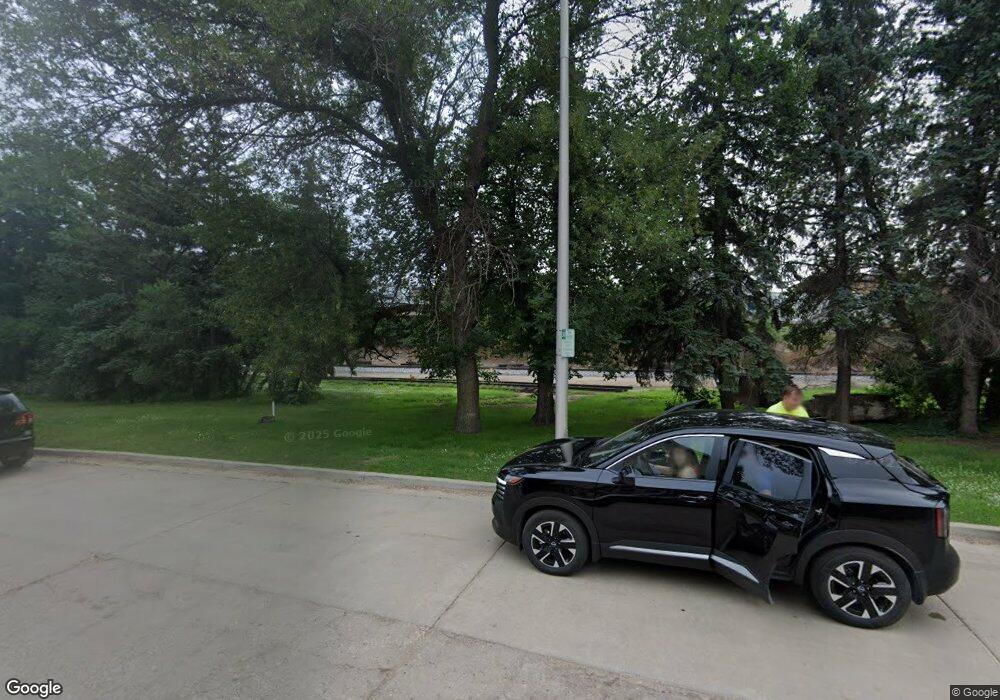
Estimated Value: $927,000 - $2,442,803
--
Bed
--
Bath
5,768
Sq Ft
$256/Sq Ft
Est. Value
About This Home
This home is located at 4900 Hwy 2 & 52 W, Minot, ND 58701 and is currently estimated at $1,476,601, approximately $255 per square foot. 4900 Hwy 2 & 52 W is a home located in Ward County with nearby schools including Perkett Elementary School, Jim Hill Middle School, and Magic City Campus High School.
Ownership History
Date
Name
Owned For
Owner Type
Purchase Details
Closed on
Jul 20, 2021
Sold by
Clean Tech Investments Llc
Bought by
4900 Hwy 2 & 52 W Llc
Current Estimated Value
Home Financials for this Owner
Home Financials are based on the most recent Mortgage that was taken out on this home.
Original Mortgage
$250,000
Outstanding Balance
$227,044
Interest Rate
2.96%
Mortgage Type
Stand Alone First
Estimated Equity
$1,249,557
Purchase Details
Closed on
Apr 3, 2020
Sold by
Badlands Power Fuels Llc
Bought by
Clean Tech Investments Llc
Home Financials for this Owner
Home Financials are based on the most recent Mortgage that was taken out on this home.
Original Mortgage
$950,000
Interest Rate
3.2%
Mortgage Type
Commercial
Purchase Details
Closed on
Jul 13, 2010
Sold by
Behm Paul B and Hurt Fred
Bought by
Badlands Power Fuels Llc
Create a Home Valuation Report for This Property
The Home Valuation Report is an in-depth analysis detailing your home's value as well as a comparison with similar homes in the area
Home Values in the Area
Average Home Value in this Area
Purchase History
| Date | Buyer | Sale Price | Title Company |
|---|---|---|---|
| 4900 Hwy 2 & 52 W Llc | -- | None Available | |
| Clean Tech Investments Llc | $1,100,000 | None Available | |
| Badlands Power Fuels Llc | -- | -- |
Source: Public Records
Mortgage History
| Date | Status | Borrower | Loan Amount |
|---|---|---|---|
| Open | 4900 Hwy 2 & 52 W Llc | $250,000 | |
| Previous Owner | Clean Tech Investments Llc | $950,000 |
Source: Public Records
Tax History Compared to Growth
Tax History
| Year | Tax Paid | Tax Assessment Tax Assessment Total Assessment is a certain percentage of the fair market value that is determined by local assessors to be the total taxable value of land and additions on the property. | Land | Improvement |
|---|---|---|---|---|
| 2024 | $15,518 | $668,500 | $135,000 | $533,500 |
| 2023 | $15,266 | $660,500 | $135,000 | $525,500 |
| 2022 | $14,663 | $660,500 | $135,000 | $525,500 |
| 2021 | $12,759 | $629,500 | $135,000 | $494,500 |
| 2020 | $13,832 | $684,500 | $180,000 | $504,500 |
| 2019 | $15,719 | $766,500 | $130,000 | $636,500 |
| 2018 | $16,598 | $753,500 | $130,000 | $623,500 |
| 2017 | $16,019 | $762,500 | $130,000 | $632,500 |
| 2016 | $14,505 | $779,650 | $130,000 | $649,650 |
| 2015 | $2,355 | $779,650 | $0 | $0 |
| 2014 | $2,355 | $888,750 | $0 | $0 |
Source: Public Records
Map
Nearby Homes
- 0 Hwy 2 & 52 W & County Rd 17 Unit LOT 1 BLOCK 1 230988
- 0 Hwy 2 & 52 W & County Rd 17 Unit LOT 1 BLOCK 2 230987
- 0 Hwy 2 & 52 W & County Rd 17 Unit LOT 2 BLOCK 2 230986
- 0 Hwy 2 & 52 W & County Rd 17 Unit LOT 3 BLOCK 2 230985
- 0 Hwy 2 & 52 W & County Rd 17 Unit LOT 4 BLOCK 2 230984
- TBD 61st St SW
- 6201 Hwy 2 & 52 W
- 2915 2nd Ave SW
- 5100 Tumbleweed Rd NW
- 5208 NW Tumbleweed Rd
- 5300 NW Tumbleweed Rd
- 5308 NW Tumbleweed Rd
- 6510 7th Ave NW
- 2510 2nd Ave SW
- 501 27th St NW
- 2508 1st Ave SW
- 108 24th St SW
- 18 24th St SW
- 2708 7th Ave NW
- 117 24th St SW
- 0 Us Hwy 2 & 52 & 50th St SW Unit 192608
- 5000 7th Ave SW
- 500 50th St SW
- 501 50th St SW
- 505 50th St SW
- 5250 7th Ave SW
- 5301 Highway 2 and 52 W
- 5125 Highway 2 and 52 W
- 501 53rd St SW
- 121 50th St SW
- 315 54th St SW
- 111 50th St SW
- 325 54th St SW
- 209 54th St SW
- 215 54th St SW
- 110 50th St SW
- 118 54th St NW
- 3806 Highway 2 and 52 W
- 3808 Highway 2 and 52 W Unit 52
- 410 58th St SW
