4900 Scottland Dr Mebane, NC 27302
Estimated Value: $609,000 - $990,978
4
Beds
3
Baths
4,212
Sq Ft
$182/Sq Ft
Est. Value
About This Home
This home is located at 4900 Scottland Dr, Mebane, NC 27302 and is currently estimated at $765,745, approximately $181 per square foot. 4900 Scottland Dr is a home with nearby schools including Efland Cheeks Elementary School, Gravelly Hill Middle, and Cedar Ridge High.
Ownership History
Date
Name
Owned For
Owner Type
Purchase Details
Closed on
Oct 20, 2004
Sold by
Governors Grove Llc
Bought by
Aucoin Timothy L and Aucoin Julia W
Current Estimated Value
Purchase Details
Closed on
Dec 30, 2003
Sold by
Scottland Estates Llc
Bought by
Governors Grove Llc
Home Financials for this Owner
Home Financials are based on the most recent Mortgage that was taken out on this home.
Original Mortgage
$65,000
Interest Rate
5.82%
Mortgage Type
Seller Take Back
Create a Home Valuation Report for This Property
The Home Valuation Report is an in-depth analysis detailing your home's value as well as a comparison with similar homes in the area
Home Values in the Area
Average Home Value in this Area
Purchase History
| Date | Buyer | Sale Price | Title Company |
|---|---|---|---|
| Aucoin Timothy L | $59,000 | -- | |
| Governors Grove Llc | $65,000 | -- |
Source: Public Records
Mortgage History
| Date | Status | Borrower | Loan Amount |
|---|---|---|---|
| Previous Owner | Governors Grove Llc | $65,000 |
Source: Public Records
Tax History
| Year | Tax Paid | Tax Assessment Tax Assessment Total Assessment is a certain percentage of the fair market value that is determined by local assessors to be the total taxable value of land and additions on the property. | Land | Improvement |
|---|---|---|---|---|
| 2025 | $6,839 | $946,100 | $150,500 | $795,600 |
| 2024 | $6,067 | $627,000 | $72,200 | $554,800 |
| 2023 | $5,898 | $627,000 | $72,200 | $554,800 |
| 2022 | $5,809 | $627,000 | $72,200 | $554,800 |
| 2021 | $5,668 | $627,000 | $72,200 | $554,800 |
| 2020 | $5,816 | $606,200 | $94,800 | $511,400 |
| 2018 | $5,700 | $606,200 | $94,800 | $511,400 |
| 2017 | $5,711 | $606,200 | $94,800 | $511,400 |
| 2016 | $5,711 | $591,100 | $74,600 | $516,500 |
| 2015 | $6,596 | $691,800 | $74,600 | $617,200 |
| 2014 | $6,576 | $691,800 | $74,600 | $617,200 |
Source: Public Records
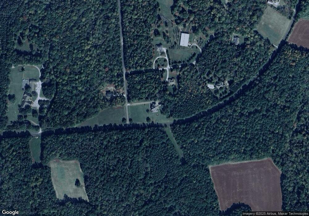
Map
Nearby Homes
- 6621 Nicks Rd
- 4443 Mebane Oaks Rd
- 4962 Homestead Dr
- 5319 Osprey Dr
- 3853 Mount Willen Rd
- 4939 Nature Ln
- 7223 Apple Mill Rd
- 3337 Scarlet Oak Dr
- 4617 Sams Rd
- 4620 Sams Rd
- 4975 Oak Grove Church Rd
- 1017 Fortune Ln
- 0 Nell Rd
- 4364 Salem Church Rd
- 3841 Redbud Rd
- 3309 E Calloway Dr
- 0 Teer Rd Unit 10124109
- 0 Teer Rd Unit 100532811
- 4182 Flint Rock Dr
- 2551 Saxapahaw-Bethlehem Church Rd
- 217 Dressage Ct
- 4903 Scottland Dr
- 0 Dressage Ct
- 222 Dressage Ct
- 221 Dressage Ct
- 225 Dressage Ct
- 6397 Nicks Rd
- 5901 Nicks Rd
- Lot 2 Scottland Dr
- Lot 14 Scottland Dr
- Lot 13 Scottland Dr
- Lot 3 Scottland Dr
- 20 Scottland Dr
- 19 Scottland Dr
- 14 Scottland Dr
- 6404 Nicks Rd
- 5835 Nicks Rd
- lot 16 Scottland Dr
- 6409 Nicks Rd
- 4639 Scottland Dr
Your Personal Tour Guide
Ask me questions while you tour the home.