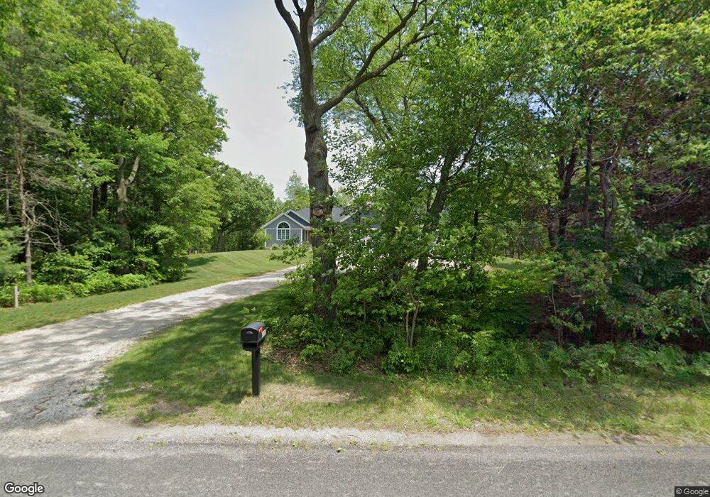
4900 Wilfred St Muskegon, MI 49444
Estimated Value: $383,000 - $729,588
--
Bed
1
Bath
2,220
Sq Ft
$240/Sq Ft
Est. Value
About This Home
This home is located at 4900 Wilfred St, Muskegon, MI 49444 and is currently estimated at $532,863, approximately $240 per square foot. 4900 Wilfred St is a home with nearby schools including Fruitport High School, Edgewood Elementary Academy, and Western Michigan Christian High School.
Ownership History
Date
Name
Owned For
Owner Type
Purchase Details
Closed on
Apr 20, 2018
Sold by
Kohley Dolores M
Bought by
Misze Edward T and Misze Shannon L
Current Estimated Value
Home Financials for this Owner
Home Financials are based on the most recent Mortgage that was taken out on this home.
Original Mortgage
$148,500
Outstanding Balance
$125,906
Interest Rate
3.85%
Mortgage Type
Adjustable Rate Mortgage/ARM
Estimated Equity
$406,957
Create a Home Valuation Report for This Property
The Home Valuation Report is an in-depth analysis detailing your home's value as well as a comparison with similar homes in the area
Home Values in the Area
Average Home Value in this Area
Purchase History
| Date | Buyer | Sale Price | Title Company |
|---|---|---|---|
| Misze Edward T | $165,000 | None Available |
Source: Public Records
Mortgage History
| Date | Status | Borrower | Loan Amount |
|---|---|---|---|
| Open | Misze Edward T | $148,500 |
Source: Public Records
Tax History Compared to Growth
Tax History
| Year | Tax Paid | Tax Assessment Tax Assessment Total Assessment is a certain percentage of the fair market value that is determined by local assessors to be the total taxable value of land and additions on the property. | Land | Improvement |
|---|---|---|---|---|
| 2025 | $7,600 | $333,400 | $0 | $0 |
| 2024 | $5,408 | $327,600 | $0 | $0 |
| 2023 | $5,170 | $291,500 | $0 | $0 |
| 2022 | $6,690 | $250,500 | $0 | $0 |
| 2021 | $6,503 | $235,800 | $0 | $0 |
| 2020 | $6,433 | $213,000 | $0 | $0 |
| 2019 | $2,140 | $42,600 | $0 | $0 |
| 2018 | $1,121 | $42,600 | $0 | $0 |
| 2017 | $1,098 | $42,600 | $0 | $0 |
| 2016 | $819 | $27,900 | $0 | $0 |
| 2015 | -- | $25,600 | $0 | $0 |
| 2014 | -- | $25,600 | $0 | $0 |
| 2013 | -- | $25,600 | $0 | $0 |
Source: Public Records
Map
Nearby Homes
- 5005 Airline Rd
- 2171 Monte Ave
- 2509 August Ave
- 4697 S Quarterline Rd
- 4563 Keener St
- 4441 S Sheridan Dr
- 2025 E Sternberg Rd
- 4769 Harvey St
- 2322 Cline Rd
- 2355 Cress Creek Dr
- 4677 Harvey St
- 1404 E Ellis Rd
- V/L S Sheridan Dr
- 5810 Larson Ln
- 6533 Harvey St
- 1283 E Ellis Rd Unit 18
- 1283 E Ellis Rd Unit 20
- 1283 E Ellis Rd Unit 19
- 1283 E Ellis Rd Unit 21
- 5996 N Bear Den Trail
- 4860 Wilfred St
- 4901 Kathryn St
- 4929 Wilfred St
- 4858 Kathryn St
- 4885 Kathryn St
- 4944 Airline Rd
- 4835 Wilfred St
- 4816 Wilfred St
- 4924 Airline Rd
- 0 Airline Rd
- 4875 Kathryn St
- 4848 Kathryn St
- 4865 Kathryn St
- 4906 Airline Rd
- 2187 Jensen Rd
- 4838 Kathryn St
- 2187 Jensen Rd
- 4855 Kathryn St
- 4888 Airline Rd
- 4790 Wilfred St