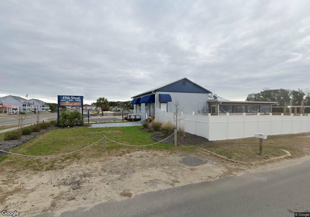
4901 E Oak Island Dr Oak Island, NC 28465
Estimated Value: $932,331
--
Bed
--
Bath
26,720
Sq Ft
$35/Sq Ft
Est. Value
About This Home
This home is located at 4901 E Oak Island Dr, Oak Island, NC 28465 and is currently estimated at $932,331, approximately $34 per square foot. 4901 E Oak Island Dr is a home located in Brunswick County with nearby schools including Southport Elementary School, South Brunswick Middle School, and South Brunswick High School.
Ownership History
Date
Name
Owned For
Owner Type
Purchase Details
Closed on
Jul 5, 2022
Sold by
Courtney England Marian
Bought by
England Marian Courtney and Andrews Clay Lee
Current Estimated Value
Purchase Details
Closed on
Jul 1, 2022
Sold by
Unknown
Bought by
Shore Charles A
Purchase Details
Closed on
Aug 25, 2020
Sold by
Shore Samuel David and Griffie Carolyn
Bought by
Shore Charles
Purchase Details
Closed on
May 18, 2005
Sold by
Natural Investments
Bought by
Shore Samuel D and Griffie Carolyn
Home Financials for this Owner
Home Financials are based on the most recent Mortgage that was taken out on this home.
Original Mortgage
$150,000
Interest Rate
5.88%
Mortgage Type
Future Advance Clause Open End Mortgage
Create a Home Valuation Report for This Property
The Home Valuation Report is an in-depth analysis detailing your home's value as well as a comparison with similar homes in the area
Home Values in the Area
Average Home Value in this Area
Purchase History
| Date | Buyer | Sale Price | Title Company |
|---|---|---|---|
| England Marian Courtney | -- | None Listed On Document | |
| England Marian Courtney | -- | None Listed On Document | |
| Shore Charles A | -- | Geddings & Kleva Pllc | |
| Shore Charles | $480,000 | None Available | |
| Shore Samuel D | -- | None Available |
Source: Public Records
Mortgage History
| Date | Status | Borrower | Loan Amount |
|---|---|---|---|
| Previous Owner | Shore Samuel D | $150,000 |
Source: Public Records
Tax History Compared to Growth
Tax History
| Year | Tax Paid | Tax Assessment Tax Assessment Total Assessment is a certain percentage of the fair market value that is determined by local assessors to be the total taxable value of land and additions on the property. | Land | Improvement |
|---|---|---|---|---|
| 2025 | -- | $708,360 | $610,260 | $98,100 |
| 2024 | $3,106 | $708,360 | $610,260 | $98,100 |
| 2023 | $2,580 | $705,960 | $610,260 | $95,700 |
| 2022 | $2,580 | $422,880 | $359,130 | $63,750 |
| 2021 | $2,379 | $396,020 | $359,130 | $36,890 |
| 2020 | $2,329 | $396,020 | $359,130 | $36,890 |
| 2019 | $2,329 | $362,070 | $359,130 | $2,940 |
| 2018 | $1,295 | $165,440 | $162,500 | $2,940 |
| 2017 | $1,295 | $165,440 | $162,500 | $2,940 |
| 2016 | $1,245 | $165,440 | $162,500 | $2,940 |
| 2015 | $1,245 | $199,020 | $162,500 | $36,520 |
| 2014 | $1,520 | $273,625 | $236,380 | $37,245 |
Source: Public Records
Map
Nearby Homes
- 5016 E Oak Island Dr Unit 8
- 5022 E Oak Island Dr Unit 3
- 4920 E Beach Dr
- 4328 E Dolphin Dr
- 116 SE 45th St
- 4619 E Beach Dr
- 114 NE 50th St
- 105 SE 53rd St
- 4319 E Pelican Dr
- 115 SE 45th St
- 5201 E Pelican Dr
- 4407 E Oak Island Dr
- 4317 E Pelican Dr
- 5205 E Pelican Dr
- 4401 E Oak Island Dr
- 106 SE 44th St
- 5207 E Pelican Dr
- 104 NE 52nd
- 117 NE 52nd St
- 109 SE 44th St
- 4908 E Oak Island Dr
- 4900 E Oak Island Dr
- 4815 E Oak Island Dr
- 4910 E Oak Island Dr
- 123 SE 50th St
- 101 SE 49th St
- 4912 E Oak Island Dr
- 4912 E Oak Island Dr Unit E
- 120 SE 49th St
- 120 SE 49th St
- 122 SE 49th St
- 118 SE 49th St
- 4805 E Oak Island Dr
- 4801 E Oak Island Dr
- 4800 E Oak Island Dr
- 119 SE 50th St
- 126 SE 49th St
- 126 SE 49th St Unit 11
- 126 SE 49th St Unit 10
- 126 SE 49th St Unit 9