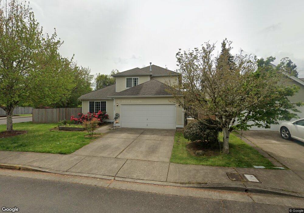
4902 SW Aster St Corvallis, OR 97333
Southwest Corvallis NeighborhoodEstimated Value: $510,000 - $571,000
3
Beds
3
Baths
1,841
Sq Ft
$292/Sq Ft
Est. Value
About This Home
This home is located at 4902 SW Aster St, Corvallis, OR 97333 and is currently estimated at $536,776, approximately $291 per square foot. 4902 SW Aster St is a home located in Benton County with nearby schools including Adams Elementary School, Linus Pauling Middle School, and Corvallis High School.
Ownership History
Date
Name
Owned For
Owner Type
Purchase Details
Closed on
Dec 7, 2011
Sold by
Williams Cynthia C
Bought by
Shelby Byron B and Shelby Kathleen M
Current Estimated Value
Create a Home Valuation Report for This Property
The Home Valuation Report is an in-depth analysis detailing your home's value as well as a comparison with similar homes in the area
Home Values in the Area
Average Home Value in this Area
Purchase History
| Date | Buyer | Sale Price | Title Company |
|---|---|---|---|
| Shelby Byron B | $235,000 | Fidelity Natl Title Co Of Or |
Source: Public Records
Tax History Compared to Growth
Tax History
| Year | Tax Paid | Tax Assessment Tax Assessment Total Assessment is a certain percentage of the fair market value that is determined by local assessors to be the total taxable value of land and additions on the property. | Land | Improvement |
|---|---|---|---|---|
| 2025 | $5,853 | $313,808 | -- | -- |
| 2024 | $5,853 | $304,668 | -- | -- |
| 2023 | $5,511 | $295,794 | $0 | $0 |
| 2022 | $5,350 | $287,179 | $0 | $0 |
| 2021 | $5,173 | $278,815 | $0 | $0 |
| 2020 | $5,145 | $270,694 | $0 | $0 |
| 2019 | $4,669 | $262,810 | $0 | $0 |
| 2018 | $4,724 | $255,155 | $0 | $0 |
| 2017 | $4,209 | $247,723 | $0 | $0 |
| 2016 | $4,136 | $240,508 | $0 | $0 |
| 2015 | $4,019 | $233,503 | $0 | $0 |
| 2014 | $3,908 | $226,702 | $0 | $0 |
| 2012 | -- | $213,688 | $0 | $0 |
Source: Public Records
Map
Nearby Homes
- 4900 SW Hollyhock Cir
- 4651 SW 47th Place
- 4942 SW Hollyhock Cir
- 5300 SW Whitby Ave
- 4968 SW Kara Ave
- 5636 SW Avena Place
- Parcel #142681 SW Gerold St
- 0 SW Gerold St
- 1140 SW Sylvia St
- 5935 SW Philomath Bl
- 4525 SW Nash Ave
- 1124 SW Sylvia St
- 1045 SW 53rd St
- 1123 SW Sylvia St
- 4149 SW Research Way
- 1050 SW Timian St
- 4530 SW Nash (Next To) Ave
- 2520 SW Whiteside Dr
- 3475 SW Buckeye Place
- 2829 SW Wolverine Dr
- 4910 SW Aster St
- 4918 SW Aster St
- 4896 SW Aster St
- 4901 SW Aster St
- 4911 SW Aster St
- 4926 SW Aster St
- 4919 SW Aster St
- 4897 SW Aster St
- 4890 SW Aster St
- 4900 SW Country Club Dr
- 4927 SW Aster St
- 4904 SW Roseberry St
- 4934 SW Aster St
- 4891 SW Aster St
- 4912 SW Roseberry St
- 4930 SW Country Club Dr
- 4882 SW Aster St
- 4920 SW Roseberry St
- 4898 SW Roseberry St
- 4935 SW Aster St